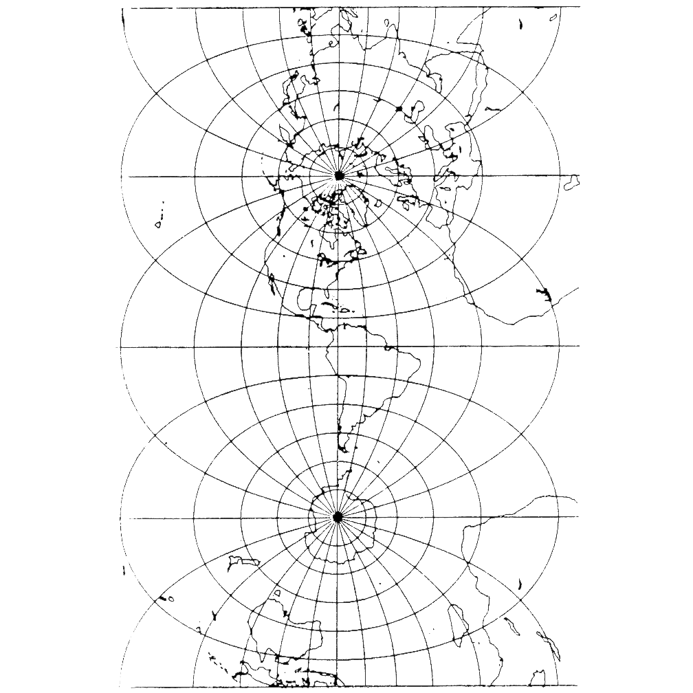


transverse_mercator
A black and white map projection showing Earth's continents with grid lines forming concentric circles around both the North and South poles. The map displays the complete global coverage pattern typical of polar-orbiting satellite paths.
Image Credit: NASA
- X
https://science.nasa.gov/image-detail/amf-b2cb2e15-4479-4708-be3f-ef6e0d41f956/
Image CreditNASA
Size1008x1008px