


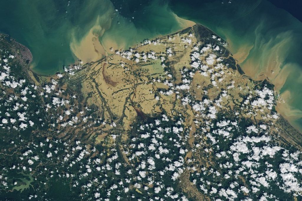
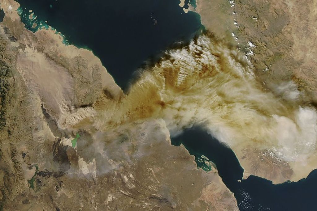


ipcat-earth
Filters

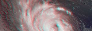
This image combines NASA's TEMPEST-D data with a visible image of the storm from NASA's GOES weather satellite revealing the…

NASA's Terra spacecraft shows Llullaillaco, a stratovolcano at the border of Argentina and Chile.

ECOSTRESS, NASA's Earth-observing mission, captured surface temperature variations in Los Angeles, California between July 22 and August 14, a period…

The ARIA team at NASA's Jet Propulsion Laboratory created this Flood Proxy Map depicting areas of the Carolinas that are…

The ARIA team at NASA's Jet Propulsion Laboratory created this Damage Proxy Map (DPM) depicting areas of the Carolinas that…

On Thursday, Sept. 13, 2018, NASA's Terra spacecraft acquired this image swath over Hurricane Florence as the storm headed for…
NASA's Terra spacecraft passed over Hurricane Florence as it approached the eastern coast of the United States on Thursday, Sept.…

NASA's Terra spacecraft passed over Hurricane Florence as it approached the eastern coast of the United States on Thursday, Sept.…

This image from NASA's SMAP shows wind estimates over Hurricane Florence on Sept. 13, 2018. The hurricane has weakened from…