NASA Earth Science Exhibit
Welcome to our NASA Earth science virtual exhibit. Explore how NASA is at your table and the impact of rising seas, learn how to find and use Earth science data, dive into Earth technology and opportunities for students and educators, and take a look at the “big picture” of NASA’s involvement in studying our home planet. Finally, visit our climate and Earth science resources and follow us on social media for the most up to date NASA Earth science news.

In the satellite era, Earth observing data has increasingly become part of the food farming process. With observations from space and aircraft, combined with high-end computer modeling, NASA scientists work with partner agencies, organizations, farmers, ranchers, fishermen, and decision makers to share our understanding of the relationship between the Earth system and the environments that provide us food.

Earth’s seas are rising, a direct result of a changing climate. Ocean temperatures are increasing, leading to ocean expansion. And as ice sheets and glaciers melt, they add more water. An armada of increasingly sophisticated instruments, deployed across the oceans, on polar ice and in orbit, reveals significant changes among globally interlocking factors that are driving sea levels higher.
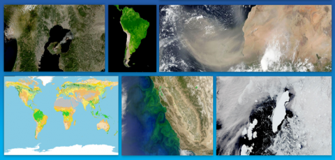
NASA's Earth Science Data Systems (ESDS) program oversees the life cycle of NASA’s Earth science data—from acquisition through processing and distribution. Find data discovery and access resources, competitive programs, computing and modeling centers, and training programs to aid both new and experienced users.
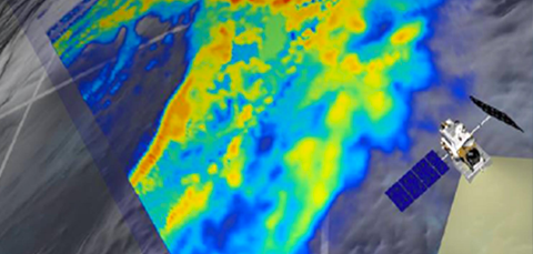
NASA uses the vantage point of space to increase our understanding of our home planet, improve lives and safeguard our future. But space is not all there is – learn more about everything from disaster response and capacity building to airborne programs and citizen science.

Wondering where to “Find Your Place” with us at NASA? Take a look at the continuum of amazing opportunities which we have within NASA’s Earth Science Division (ESD).
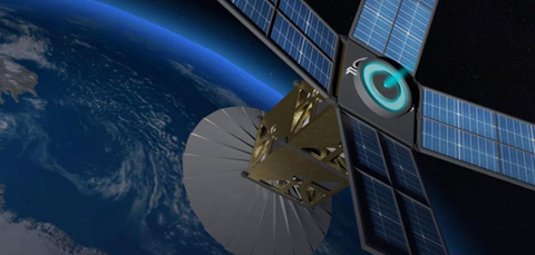
The Earth Science Technology Office funds and manages the development of nascent Earth science technologies, from algorithms that digest and analyze large Earth science datasets to novel instruments aboard airplanes and shoebox-sized satellites.
Be social – follow NASA Earth science accounts on Facebook, Twitter, Youtube and Instagram.

Top-level NASA Earth sites to visit and bookmark.
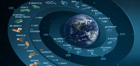
NASA uses the vantage point of space to increase our understanding of our home planet, improve lives, and safeguard our future.
Earth System Observatory Art
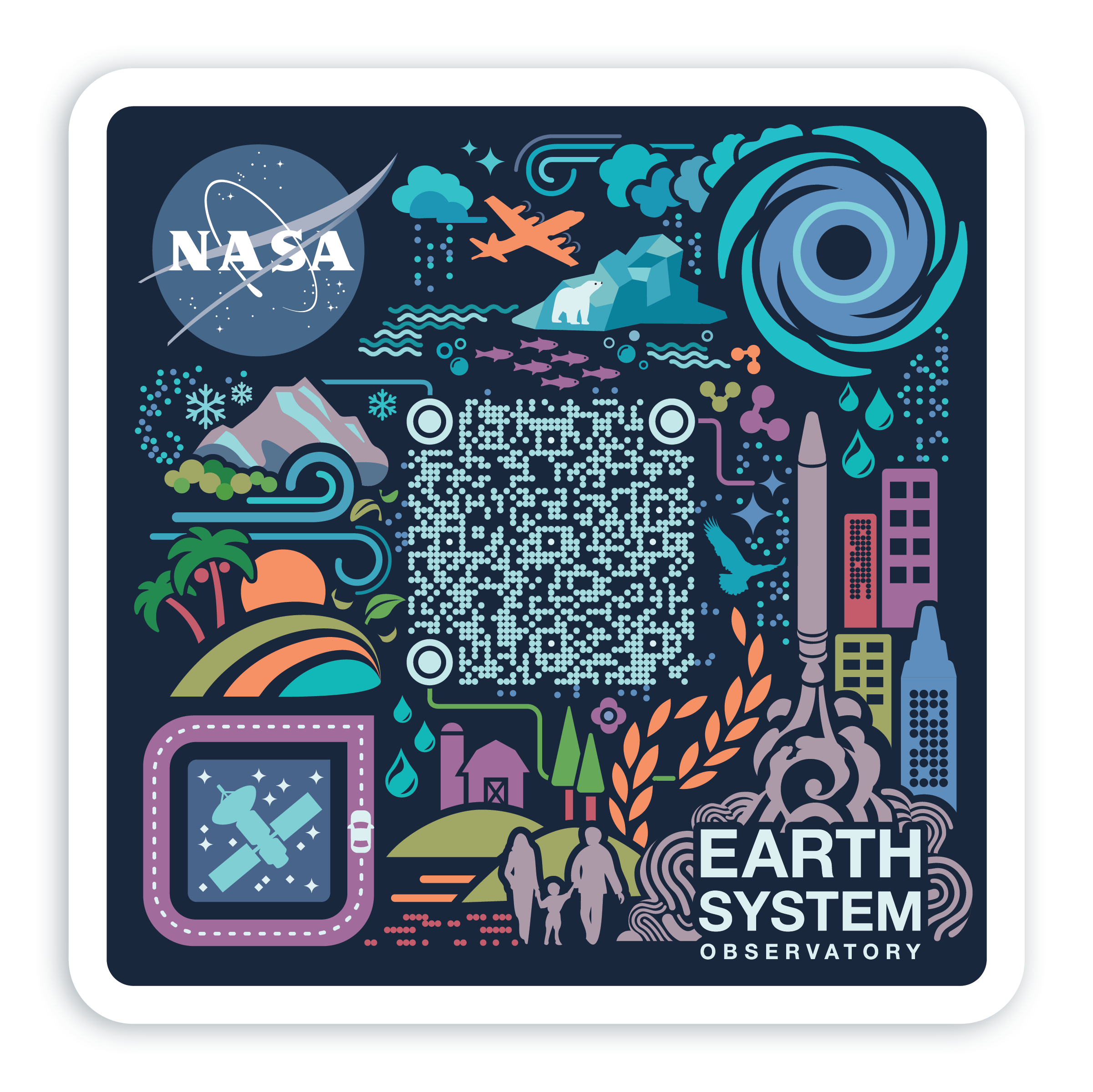
Download the art from NASA’s Earth System Observatory decal and scan the QR code for a quick link to the latest news about this major Earth Science Division initiative.
