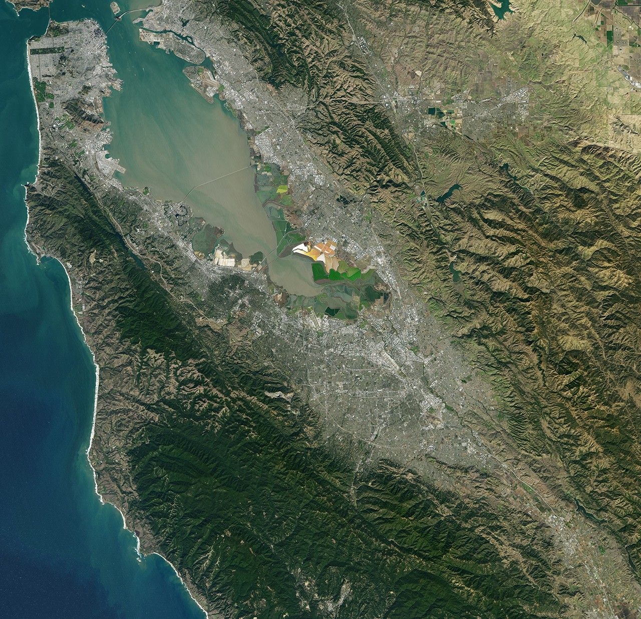
NASA Satellite Captures Super Bowl Cities – Santa Clara, CA
Landsat 7 image of the Santa Clara area acquired Nov 16, 2015. Landsat 7 is a U.S. satellite used to acquire remotely sensed images of the Earth's land surface and surrounding coastal regions. It is maintained by the Landsat 7 Project Science Office at the NASA Goddard Space Flight Center in Greenbelt, MD...Landsat satellites have been acquiring images of the Earth’s land surface since 1972. Currently there are more than 2 million Landsat images in the National Satellite Land Remote Sensing Data Archive.
Image Credit: NASA/GSFC/Landsat 7
- X
https://science.nasa.gov/image-detail/amf-d7fc583d-3984-4b29-9e48-97777cbf4c0f/
Image CreditNASA/GSFC/Landsat 7
Size6148x5933px