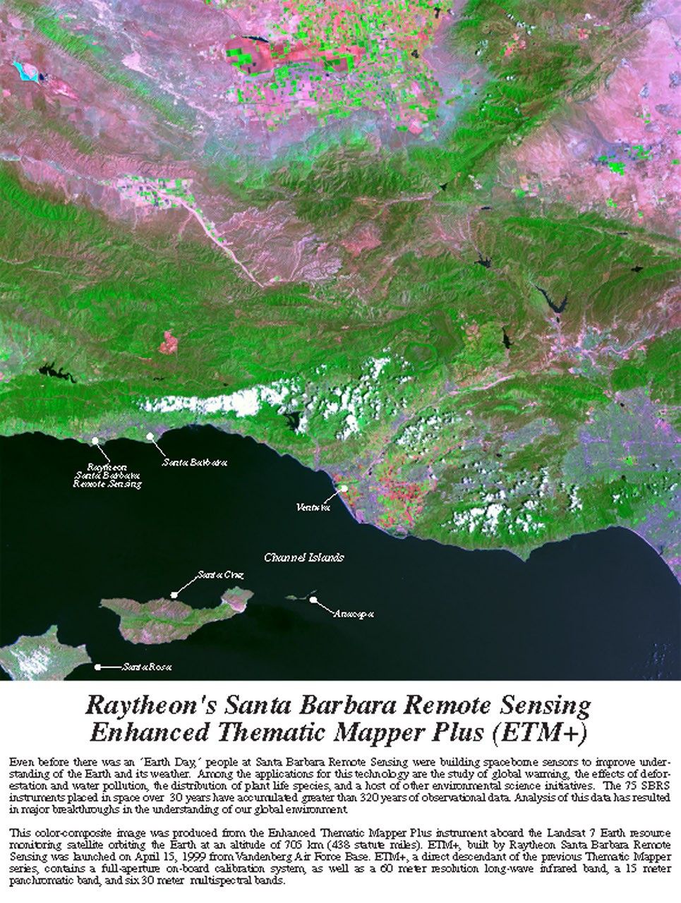
Landsat 7 ETM+ False Color Composite Image of Santa Barbara and Channel Islands
False color composite image captured by the Enhanced Thematic Mapper Plus (ETM+) instrument aboard Landsat 7, showing the Santa Barbara coastline and Channel Islands. This image highlights the capabilities of the ETM+ sensor developed by Raytheon's Santa Barbara Remote Sensing facility, displaying vegetation in green, urban areas in pink/purple, and demonstrating the instrument's multispectral imaging capabilities.
Image Credit: NASA/Raytheon
- X
https://science.nasa.gov/image-detail/amf-1d88b3a3-3361-44fb-bc19-4bae0fa8a1cb/
Image CreditNASA/Raytheon
Size1600x2122px