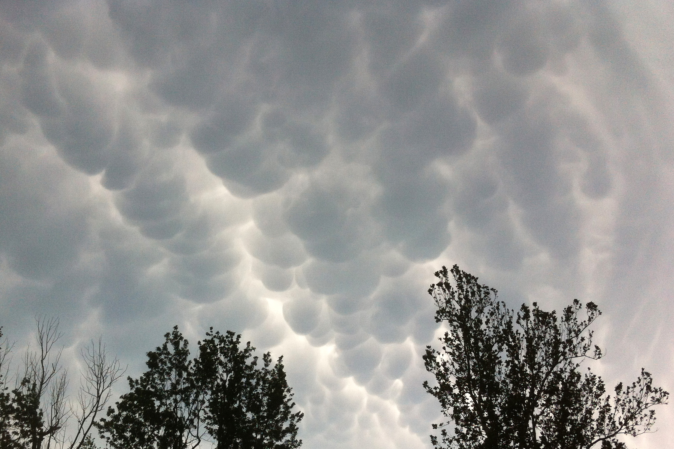
Mammatus Clouds over Oklahoma
Earth Observatory reader Warren Bonesteel sent us this shot of mammatus clouds over Duncan, Oklahoma, on May 20, 2013. They were taken at about 7:00 p.m. CST, a few minutes after a large supercell storm passed. The same storm system spawned a violent tornado that devastated the nearby city of Moore. While most clouds form in rising air and have flat bottoms, mammatus clouds have pouch-like protrusions caused by sinking air that hang on their undersides.
Mammatus clouds can only form if the sinking air is cooler than the air around it. The sinking air must also have high water or ice content. Though they are often associated with thunderstorms, the clouds are harmless and usually form in pockets of turbulent air after the worst of a storm has passed. They are not an indicator that a tornado is about to hit. You can learn more about mammatus clouds from Astronomy Picture of the Day, Earth Science Picture of the Day, AccuWeather, CBC News, EarthSky, and UCAR.
Did you have other dramatic shots of this storm system that you would like to share? Please send them to adam.p.voiland@nasa.gov. I’ll add the best of what we receive to this post.
————————————————————————————————————————————————————–
Updates:
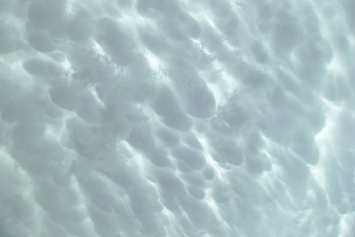
The photo below was taken on Sunday May 19, 2013, by Darren Purcell. It was taken in advance of the storm that hit Norman, Oklahoma.