


![Request for Information – Potential [Placeholder for Prize]](https://assets.science.nasa.gov/dynamicimage/assets/science/missions/a-step/FFR_Earth_Background_20251120%20.png?w=1024)


SRTM Stories
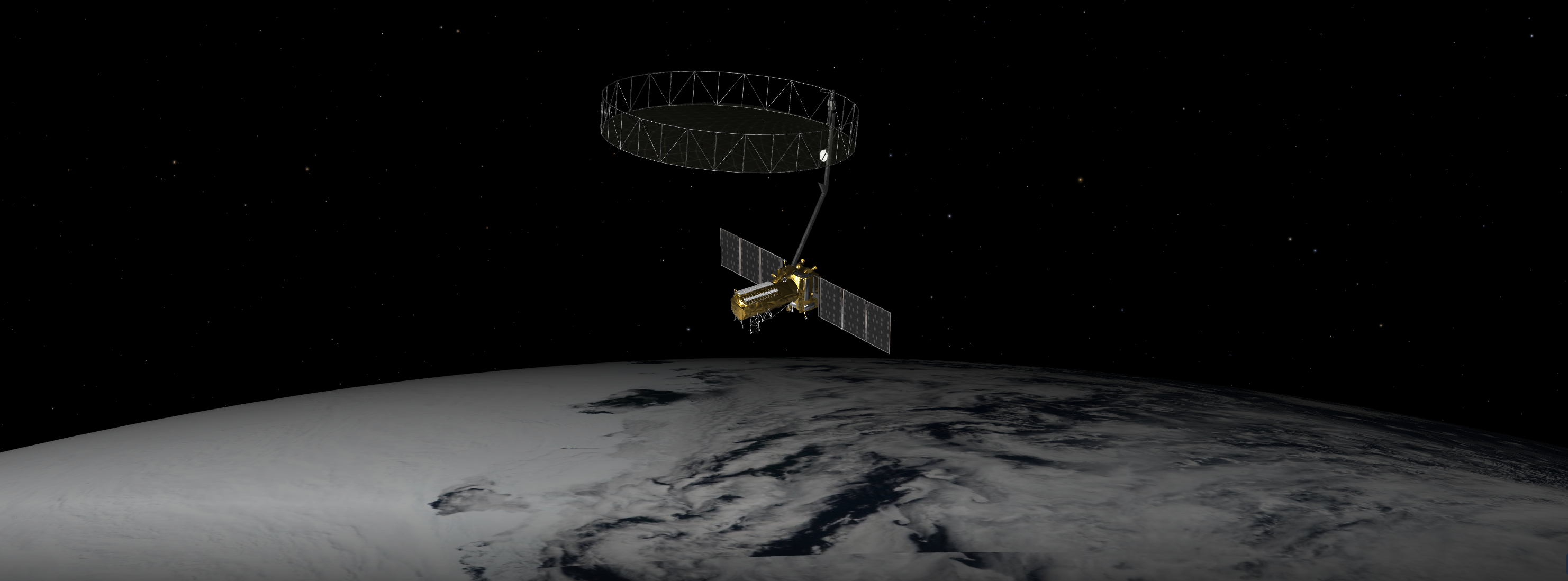
A Q&A with the lead U.S. scientist of the mission, which will track changes in everything from wetlands to ice sheets to infrastructure damaged by natural disasters. The upcoming U.S.-India NISAR (NASA-ISRO Synthetic Aperture Radar) mission will observe Earth like…
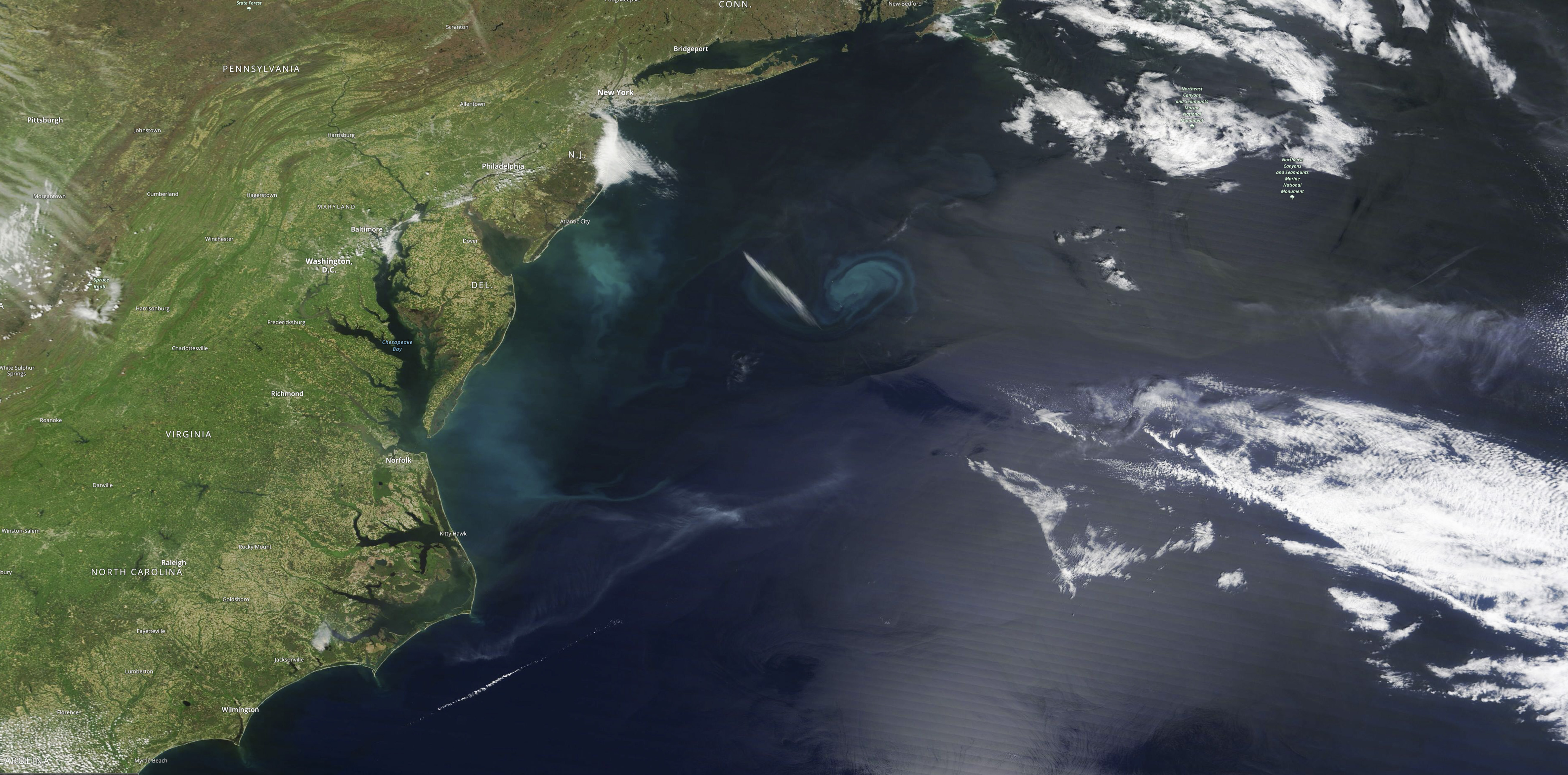
Intrusion of saltwater into coastal groundwater can make water there unusable, damage ecosystems, and corrode infrastructure. Seawater will infiltrate underground freshwater supplies in about three of every four coastal areas around the world by the year 2100, according to a…
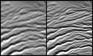
A site in the Crater Highlands of Tanzania reveals the difference between NASA's Shuttle Radar Topography Mission (SRTM) digital elevation model data as originally released in 2004 (left) and as now released at full resolution in 2014 (right).