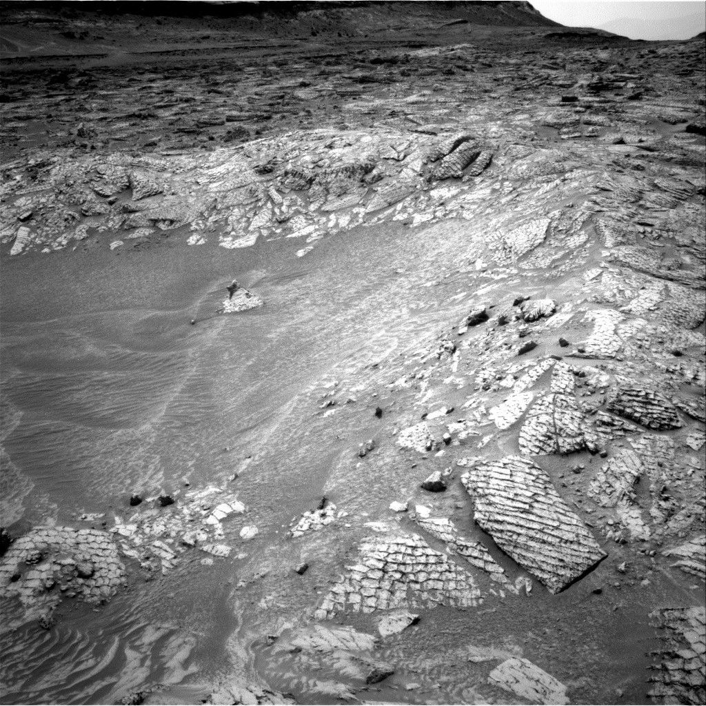
We’ve been having trouble with the path we originally wanted
to take through the sand toward the interesting geology at "Mt. Stimson", so in
today’s plan we are going to take a careful look around to identify better
routes. Mastcam has a 13x3 mosaic in the direction we want to go, as well as a
5x3 mosaic of Mt. Stimson and a 2x2 mosaic to fill a gap in a previous mosaic.
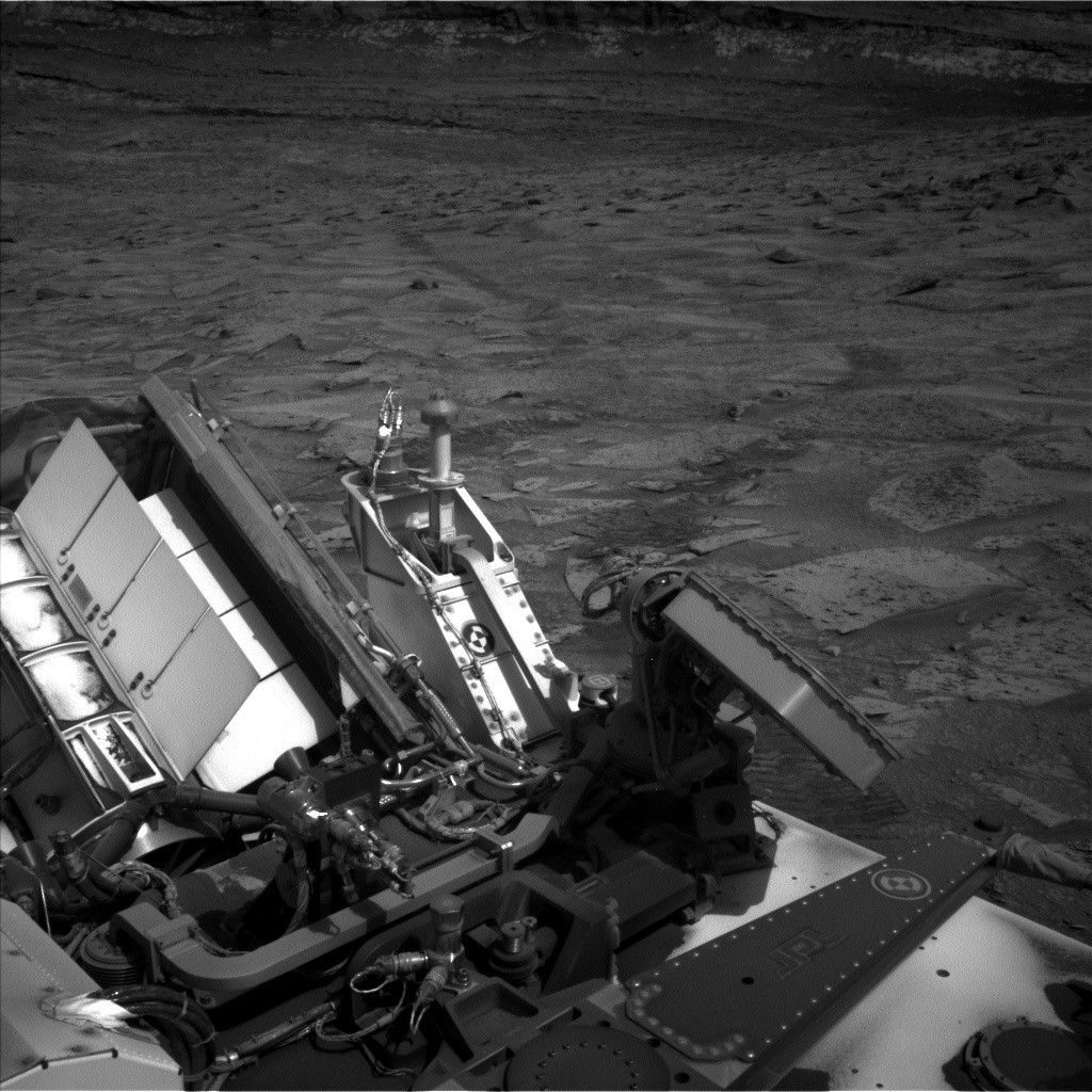
While Mastcam tries to spot a path through the sand, ChemCam
is busy testing out its new focusing software, which seems to be working well.
ChemCam has an autofocus observation of a target called "Yellowjacket", and a
z-stack observation of the same target to compare the results.
After that, we have a short backwards drive to get us from
our current highly tilted location to more level ground. After the drive,
Navcam will provide a 360 degree view of our new location, and Mastcam will do
a "clast survey" to document the sand and pebbles at our new location.
Finally, Mastcam has some night-time imaging of another
Phobos eclipse. by Ryan Anderson -Ryan is a planetary scientist at the USGS Astrogeology Science Center and a member of the ChemCam team on MSL. Dates of planned rover activities described in these reports are subject to change due to a variety of factors related to the Martian environment, communication relays and rover status.
Written by Ryan Anderson, Planetary Geologist at USGS Astrogeology Science Center