


CYGNSS Microsats to Team Up with GPS for Cyclone Observation
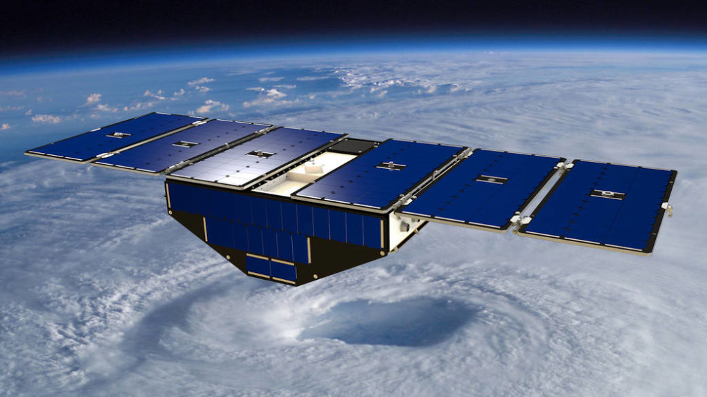
CYGNSS will utilize a constellation of eight microsatellite observatories that will be placed in a circular orbit more than 316 miles above the Earth’s surface. With an orbital inclination of 35 degrees, the small spacecraft will concentrate on the region nearest the equator — the tropics — where these cyclones form. The mission will measure surface winds in and near a hurricane’s inner core, including regions beneath the eyewall and intense inner rainbands that previously could not be measured from space.
Once fully deployed, each of the 61-pound CYGNSS microsatellites will measure about 5.4 feet long by 1.7 feet wide, and a depth of about three quarters of a foot. The Delayed Doppler Mapping Instrument (DDMI) installed on each satellite will provide wind-field imagery of the formation, intensification and decay of tropical cyclones in unprecedented detail. The DDMI also allows the CYGNSS observatories to receive signals from GPS satellites as well as signals reflected off the ocean’s surface.
The CYGNSS mission is planned to last at least two years, the minimum design life of the microsatellites.
