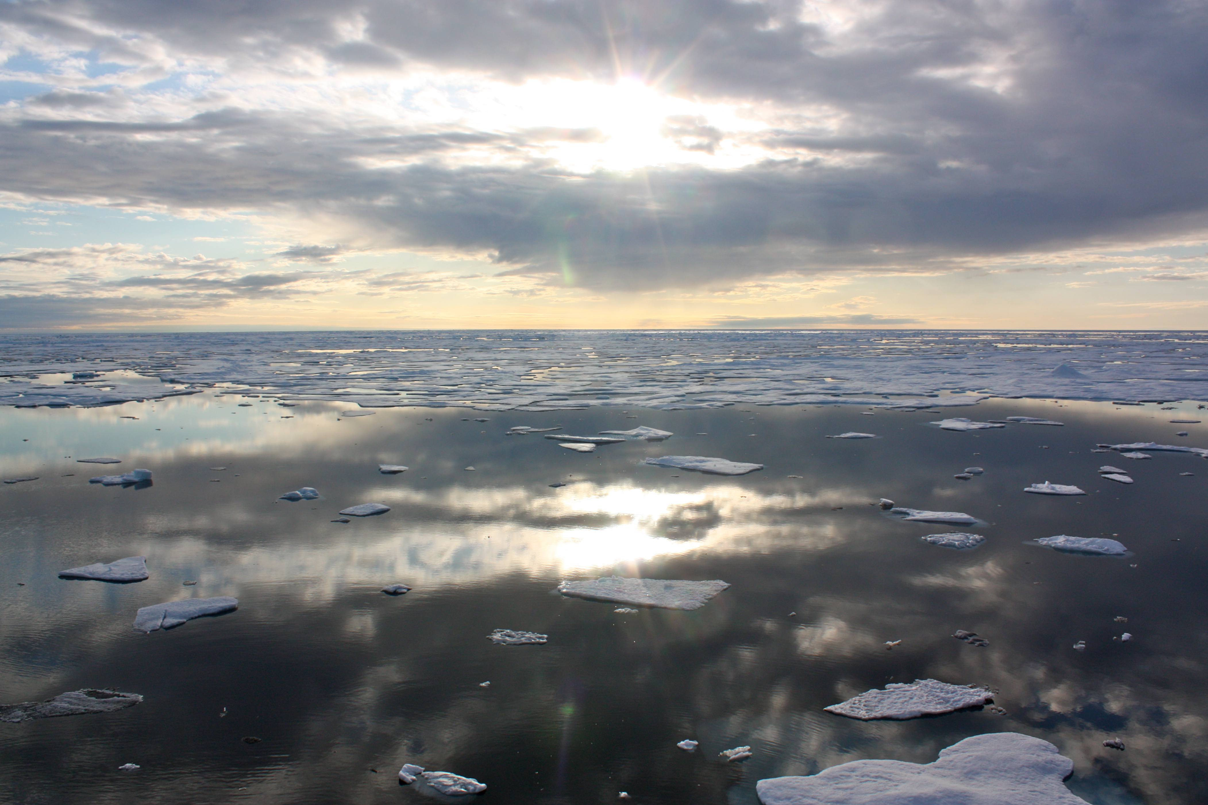
Snow and Ice
Frozen water is an essential resource across our planet and part of its natural air conditioning. With most of Earth’s freshwater stored in snow and ice, NASA uses innovative methods to study the past, present, and future of Earth’s frozen places.
Where Does NASA Fit?
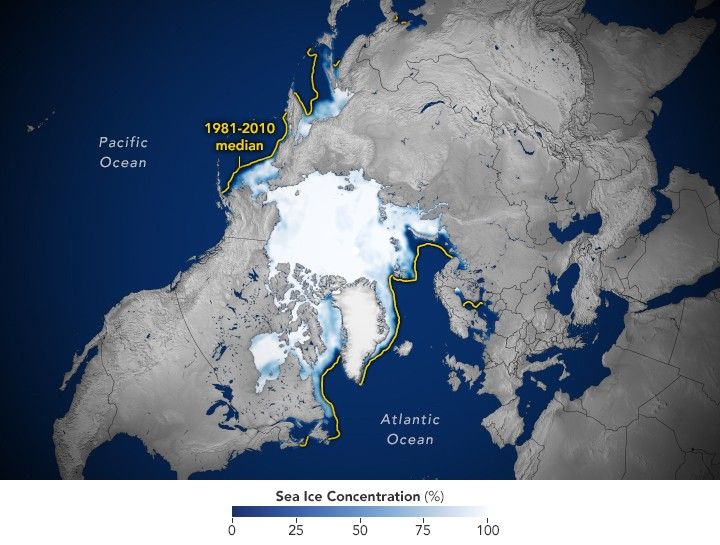
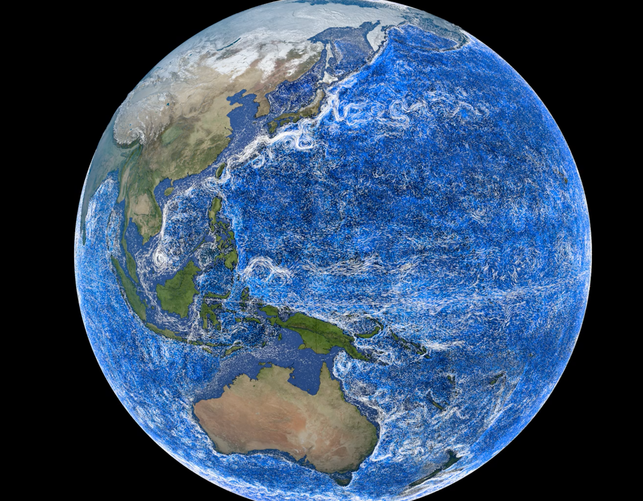
NASA’s satellites, aircraft, and field campaigns help scientists build a better understanding of snow and ice around the globe. Through decades of missions to monitor Earth’s frozen landscapes, NASA provides the data necessary for scientists to continuously monitor Earth's largest store of fresh water. Snow and ice also cool Earth’s surface, helping stabilize the climate system by reflecting sunlight back to space. NASA’s observations help scientists learn about the effects of melting snow and ice on both local and global scales.
What Is the Cryosphere?
Join NASA scientists on their journey to Earth’s cryosphere – its frozen places – as they study our changing world from satellites, planes, and the ground. As temperatures rise, the frozen regions of Earth are thawing. NASA scientists are working to understand how warming in cold regions affects life all over the Earth.
Watch on YouTubeSnow and Ice Essentials
From freeze to thaw, NASA data helps researchers assess the Earth and its response to changes over time.

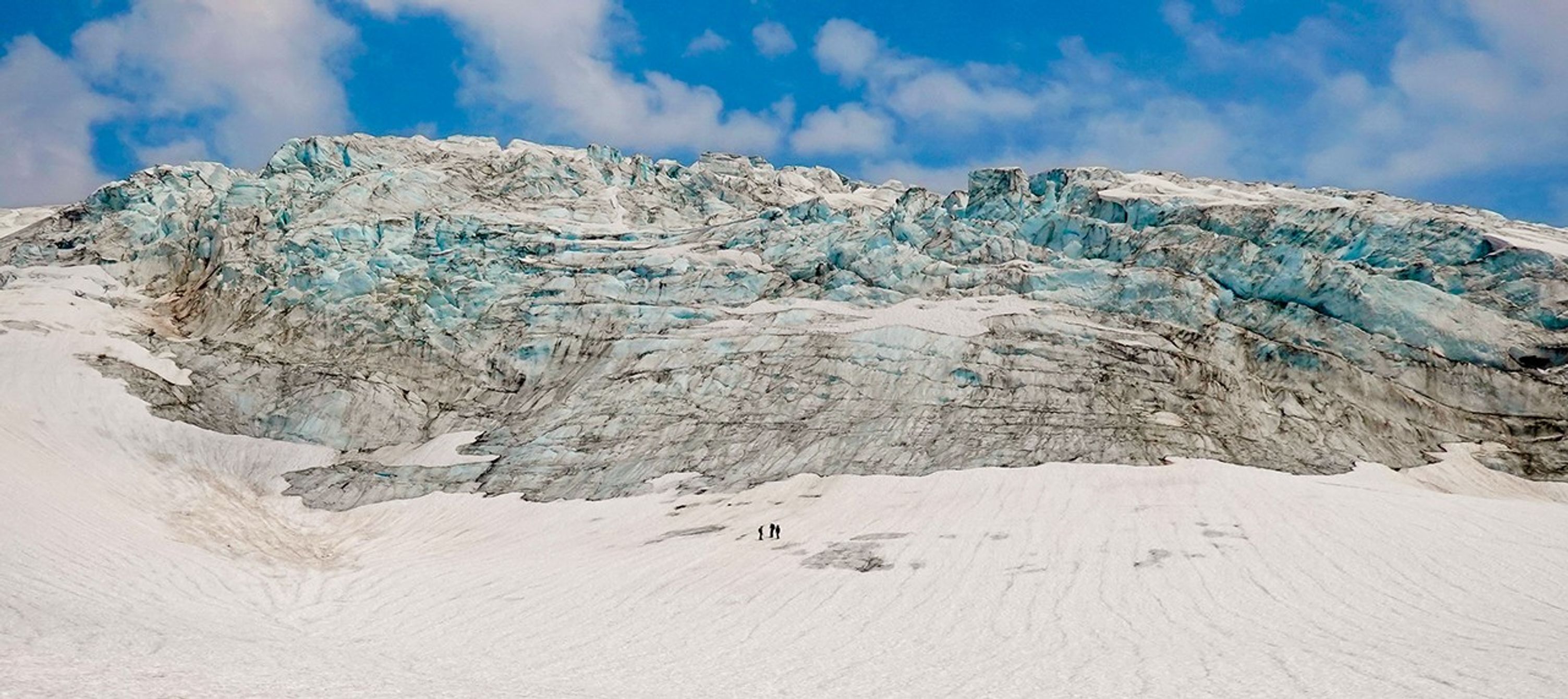
Keeping Tabs on North Cascades Glaciers
Scientists use satellites in orbit and boots on the ice to monitor glacial changes on the flanks of Mount Baker and elsewhere in Washington state.
NASA National Snow and Ice Data Center
The NSIDC manages cryospheric data from NASA Earth-observing satellite missions, airborne campaigns, and field observations.
Cryospheric Sciences at NASA
NASA uses satellite and aircraft observations to understand the factors controlling changes in the ice and its interaction with the ocean, atmosphere, solid earth, and solar radiation.
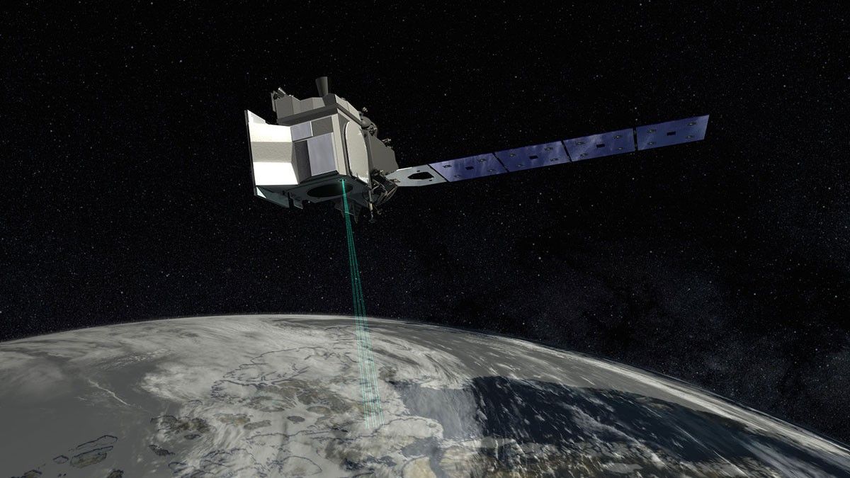
Monitoring Greenland and Antarctica from Space
Is polar ice melting? The sobering answer is yes, and it’s the number one contributor to sea level rise. NASA scientist Dr. Brooke Medley tells us how NASA studies the relationship between ice sheets and sea level to better understand our changing planet.
Learn More


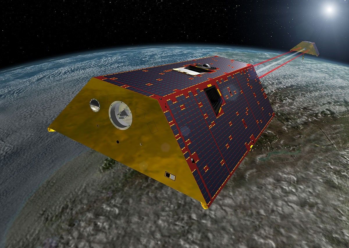
NASA Technology: How GRACE-FO Works
The force of gravity on Earth not only keeps us from floating away, it also lets NASA study Earth’s water and ice from space. Using a pair of twin satellites named GRACE, we can monitor our planet’s water.
Learn More