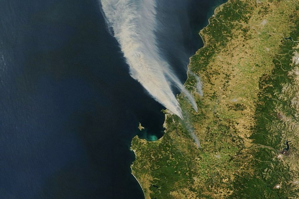
Landsat 1 image of Ouachita Mountains
First cloud-free land image acquired by the Landsat 1 multispectral scanner system (MSS), 25 July 1972, including the Ouachita Mountains in southeastern Oklahoma. The dark stripe above the image center results from several dropped MSS scanlines.
Image Credit: USGS EROS/L. Rocchio
- X
https://science.nasa.gov/image-detail/amf-71fcf586-52e2-432f-9553-8ba96049d1b3/
Image CreditUSGS EROS/L. Rocchio
Size4270x3778px


