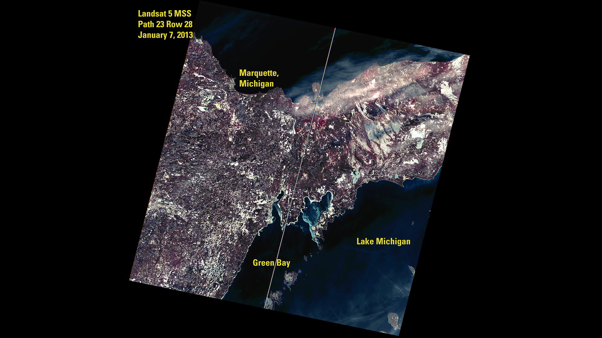
MSS's final Landsat 5 image
The final image captured by Landsat 5’s Multispectral Scanner (MSS), showing Michigan’s Upper Peninsula on January 7, 2013. Reactivated after over a decade offline, the MSS collected 15,000 additional scenes before being retired—this image was the last added to the Landsat 1–5 MSS archive.
- X
https://science.nasa.gov/image-detail/amf-5d499977-1e41-4195-9dc5-45aee2df9252/
Size1920x1080px