


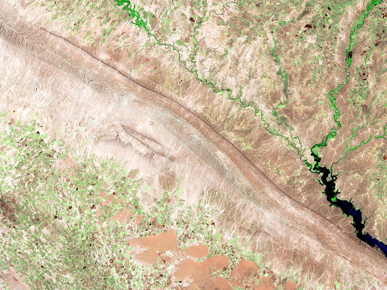

before
after

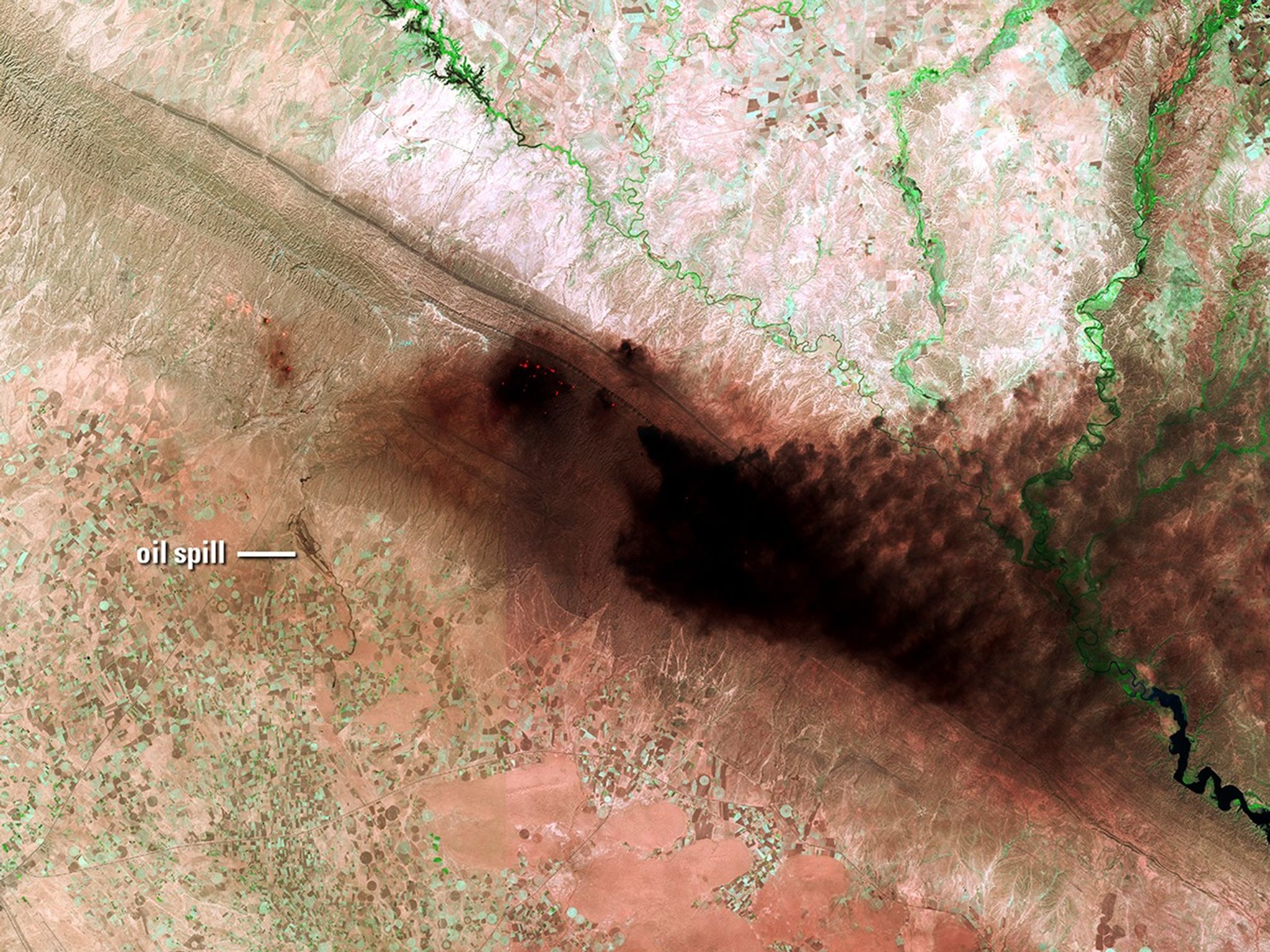
Before and After
Oil well fire in Iraq
June 18, 2014 - Sept. 29, 2017
These images show the Hamrin Mountains in northern Iraq before and during an oil well fire. To the left of the thick, dark smoke in the 2017 image, an oil spill is visible flowing over valley agricultural land for about 7 miles (11 kilometers). 2014 image taken by Landsat 8; 2017 image taken by Sentinel-2A. Source: USGS Land Remote Sensing Image Collections.


