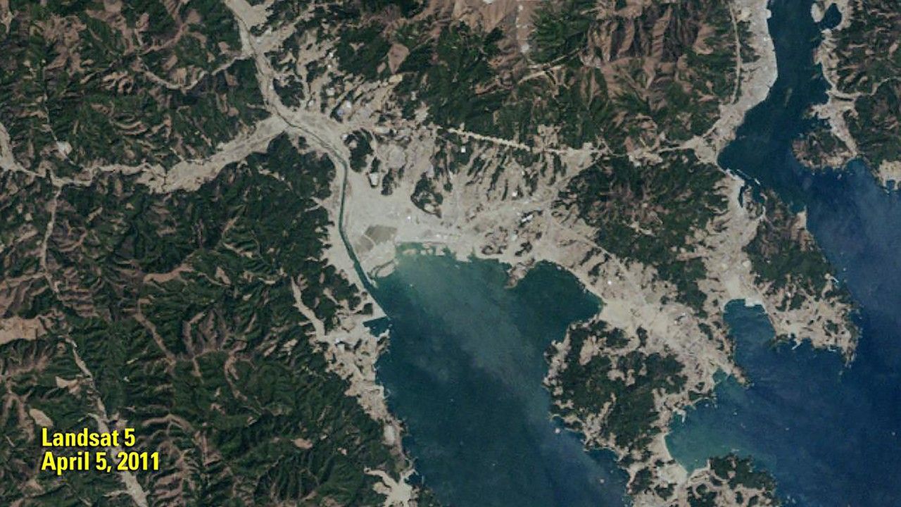
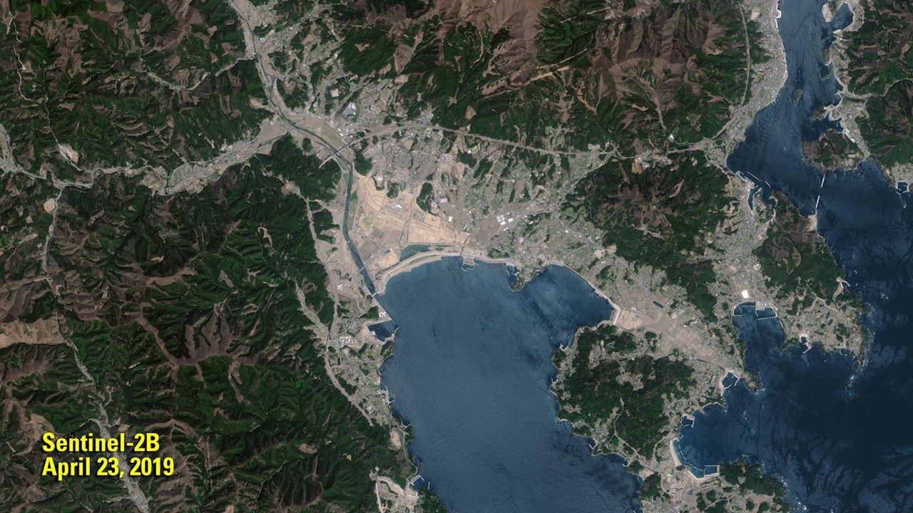
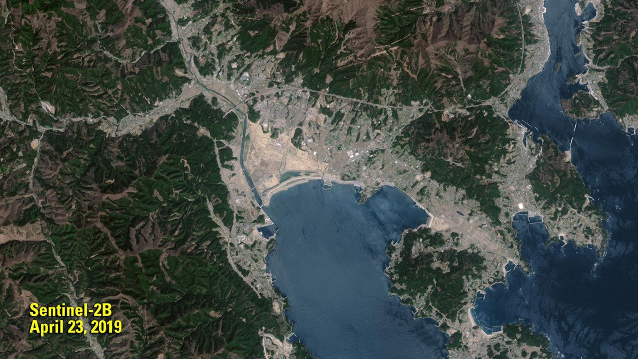
Suggested Searches

1 min read

Sea Wall Shields Japanese Town of Rikuzentakata

before
after
The 2011 image shows the remains of the Japanese town of Rikuzentakata (gray area in center) less than a month after a devastating tsunami. In the 2019 image, a sea wall, 41 feet (12.5 meters) high, stands between the town and Hirota Bay as a shield against future tsunamis.   The 2011 image was taken by Landsat 5. The 2019 image was taken by ESA's Sentinel-2B satellite. Source: U.S. Geological Survey’s National Land Imaging Image Collections

Before and After

Sea Wall Shields Japanese Town of Rikuzentakata

April 5, 2011 - April 23, 2019

The 2011 image shows the remains of the Japanese town of Rikuzentakata (gray area in center) less than a month after a devastating tsunami. In the 2019 image, a sea wall, 41 feet (12.5 meters) high, stands between the town and Hirota Bay as a shield against future tsunamis. The 2011 image was taken by Landsat 5. The 2019 image was taken by ESA's Sentinel-2B satellite. Source: U.S. Geological Survey’s National Land Imaging Image Collections

Downloads

Image 1

JPEG

(1 MB)

Image 2

JPEG

(2 MB)