Human Health
Landsat tracks urban heat, algal blooms, disease vectors, and other threats to human health.
Landsat’s Role in Protecting Human Health
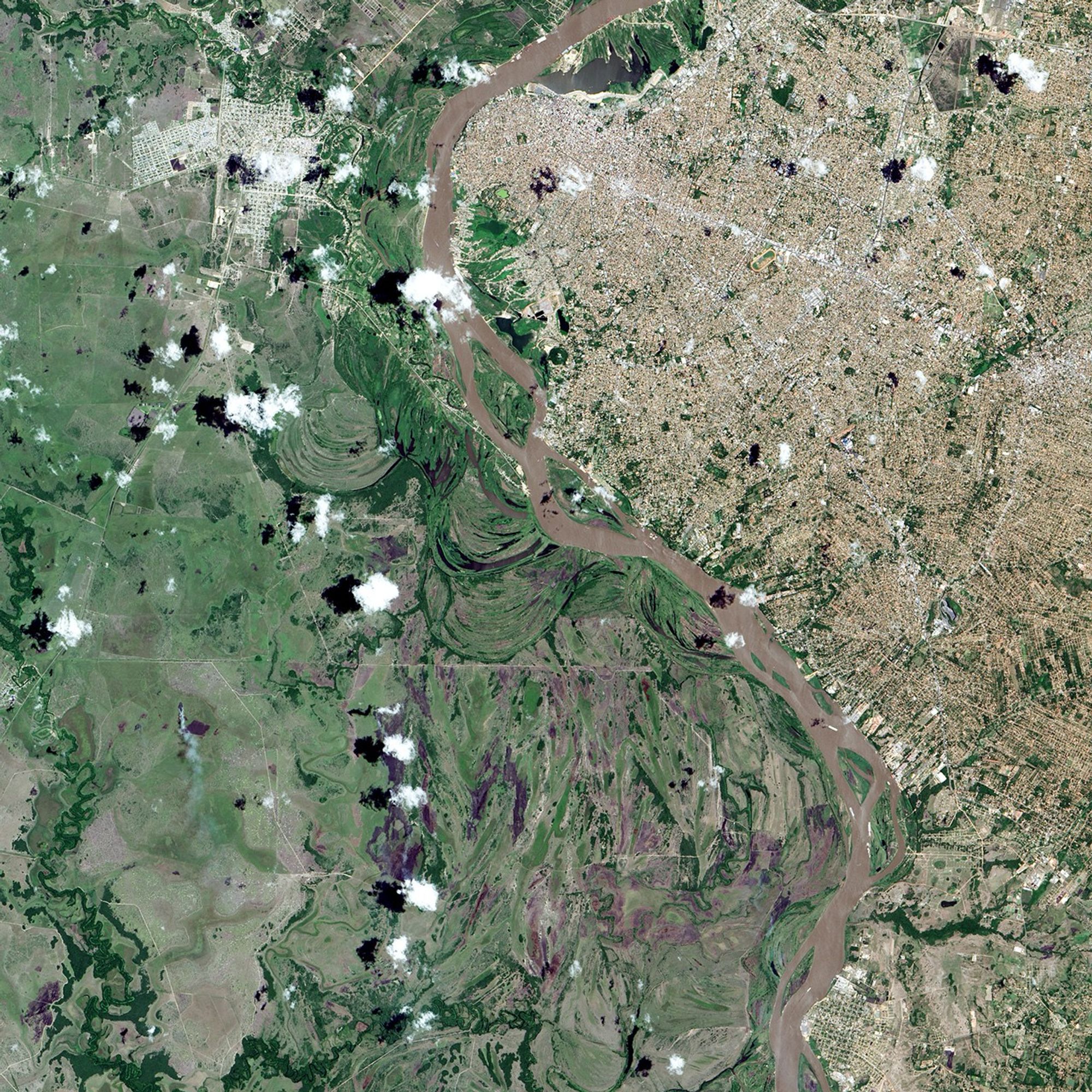
People have long recognized the connection between the environment and human health. Various animal and insect species from mice to mosquitoes serve as vectors that can transmit disease pathogens to people. Malaria is among the most deadly, preventable vector-borne diseases. About half of the world’s population (3.3 billion people) is at risk of contracting malaria from mosquitoes, according to the World Health Organization. Other human health problems such as cancer arise from exposure to pollutants in the environment. Finally, malnutrition can follow crop-destroying natural disasters such as drought or floods in poor regions. Landsat measurements can help decision makers pinpoint and minimize environmental health risks. With a spatial resolution of 30 meters, Landsat is well suited to mapping various components of changing landscapes, including agriculture and urbanization, that might pollute waterways. This level of detail can also show where water has accumulated in depressions to become breeding grounds for disease-carrying insect vectors. Landsat measures reflected light in both visible wavelengths and infrared wavelengths. This combination of measurements helps scientists gauge how healthy vegetation is, since growing plants generally absorb red light and reflect infrared light. Knowing the health of plants informs decision makers about cropland productivity and habitat conditions for disease-carrying insects and animals.
Landsat Data for Local and Global Decision-making
- Mapping and predicting vector-borne diseases
- Protecting food sources
- Understanding the impact of green space exposure
Remote Sensing to Help Map Disease
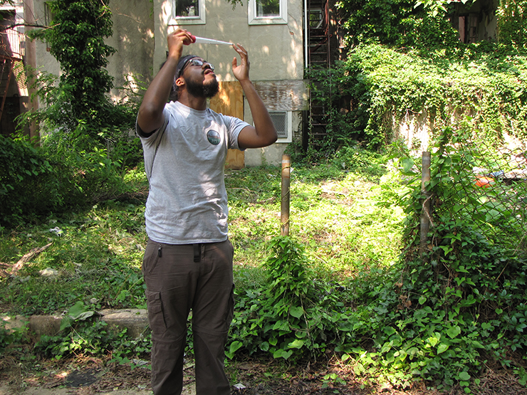
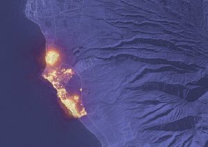
From the vantage point of space, scientists can identify key habitats for disease-carrying animals and insects. Landsat’s 30-meter resolution reveals aquatic mosquito habitats in malaria-stricken areas and pockets of moist vegetation in arid areas where hantavirus-carrying rodents may live. This information allows health officials to take preventative measures such as spraying pesticide to control larval populations. Scientists combine 30-meter Landsat data with less detailed daily satellite data of weather and vegetation to identify conditions conducive to disease outbreaks before an outbreak occurs. Other vector-borne diseases whose habitats can be monitored by Landsat include Rift Valley Fever, Lyme disease, and dengue fever.
Protecting Food Sources
For many decades, agricultural agencies have estimated global crop production to stabilize agricultural commodity prices and guarantee food security. Landsat’s measurements of reflected light and emitted energy help crop analysts and farmers identify crops that are infested with disease or pests, which in turn has helped farmers manage crops and provide safe food to consumers. Landsat data has also been used to estimate mercury loading in rivers and lakes, and protect anglers from consuming harmful levels of mercury in fish.
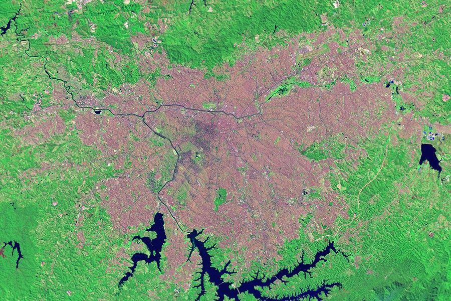
Understanding the Impact of Green Space
Landsat data have been used in a number of epidemiological studies documenting a positive connection between green space and mental and physical health. The relatively high spatial resolution of Landsat data and its long data archive have made a number of retrospective environmental health studies possible.
Related Resources
- Climate, Health and the Maasai landsat.gsfc.nasa.gov/article/the-maasai/
- Keeping a Dry Eye on Drought in East Africa landsat.gsfc.nasa.gov/article/africa-drought
- Green Space is Good for Mental Health, Landsat Helps Establish landsat.gsfc.nasa.gov/article/green-space
Latest News
With Landsat Next’s 26 new spectral bands, we’ll be able to see our planet like never before. Landsat Next’s enhanced…
As any urban dweller who has lived through a heat wave knows, a shady tree can make all the difference.…
In the FY23 Aeronautics and Space Report released on May 23, 2024, a multitude of Federal agencies report work informed…