


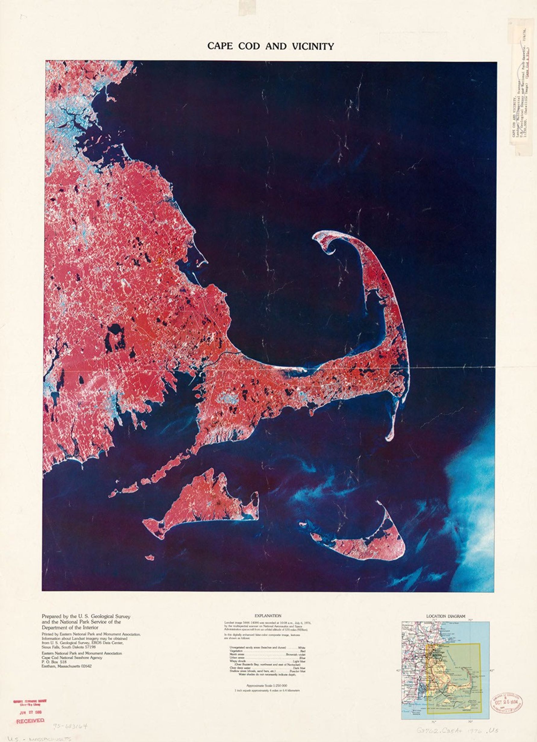
Cape Cod and Vicinity
This false-color composite satellite image was produced by the U.S. Geological Survey and National Park Service in 1976. Captured by Landsat's multispectral scanner on July 6, 1976, from an altitude of 570 miles, the visualization highlights Cape Cod's distinctive curved peninsula, with vegetation appearing in red tones and water bodies in dark blue, revealing the unique coastal geography of southeastern Massachusetts.
Image Credit: USGS
- X
https://science.nasa.gov/image-detail/amf-a0ac0816-88bf-48a8-9baa-9475a527a1ff/
Image CreditUSGS
Size1783x2463px
