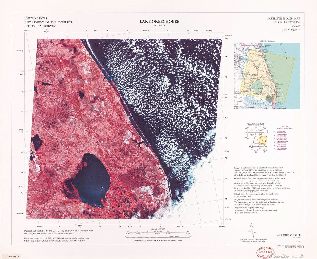
Lake Okeechobee
This satellite image map was created by the U.S. Geological Survey in cooperation with NASA using LANDSAT-1 data recorded on November 29, 1973. Published in 1977 at a scale of 1:500,000, this experimental printing uses false-color processing where vegetation appears in shades of red, water bodies in dark blue to black, and clouds as white patches. The visualization clearly shows Florida's largest freshwater lake and surrounding agricultural landscape, highlighting the distinct boundary between land and water in south-central Florida.
Image Credit: USGS
- X
https://science.nasa.gov/image-detail/amf-a53b27d5-fbc1-4aa9-9ed1-66f598cf1619/
Image CreditUSGS
Size1870x1529px