


SOM_projection
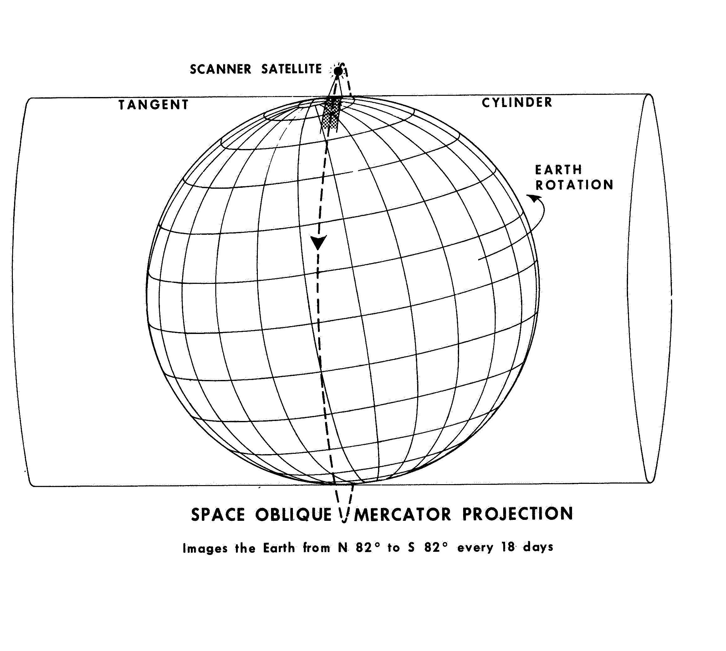
Diagram illustrating the Space Oblique Mercator projection used for satellite imagery. A globe with latitude/longitude grid is shown inside a cylindrical projection surface with a scanner satellite at the top. A dashed line indicates the satellite's ground track across Earth. Text notes that this projection images Earth from N 82° to S 82° every 18 days.
Image Credit: NASA
- X
https://science.nasa.gov/image-detail/amf-1dd83074-9f2e-4eea-b685-dd08343c0dba/
Image CreditNASA
Size2320x2080px