


Description
Map Projected Browse Image
Click on the image for larger version
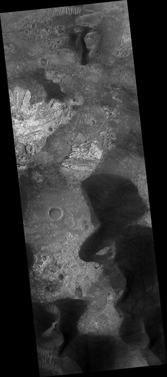
This enhanced-color image shows a patch of well-exposed bedrock on the floor of Kaiser Crater.
The wind has stripped off the overlying soil, and created grooves and scallops in the bedrock. The narrow linear ridges are fractures that have been indurated, probably by precipitation of cementing minerals from groundwater flow. The rippled dark blue patches consist of sand.
The map is projected here at a scale of 25 centimeters (9.8 inches) per pixel. [The original image scale is 25.3 centimeters (9.9 inches) per pixel (with 1 x 1 binning); objects on the order of 76 centimeters (29.9 inches) across are resolved.] North is up.
This is a stereo pair with ESP_012516_1330.
The University of Arizona, Tucson, operates HiRISE, which was built by Ball Aerospace & Technologies Corp., Boulder, Colo. NASA's Jet Propulsion Laboratory, a division of Caltech in Pasadena, California, manages the Mars Reconnaissance Orbiter Project for NASA's Science Mission Directorate, Washington.


