


Artificial Intelligence for Science
The Office of the Chief Science Data Officer (OCSDO) within NASA's Science Mission Directorate (SMD) researches how AI can help people use NASA's science data more effectively. Current projects include AI foundation models, which are trained on vast amounts of data and can be adapted to specific science studies with minimal resources, and large language models for enhancing different steps of research and data lifecycles.
ai for science data Strategy
AI foundation models
Large language model
AI for Science Focus Areas
-
01
Prediction and Forecasting
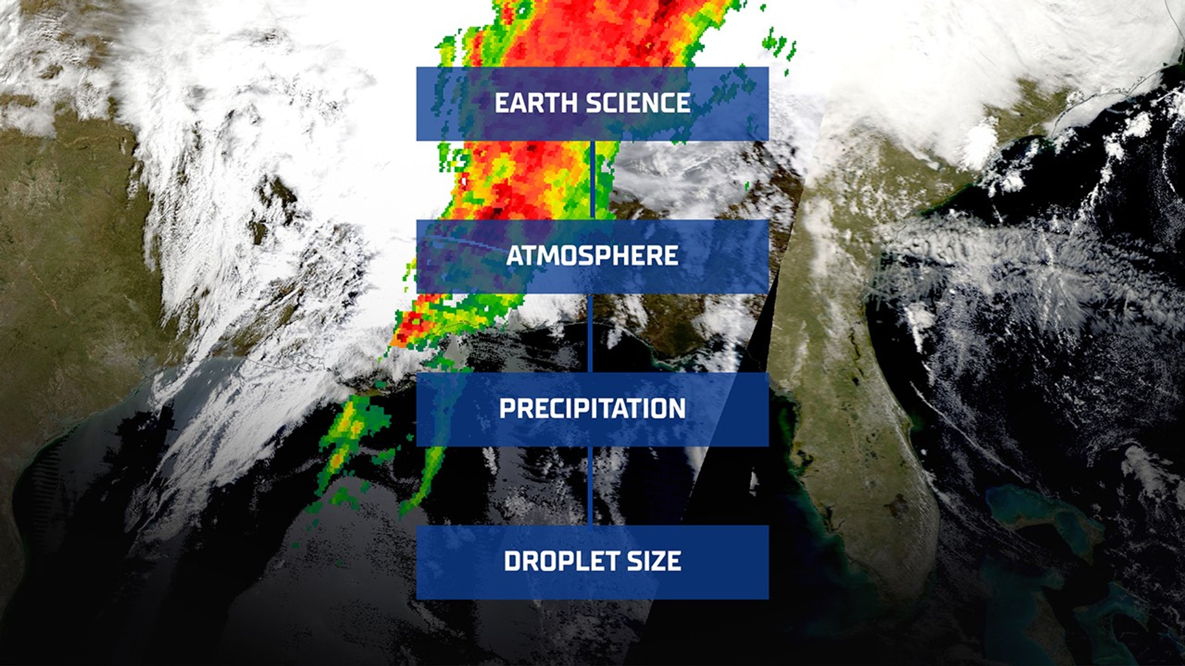
Develop data driven predictive modeling and simulation to allow scientists to forecast phenomena such as weather, space weather, and cosmic events.
-
02
Open Science
Streamline scientific workflows by improving data search, discovery, analysis, and visualization, thus enhancing research efficiency and promoting open science practices.
-
03
Collaboration Across Sciences
Facilitate broader scientific collaboration by integrating and analyzing data from diverse sources and missions, and overcome siloed mission science to move towards systems science.
-
04
Infrastructure
Establish and maintain a secure, scalable AI infrastructure to support model development and deployment within NASA's operational systems.

AI for Science Stories and Events
Learn about the latest AI research for making the most of science data.

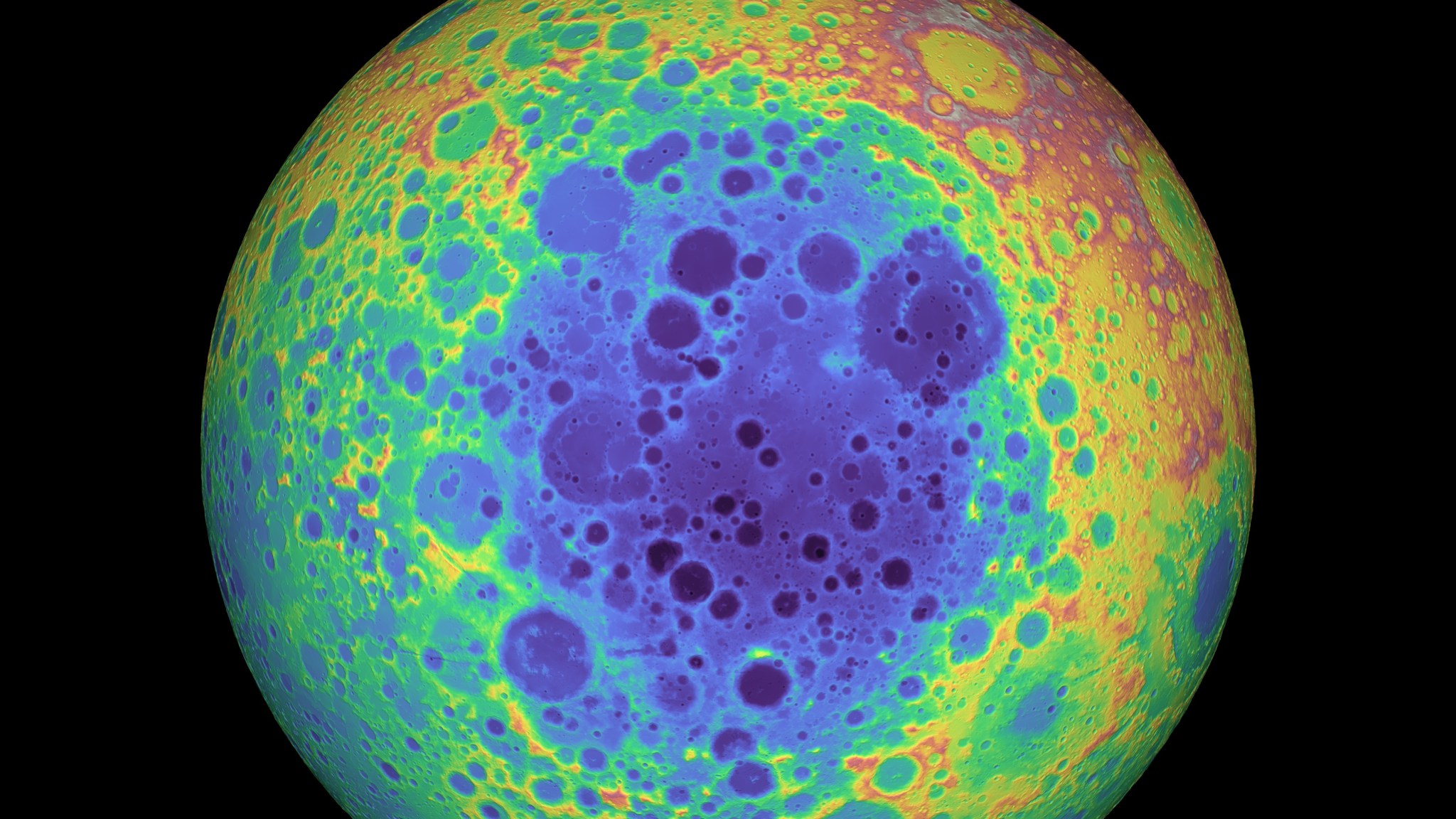
NASA's Prithvi Becomes First AI Geospatial Foundation Model In Orbit
A team of researchers demonstrated NASA and IBM’s open-source Prithvi Geospatial AI foundation model aboard two in-orbit platforms.

OCSDO Releases Year in Review 2025 Newsletter
The Office of the Chief Science Data Officer (OCSDO) shared its annual accomplishments in promoting NASA science data discovery and innovation.

NASA, IBM’s ‘Hot’ New AI Model Unlocks Secrets of Sun
A NASA team collaborated with IBM to create an AI foundation model that uses NASA data to help predict solar flares.
Smarter Searching: NASA AI Makes Science Data Easier to Find
NASA’s newly upgraded GCMD Keyword Recommender (GKR) is solving how to make complex, sprawling science data findable.
Artificial Intelligence Science Data Projects
-
Surya Heliophysics Foundation Model
The Surya Heliophysics Foundation Model, pre-trained on 9 years of observations from NASA’s Solar Dynamics Observatory, helps scientists monitor solar eruptions and predict space weather that threatens satellites, power grids, and communication systems. The model is released openly on the Hugging Face platform.
-
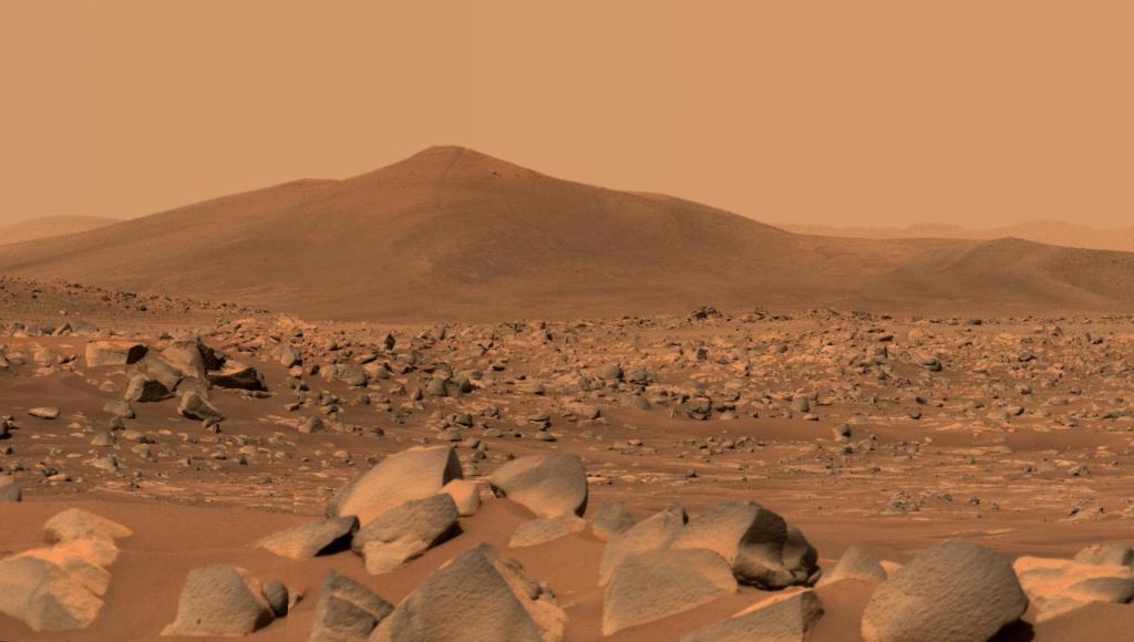
Prithvi Geospatial Foundation Model
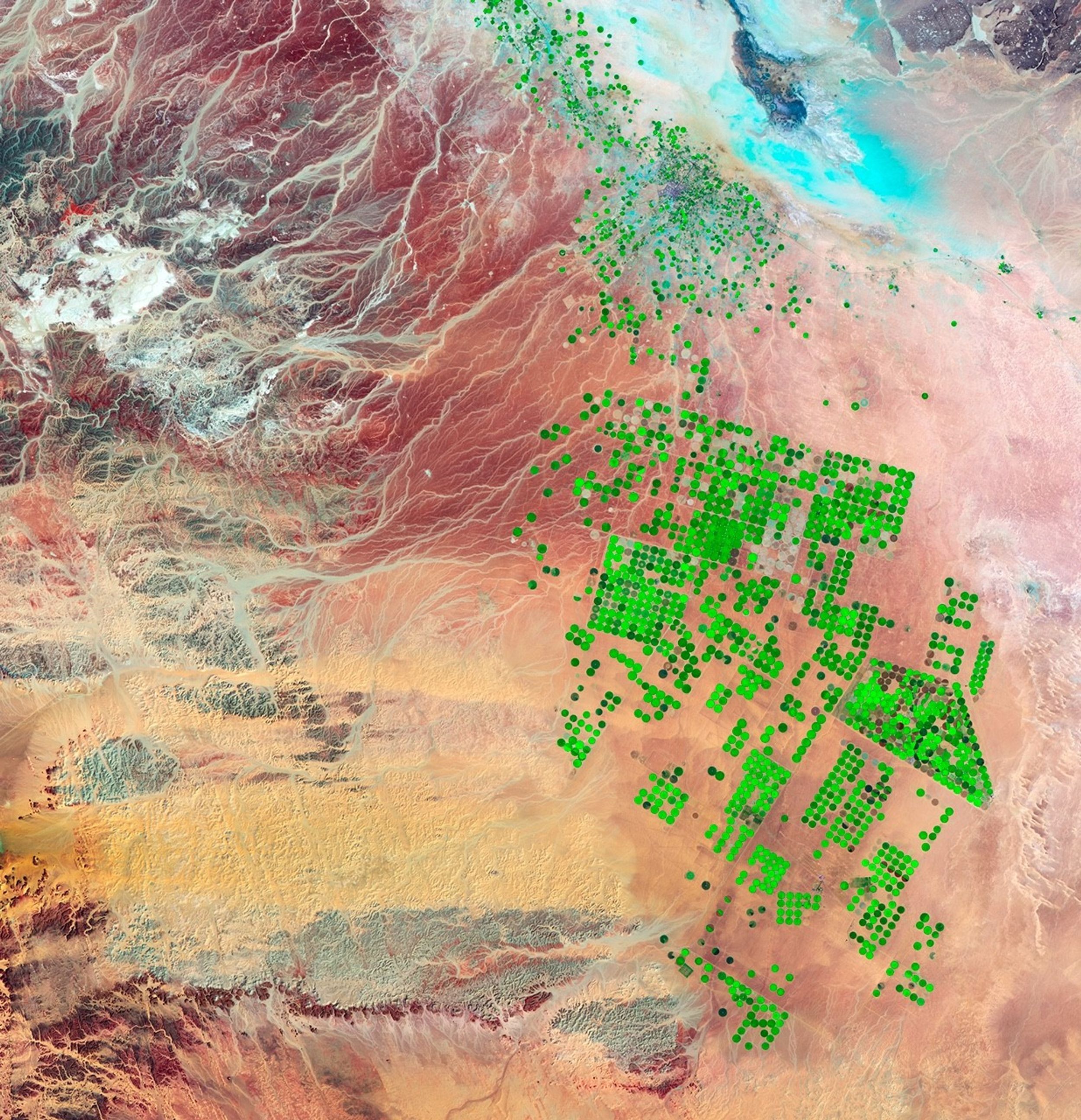
Pre-trained on Harmonized Landsat and Sentinel-2 (HLS) satellite data, the Prithvi Geospatial Foundation Model helps Earth science researchers conduct AI-powered studies such as flood mapping, fire-scar identification, and crop classification. The model is released openly on the Hugging Face platform.
-
Prithvi Weather and Climate Foundation Model
The Prithvi Weather-Climate Foundation Model enables Earth science projects like hurricane tracking, severe weather risk mapping, and renewable energy forecasting. It is pre-trained on Modern-Era Retrospective analysis for Research and Applications, Version 2 (MERRA2) satellite data. The model is released openly on the Hugging Face platform.
-
INDUS Large Language Models
Named for the southern sky constellation, INDUS (stylized in all caps) is a suite of large language models tailored for astrophysics, biological and physical sciences, Earth science, heliophysics, and planetary science. The model is released openly on the Hugging Face platform.

Office of the Chief Science Data Officer
The Office of the Chief Science Data Officer (OCSDO) within NASA's Science Mission Directorate (SMD) facilitates AI for science data through its Data Science Innovation program.
Learn More

Explore More AI at NASA
NASA uses artificial intelligence for a wide variety of applications to plan missions, analyze science data, and explore our universe.
Learn More about Explore More AI at NASA