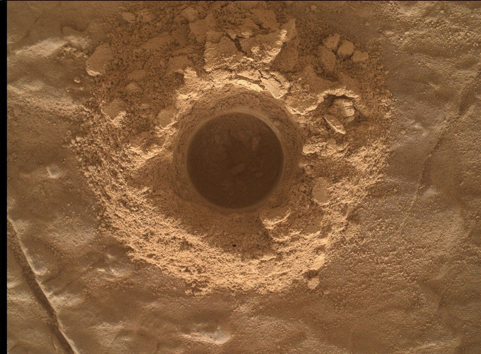
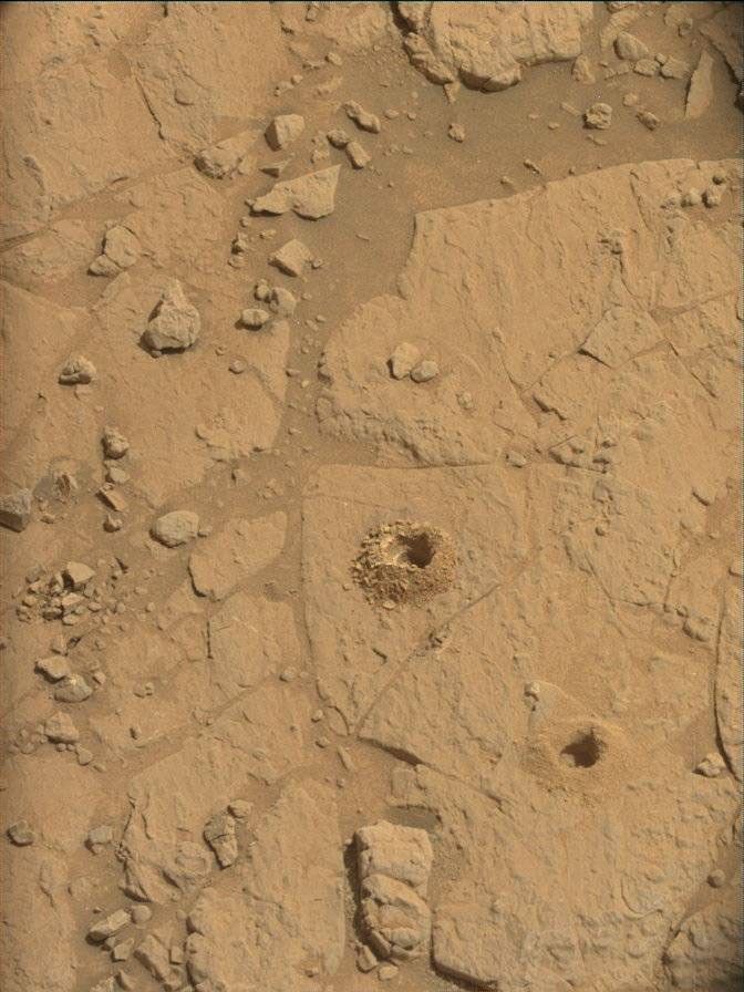
As predicted, we didn't receive enough data through MRO today to allow us to plan another drive. So while we wait for the images taken after the Sol 24 drive to arrive, we planned a bunch of images to be taken on Sol 25. I was MAHLI/MARDI Payload Uplink Lead 1 today, which means that my job was to focus on how best to use the Mars Hand-Lens Imager (MAHLI) and the Mars Descent Imager (MARDI) cameras. MAHLI is on the end of the instrument arm, which has not been checked out on Mars yet, so we can't use that camera yet. And you might expect that MARDI won't be used again because MSL already descended to the surface of Mars on August 5th. Well, it turns out that MARDI can still take useful pictures of Mars, looking straight down at the surface just behind the left front wheel of MSL. Eventually we hope to use MARDI to take images as MSL drives, but that won't be possible until the next version of the rover's software is uploaded and installed. In the meantime, we are taking a single MARDI image at each place the rover stops. So my job today was to find the best time to take such an image. The rover planners (drivers) didn't have much to do today, so I asked Matt Heverly, the rover mobility lead, to help me figure out whether this image would be in shadow or sunlight. We had received enough data through MRO to know that the Sol 14 drive went well, and that the rover heading was WSW (116.5 degrees azimuth relative to north). Using this information, Matt modeled the shadow of the rover in the fancy software the rover planners use to build drive and arm sequences, developed at JPL. We had planned a MARDI image on the afternoon of Sol 24 when the surface under the camera was fully shadowed, but didn't know whether it was successfully acquired because it was taken after MRO flew over MSL and received a burst of data from the rover. I thought that it would be interesting to see what the surface looks like when fully illuminated by the sun, and Matt's modeling showed that the surface would be in sunlight after 4:02 PM. Before that time, the rover would shadow the surface, but later the sunlight would pass under the rover for about an hour before sunset. So I suggested adding this observation to the plan at low priority, and the Geology theme lead agreed to include it. Because it didn't conflict with any other suggestions from the science team, it was included in the final plan that was submitted to the second-shift uplink planning team! So my work paid off and I look forward to seeing both the shadowed and sunlit images of the same spot. Comparing them will help us decide whether to take future MARDI images in sunlight or shadow.
Ken
Written by Ken Herkenhoff, Planetary Geologist at USGS Astrogeology Science Center


