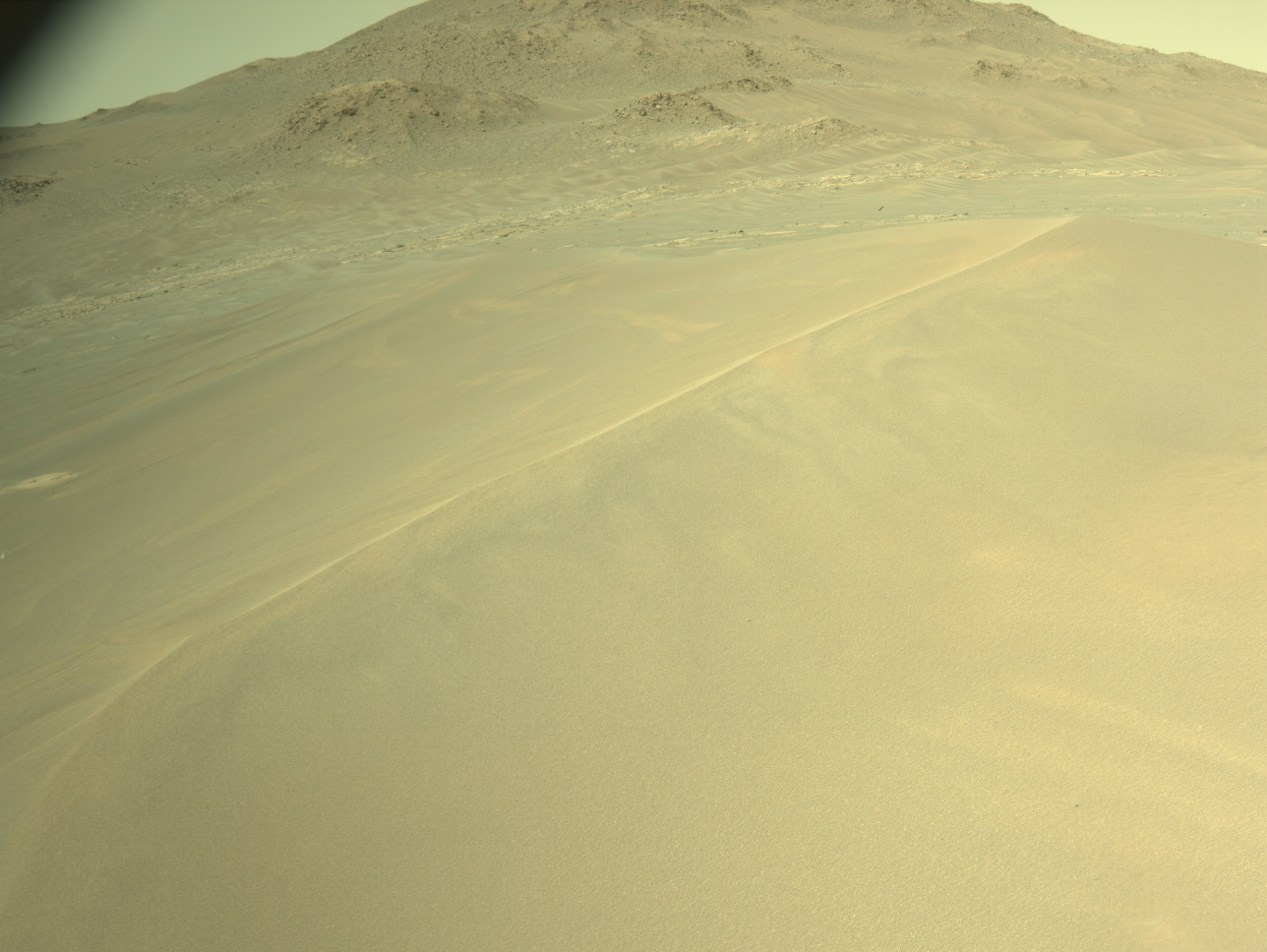
The drive went as planned, and left MSL next to a
nice outcrop During the drive the DAN instrument monitored neutrons coming up from the
subsurface and noticed significant variations along the way. It's not
known (at least to me) what causes these variations, but possibilities
include hydrated minerals, water ice (unlikely?), and density variations.
Another drive is planned for Sol 39 (about 20 meters this time), so a bunch
of images of the outcrop were planned before the drive. Unfortunately, we
aren't expecting to get much data through the orbiters tomorrow, so we
probably won't see these images for a while. Worse, we may not get enough
Navcam images after the Sol 39 drive to plan more observations in the new
location. The amount of data that can be relayed to the orbiters depends
on how high in the sky they pass over MSL, which varies a lot day to day.
In addition the Mars Reconnaissance Orbiter (MRO) is turning instruments
back on, which may interfere with MSL radio communications. Therefore,
telemetry rates are set low to ensure that we get at least some data while
characterizing the radio link with the instruments turned on. Most of
MRO's instruments were off during MSL landing to maximize the amount of
data that could be relayed from MSL. The instruments are resuming
scientific data collection after the hiatus for MSL.
Written by Ken Herkenhoff, Planetary Geologist at USGS Astrogeology Science Center


