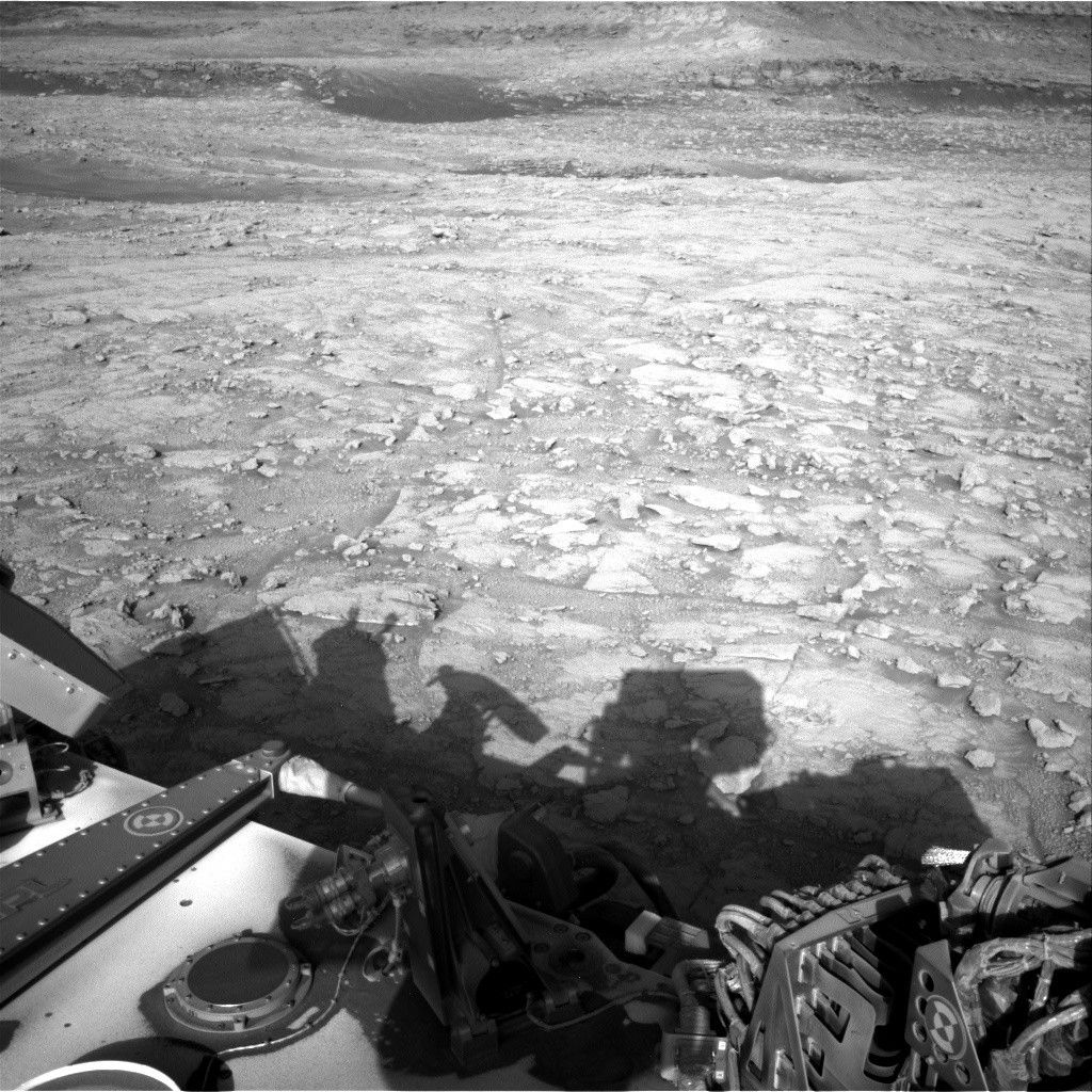
The drive on sol 1072 was successful, with a total distancetravelled of about 35 meters.
The drive on sol 1072 was successful, with a total distance
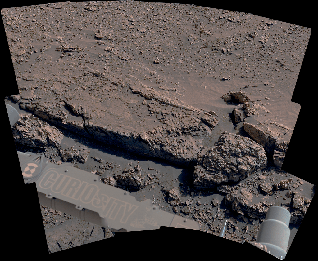
travelled of about 35 meters. For sol 1073, Mastcam will be very busy taking
pictures to document the geology in our new location. We are planning a 31x1
mosaic of the outcrop in Marias Pass, plus a 13x3 mosaic of "Mt. Shields" (not
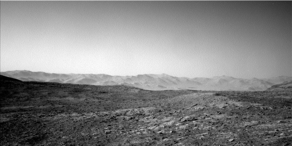
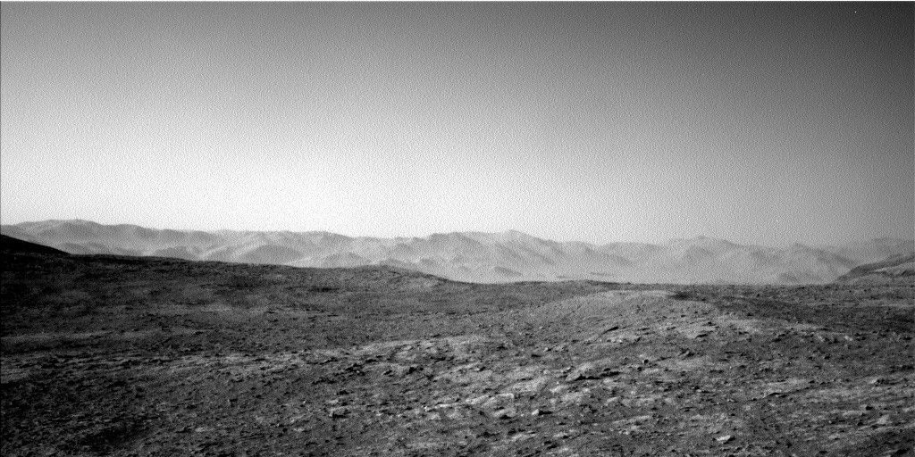
to be confused with Mt. Sharp!) and a 10x3 stereo mosaic of "Gunton". Navcam
also has 8 frames of atmospheric observations of the horizon to the north. Once
we are done taking pictures, the plan is to drive for another ~40 meters.
After the drive, we will do our normal post-drive imaging so
that we can plan activities for tomorrow, plus an "active" measurement with DAN
(meaning that the instrument will produce neutrons to help detect hydrogen in
the subsurface, rather than relying on natural background neutrons). The plan
also includes some early morning Navcam and Mastcam atmospheric observations on
sol 1074.
I’m on duty as science Payload Uplink Lead (sPUL) for
ChemCam tomorrow, so I’m hoping we will have some time to zap some targets
before we continue driving! By Ryan Anderson -Ryan is a planetary scientist at the USGS Astrogeology Science Center and a member of the ChemCam team on MSL. Dates of planned rover activities described in these reports are subject to change due to a variety of factors related to the Martian environment, communication relays and rover status.
Written by Ryan Anderson, Planetary Geologist at USGS Astrogeology Science Center


