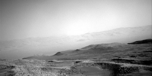
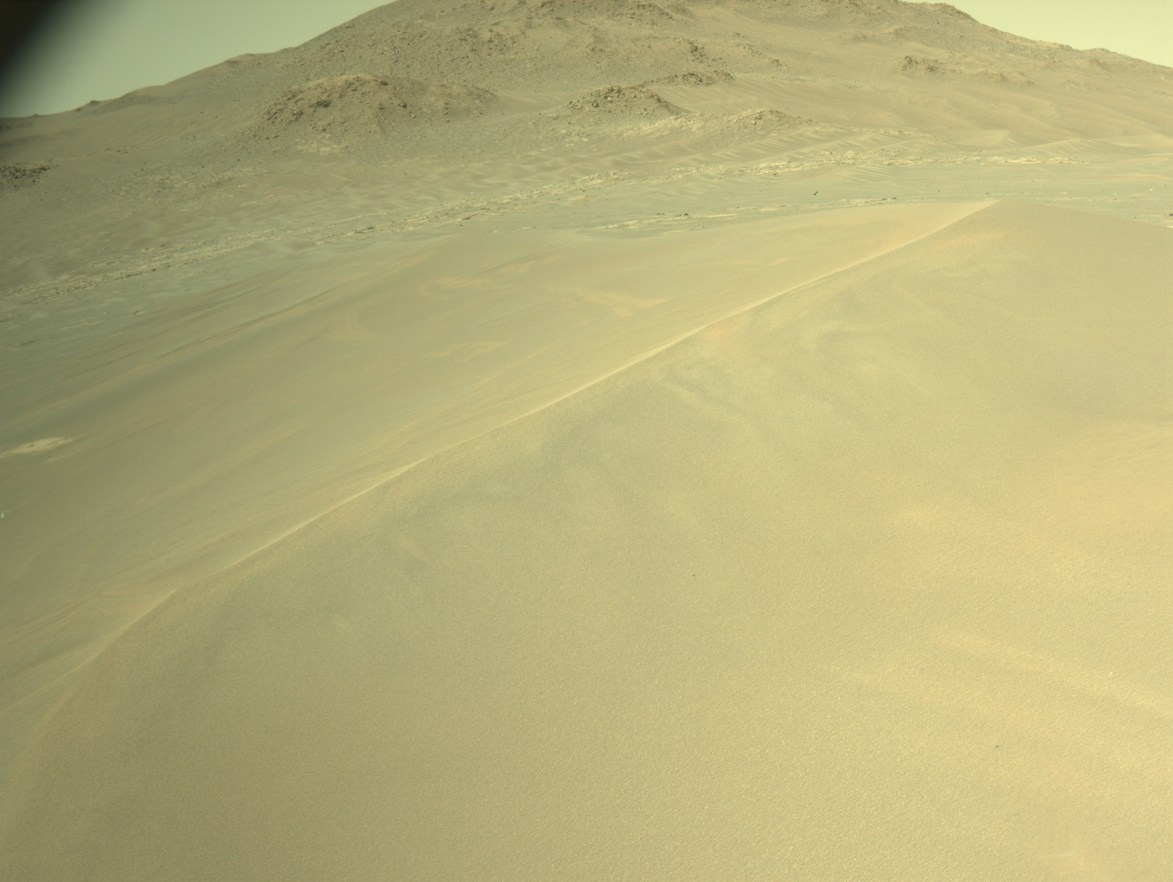
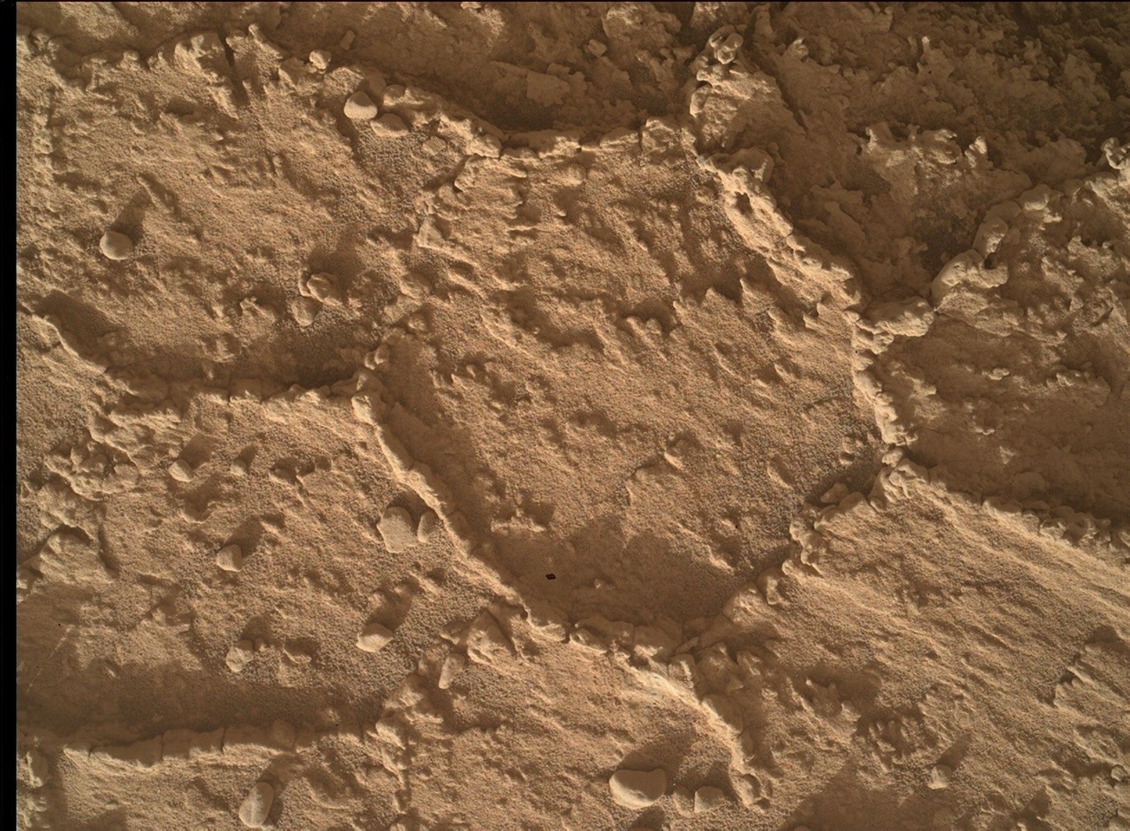
MSL drove almost 30 meters on Sol 1576, stopping in a location with a nice exposure of bedrock in the arm workspace.
MAHLI's optics look clean, so we planned a full suite of MAHLI images
and a short APXS integration on a bedrock target named "Mansell
Mountain." Fitting the remote sensing observations we wanted, along
with the contact science and a ~46-meter drive, into the Sol 1577 plan
was a challenge. But the tactical team did a great job, working
together to put together an excellent plan. After the contact science
is completed, ChemCam and Right Mastcam will observe an odd cobble
called "Ames Knob" and a bedrock target dubbed "Day Mountain." Left
Mastcam will acquire a 2-image mosaic of the bedrock slab in front of
the rover, and Right Mastcam will take an image of the Sol 1576 AEGIS
target and a 4x1 mosaic of a layered exposure named "Appleton Ridge."
After the drive and the post-drive imaging needed to plan Sol 1578
activities, Navcam will acquire a panorama and search for dust devils
and clouds. It's been a busy day for me as SOWG Chair!
by Ken Herkenhoff
Dates of planned rover activities described in these reports are subject to change due to a variety of factors related to the Martian environment, communication relays and rover status.
Written by Ken Herkenhoff, Planetary Geologist at USGS Astrogeology Science Center


