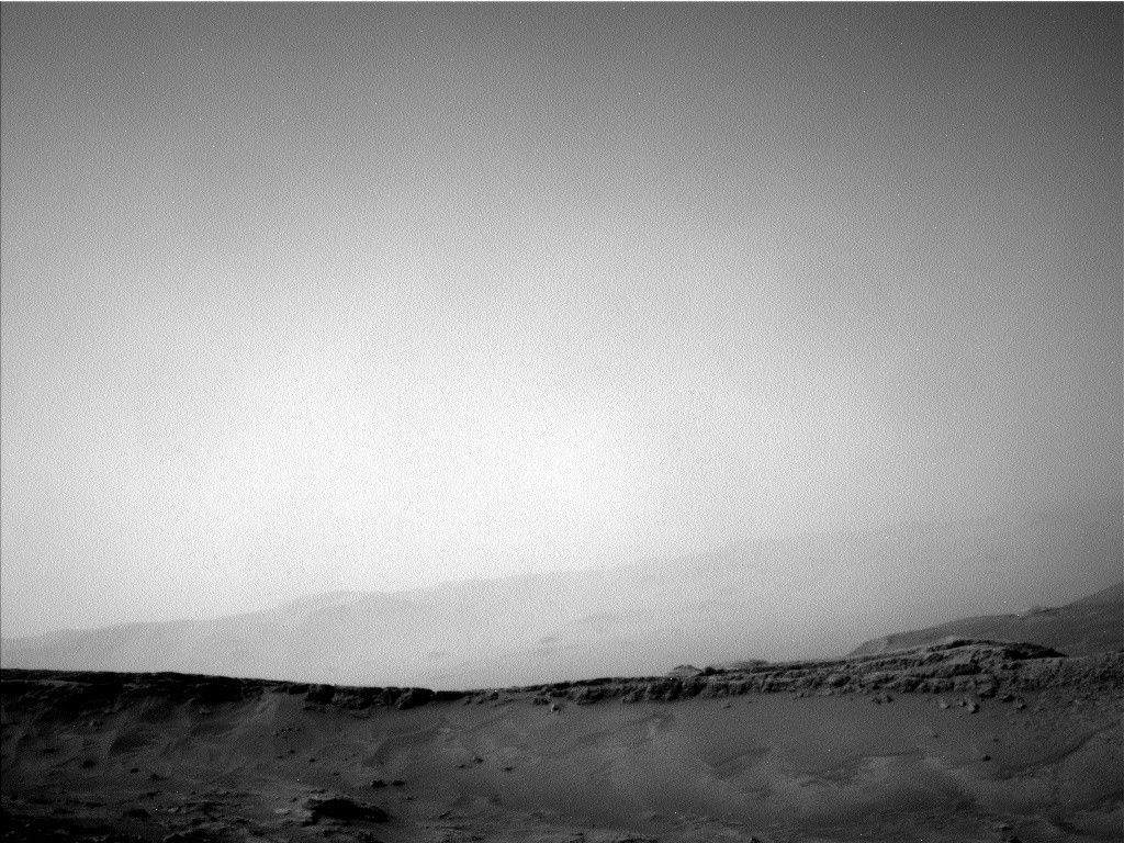
On Sol 1604 we wrapped up at the first stop of this secondphase of the Bagnold Dune campaign. The plan started off, as usual for the dunecampaign, with a pair of Mastcam images that were then repeated throughout theday to look for changes. ChemCam had an RMI of the target "Mapleton" and thenMastcam had a whole series of images of nearby sand formations. Once that wastaken care of, we decided to drive back toward Ireson Hill so that we can takea closer look at some of the geology there. The drive was about 55 meters,followed by post-drive imaging.
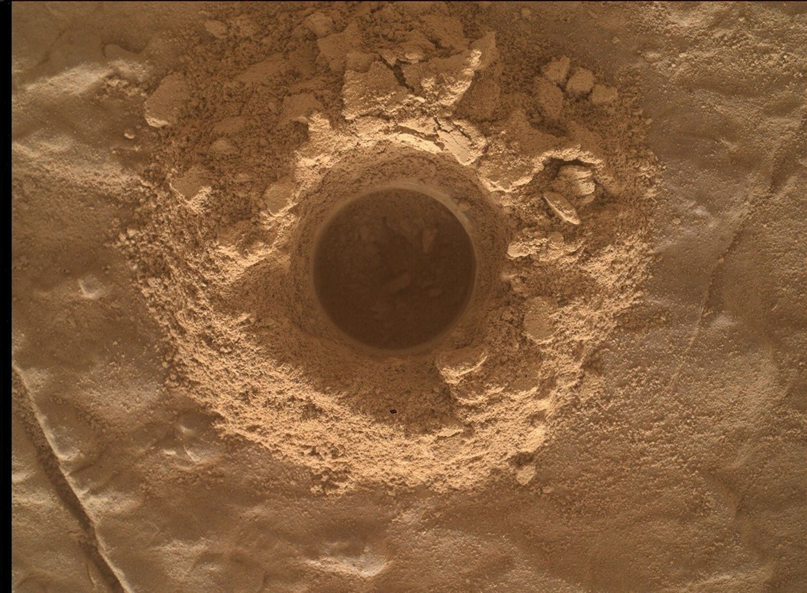
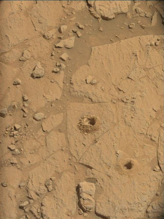
In the 1605 plan, ChemCam's laser is back in action with ananalysis of the target "Carys Mills". Mastcam will take a supporting image ofthe same target, as well as a small mosaic of the target "Calderwood". We willthen continue driving around the east side of Ireson hill toward our targets ofinterest, ending at a rock that may be part of the hill's capping layer.
by Ryan Anderson
-Ryan is a planetary scientist at the USGS Astrogeology Science Center and a member of the ChemCam team on MSL. Dates of planned rover activities described in these reports are subject to change due to a variety of factors related to the martian environment, communication relays and rover status
Written by Ryan Anderson, Planetary Geologist at USGS Astrogeology Science Center