


Planning rover science activities is a dynamic process.
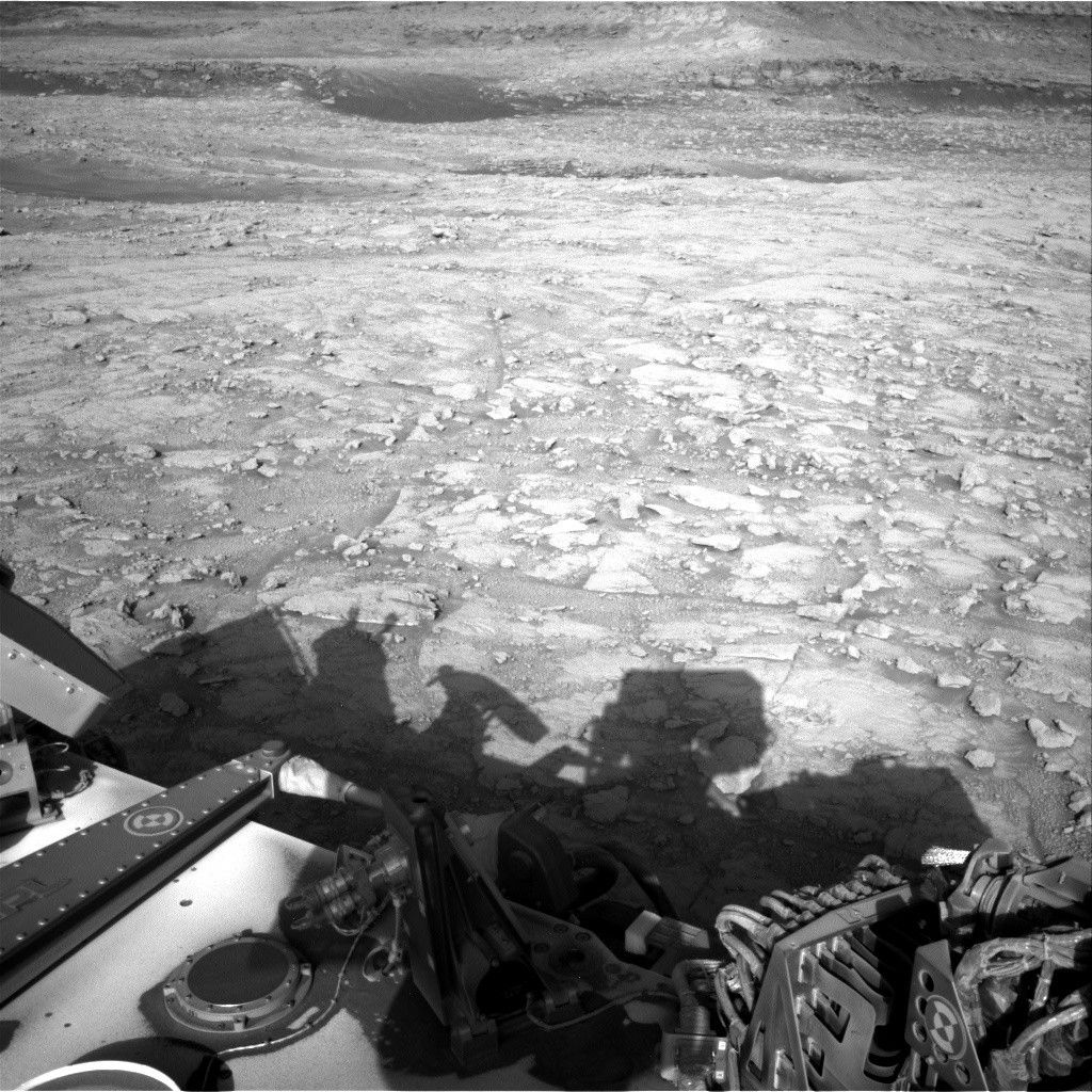
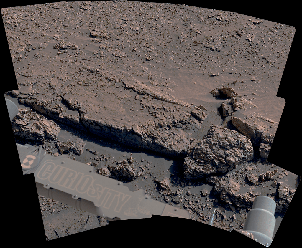
Planning rover science activities is a dynamic process. Unlike yestersol's plan, the Geology Theme Group decided to include an APXS and MAHLI "touch-and-go" in the plan, carrying out valuable contact science on the layered Murray bedrock. A touch-and-go, and in this case with a small APXS raster, is an option often available tactically to the Geology Theme Group that enables contact science to be carried out prior to a drive. Touch-and-go contact science activities, when appropriate, let the science team acquire the most information on a target without bringing a sample onboard the rover to instruments like CheMin and SAM. What makes these touch-and-go activities so valuable is that they have minimal impact to the drive distance for that day, allowing Curiosity to continue its ultimate goal of characterizing the geologic units of Mt. Sharp.
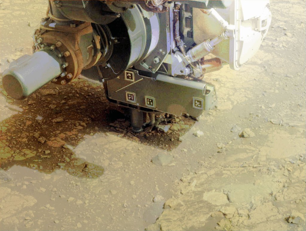
In this case, the APXS integration spots, dubbed "Harding Ledge" were also targeted with the ChemCam instrument to provide cross-correlation between the two instruments. Harding Ledge is a light toned, layered portion of the Murray bedrock. Some additional Mastcam documentation images were taken of the various targets in today's workspace to ensure proper context for the chemistry measurements is available for future investigations.
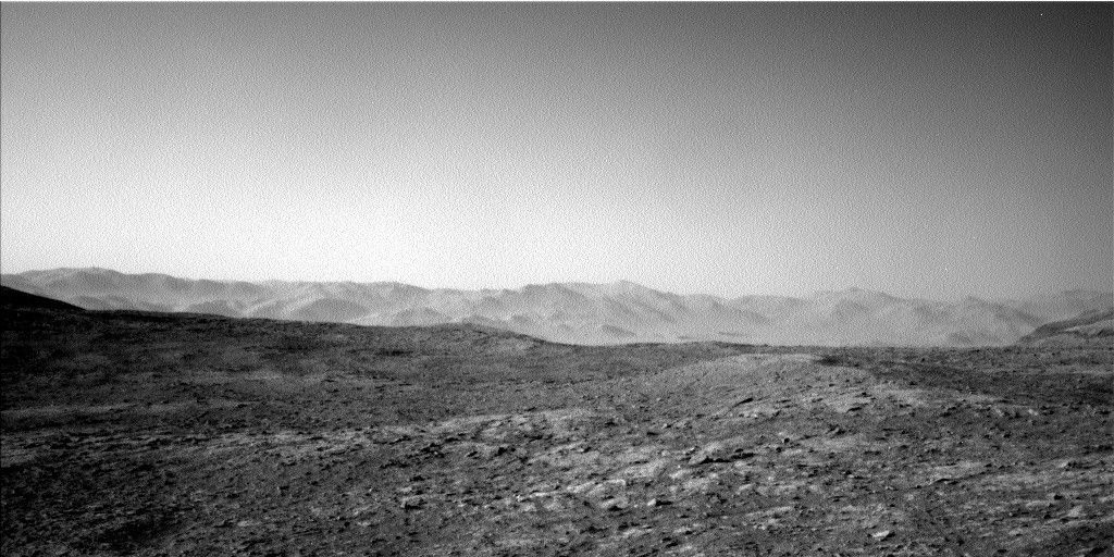
While yestersol's successful drive ended a bit prematurely due to the rough terrain the rover encountered, a new drive of ~20 meters is in the plan for today. At Curiosity's next parking spot before the sun sets, the rover will acquire a host of standard imaging to help with targeting in the next sol's plan.
Written by Christopher Edwards, Planetary Geologist at Northern Arizona University