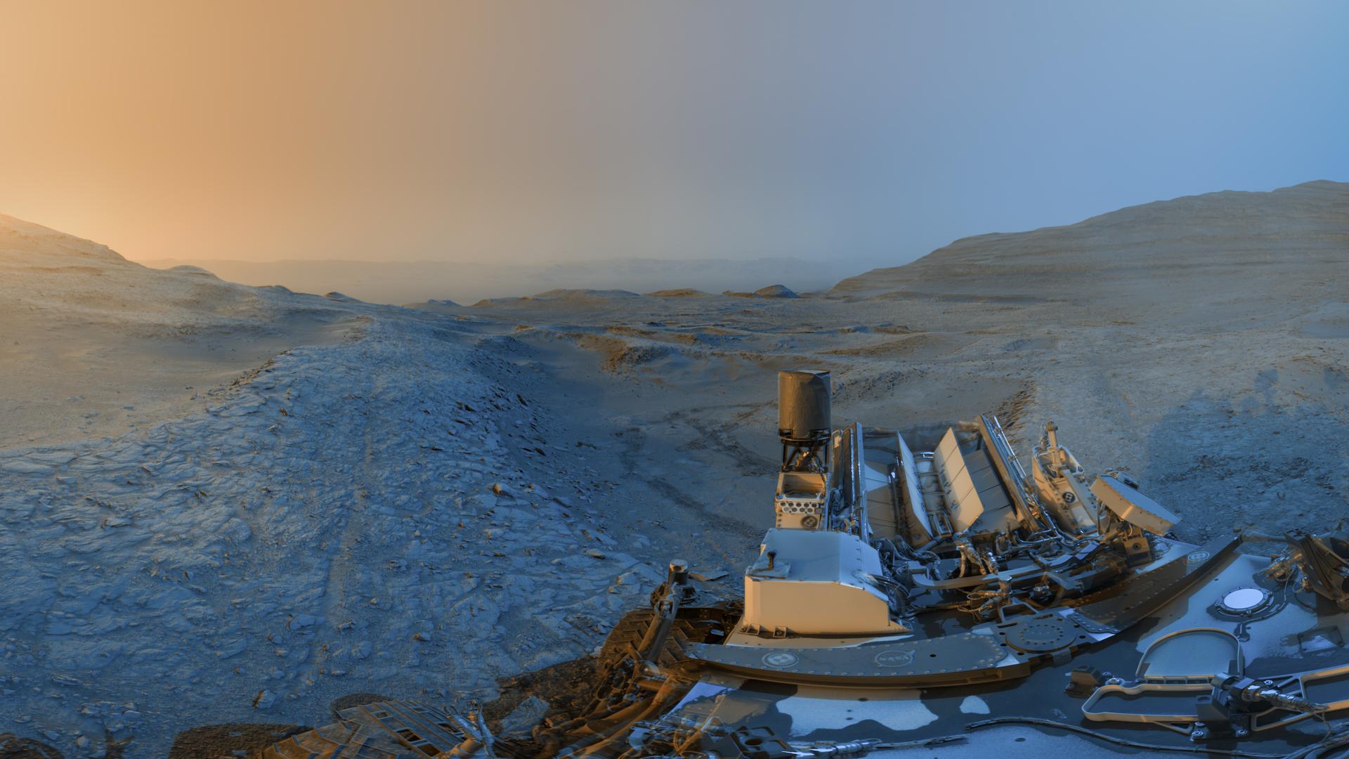
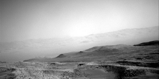
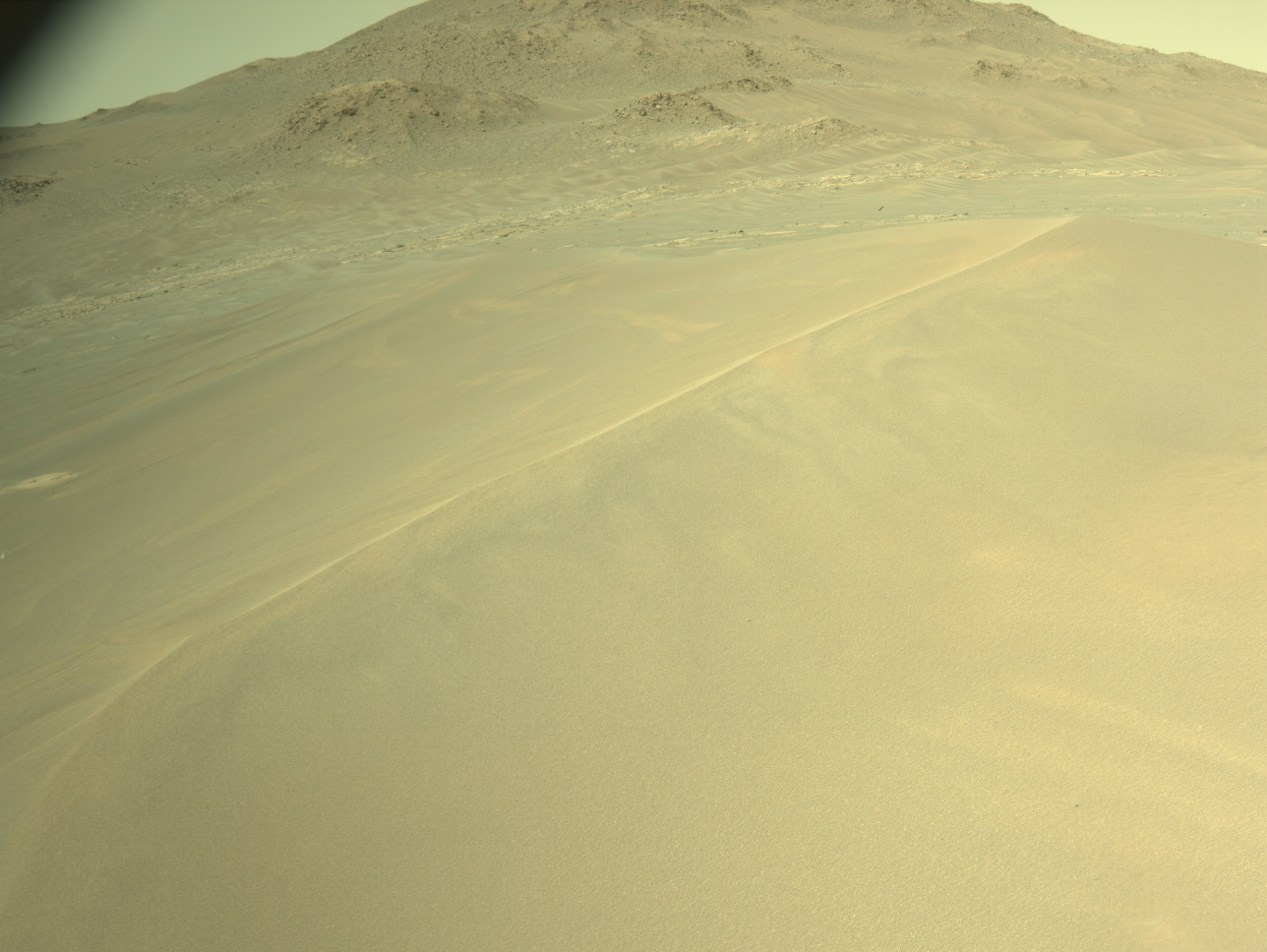
We have come to the end of our detour to image the "Bolivar" butte and are starting back to the MSAR (Mount Sharp Ascent Route). This plan provides the last chance to image Bolivar from this vantage point, with the aim of characterizing, so Mastcam is taking one final large mosaic of the butte, before we move on and it is blocked from our sight.
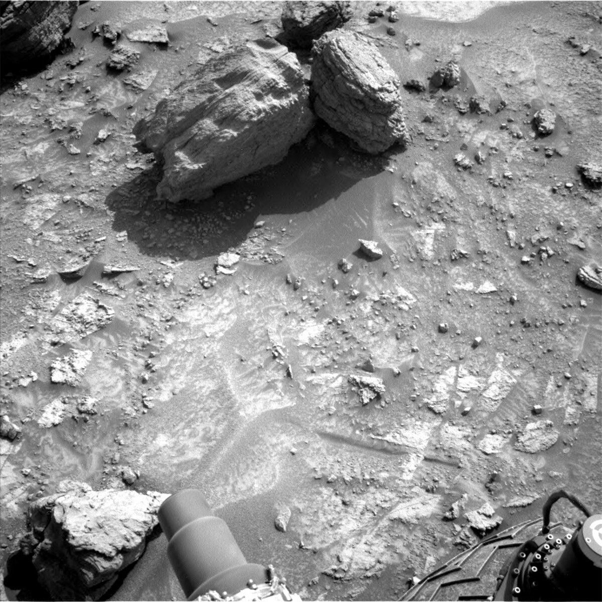
We cannot drive up the side of Bolivar (although that would be a wild ride!) to investigate its chemical composition, so we are analyzing float rocks in the workspace. “Float” rocks are loose rocks, lying on top of the local bedrock and are often from the surrounding area. As Bolivar is the highest point around here, we are working with the idea that the floats in our workspace have rolled down from this hill, and will analyze these in lieu of asking our rover to defy physics and climb up Bolivar.
MAHLI is imaging “Tumereng,” a float block directly in front of the rover, and Mastcam will image a larger float block “Muruwa” further away – both sets of images will look at sedimentary structures such as layering, and the MAHLI images may also give an indication of grain sizes. Mastcam will conduct multi-spectral imaging of the float block “Lagoa do Paraiso.” As multi-spectral imaging is routinely taken for brushed targets such as “Motocuruna” this past weekend, we can compare the results between previous bedrock targets and Lagoa do Paraiso, which can help characterize the float rock as either relatively similar to the underlying bedrock or as something more “exotic.”
ChemCam is using LIBS to analyze the bedrock target “Hororabo,” as part of its continuing bedrock monitoring – this target will also be imaged by Mastcam.
Once these science activities are complete, we drive onwards, leaving Bolivar behind for now – perhaps we will get another look as we continue our climb up Mount Sharp.
Written by Catherine O'Connell-Cooper, Planetary Geologist at University of New Brunswick


