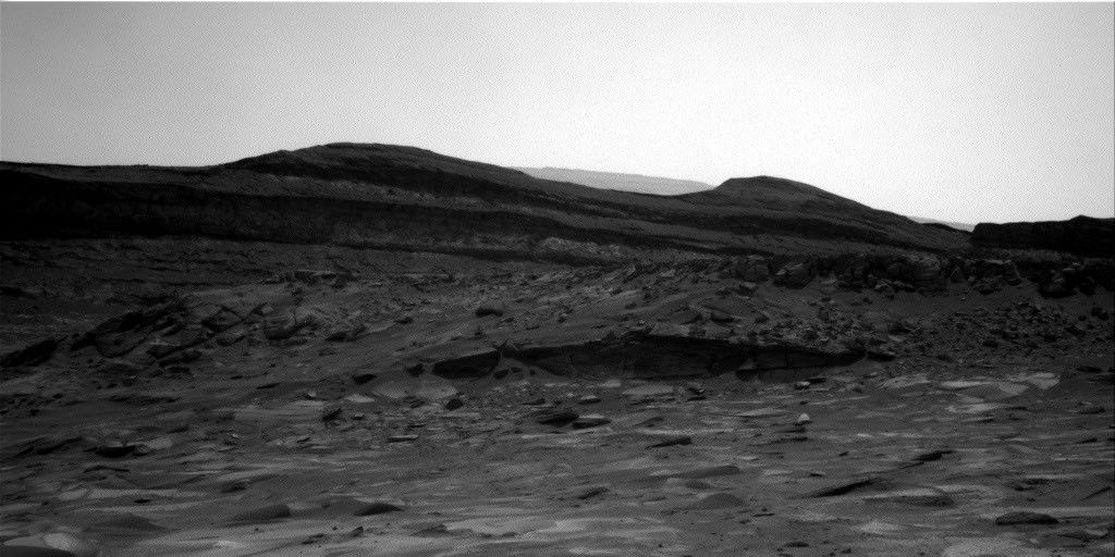
We are beginning to turn toward the east and southeast as we approach Vera Rubin Ridge with the Curiosity rover. After a busy and successful plan over the weekend, we weighed our priorities between using APXS to study the bedrock we're driving over or drive farther along our path.
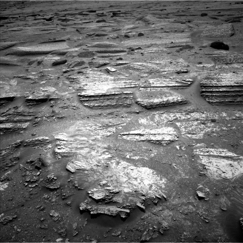
Today I was the Science Operations Working Group Chair as we planned sol 1718 and since we had only gained ~3m of elevation in our last drive, we decided to forgo contact science with APXS in favor of extending our drive distance. The GEO science theme group still found some interesting bedrock-"East Point" (the dark section in the middle of the rock at the upper right corner of the image), "East Pond", and "Eastern Point Harbor" - to target with ChemCam and Mastcam before we begin our drive. After a ~26 meter drive, we planned post-drive imaging to prepare for the next sol's activities and conducted a ChemCam AEGIS activity. The ENV science theme group had a quiet plan with routine DAN and REMS observations.
Written by Scott Guzewich, Atmospheric Scientist at NASA's Goddard Space Flight Center