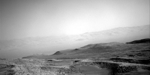
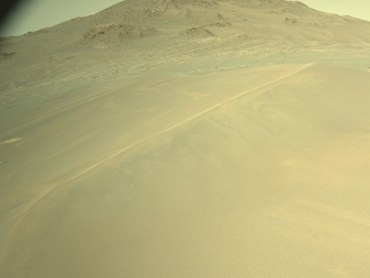
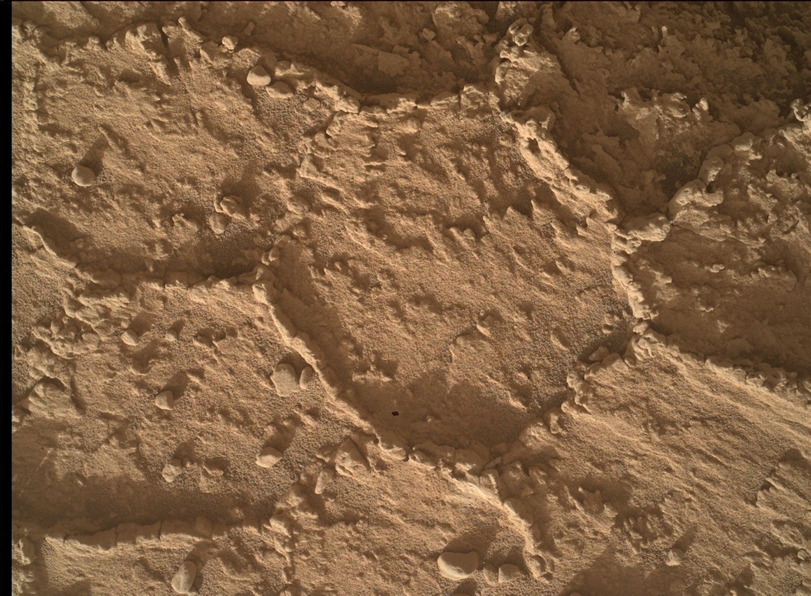
The weekend plan included a short drive (or bump) to get us closer to one of the interesting, more resistant ledges that are exposed in this area (“The Prow”), as Curiosity continues her climb up Mount Sharp. These resistant ledges have caught our attention because they reveal distinct textures. Being able to get close-up, high resolution imaging accompanied by compositional data, will help the science team better understand how they were formed. Hence the reason for our weekend bump and our return to The Prow exposure. However, Curiosity ended up perched on a couple of rocks and at a tilt, such that we were not able to safely deploy the arm and use either MAHLI or APXS. This meant that the rover engineers had to figure out how to move Curiosity off the rocks, but keep the areas of interest within reach of the arm instruments.
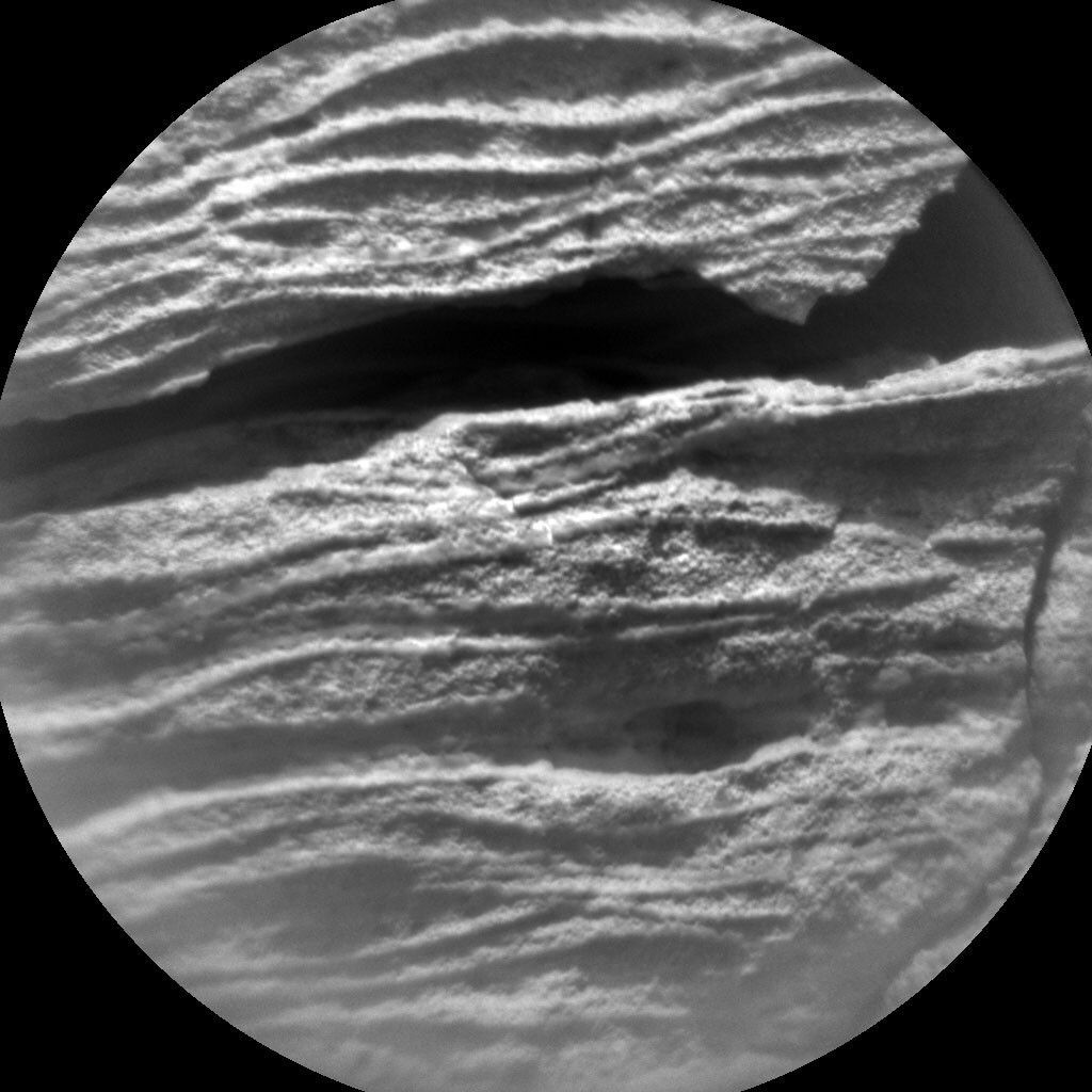
Without the use of the arm in this plan, the science team set about planning how to utilize the remaining instruments to continue characterizing this important area. ChemCam will analyze a small area within the resistant ledge that appears to be finer grained (“La Ventana”), to see if it has the same composition as the surrounding, sand-size grains. A Mastcam mosaic will also be acquired of the La Ventana target and surrounding area. This should provide improved context for the CheCam analysis, as well as help with planning the close-up MAHLI imaging that we hope to take in the next plan. Two other areas on the resistant ledge (“Caramambatai” and “Potaru”) will be imaged with ChemCam RMI, providing even more sedimentological and textural information. Mastcam will also image an area of nearby cliffs (“East Cliffs”) to look at shed blocks.
The environmental scientists planned several observations to continue monitoring changes in the atmospheric conditions. These included: Mastcam basic tau and stereo sky column observations, and Navcam 360 sky survey, large dust devil survey and line of sight observations.
After our hopefully successful bump, we will execute a ChemCam AEGIS analysis to autonomously measure the chemistry of a rock target in the new workspace. The terrain beneath the rover wheels will be imaged with MARDI. Standard REMS, DAN and RAD activities round out this plan.
As the APXS strategic planner this week, I am excited to hopefully be able to place the APXS on this interesting outcrop in tomorrow’s plan and see what textures and information can be teased out with MAHLI close up imaging.
Written by Lucy Thompson, Planetary Geologist at University of New Brunswick


