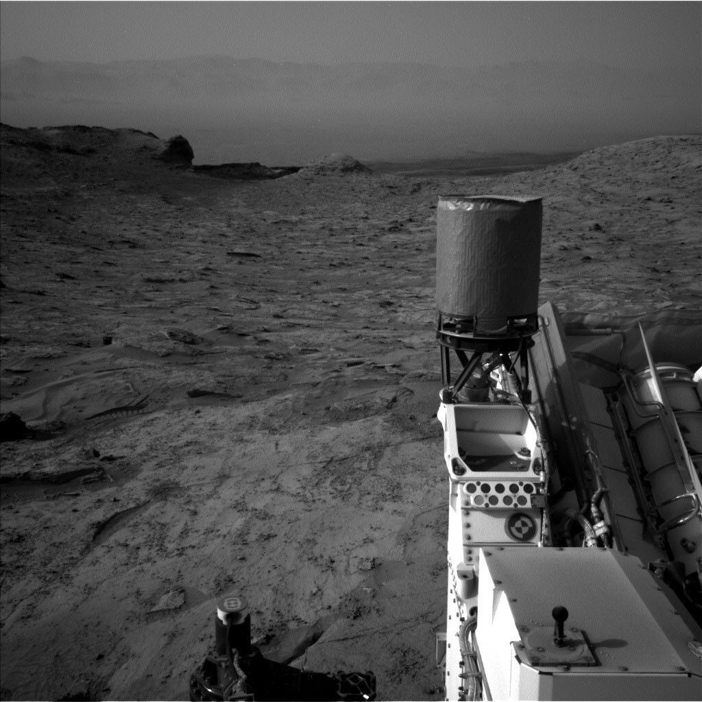
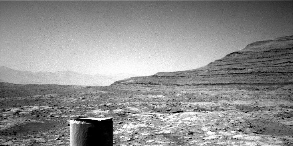
After our adventures further uphill, Curiosity is backing down hill to get to the start of the path she will take up to the "Greenheugh Pediment." We are still surrounded by amazing stratigraphy and have the benefit of having been through here before. We can fill in missing pieces of terrain, and follow up interesting observations. Mastcam and ChemCam imaging fills both needs today. Mastcam will acquire stereo mosaics across the base of "Maringma" butte, and across another butte east of our current location. Both mosaics are aimed at imaging sedimentary structures in these vertical exposures. In complementary fashion, ChemCam will cover the eastern butte layering with a 10x1 RMI mosaic. Mastcam will also image a stretch of tilted bedrock layers, dubbed "Plomo," that stretch uphill away from the rover.
Closer to the rover, ChemCam, MAHLI and APXS were also busy at this stop. Typically on a "touch and go" sol, we look at a given target with APXS and MAHLI, and then shoot another target with ChemCam to, in effect, spread the wealth of data we acquire across a workspace. Today, in part because we have ChemCam, APXS, and MAHLI data from this area from our first pass, we had the opportunity to focus all three instruments on one target, "El Dorado." We hope between APXS, MAHLI, and ChemCam, one instrument strikes gold at this prominent bedrock layer.
After our drive down hill, DAN will acquire both active and passive measurements, MARDI will acquire an image of the terrain under the left front wheel, ChemCam will autonomously shoot a target in the rover vicinity, and Mastcam will acquire a sky survey. REMS and RAD will continually monitor the environment as we start to move out of winter in Gale.
Written by Michelle Minitti, Planetary Geologist at Framework


