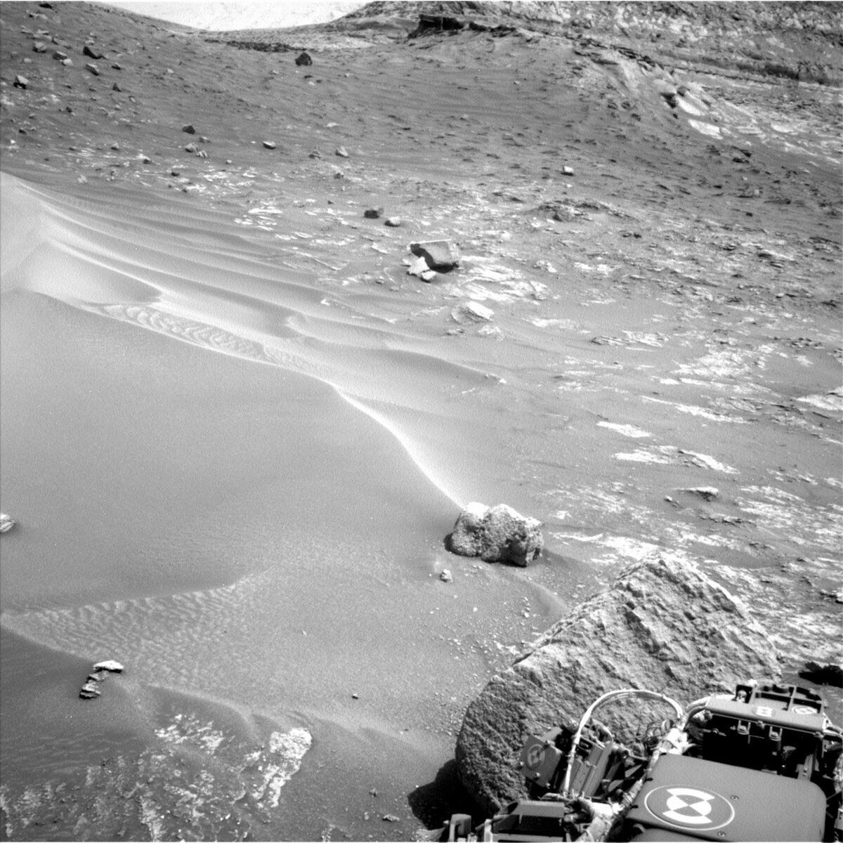
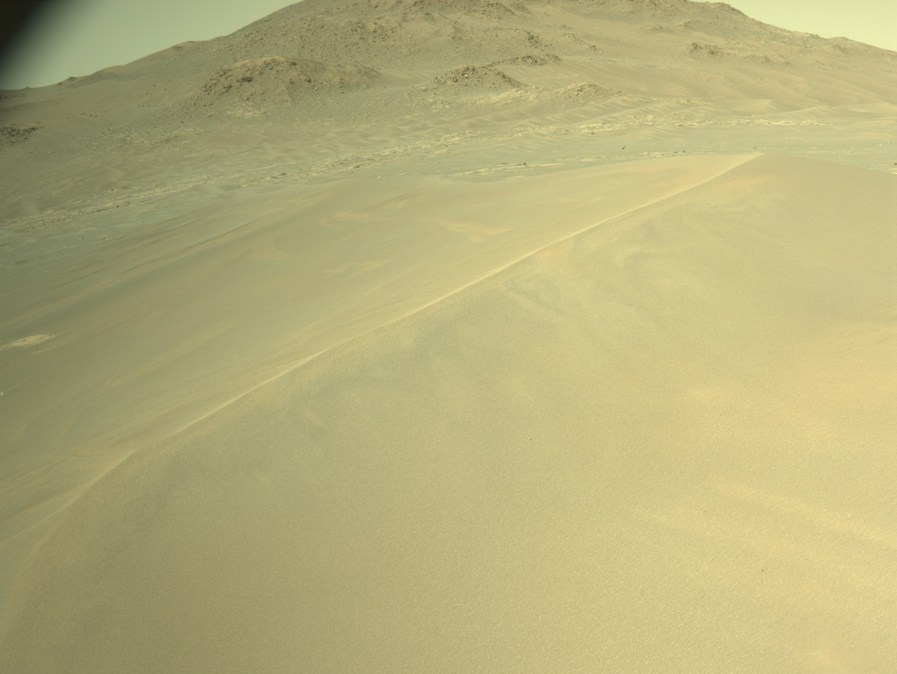
Coming in to work on the three-sol plan for the weekend, we were met with another set of stunning Images of the landscape around us. But for the Rover Planners the thing that really stood out is just how close we are to the very large rock (which you can see in the above image). Fortunately, Curiosity is safe and sound and ready for another set of exciting activities on Mars.
The first sol of the plan begins with a lot of imaging. Before things get warm, ChemCam is taking a measurement with the laser of the “Arimu Mine” target, a significant overhang on a rock in the workspace that appears to be resistant to erosion. This is followed up by a long-distance ChemCam of the Kukenan butte which still lie in the distance. Mastcam is also looking at Arimu Mine as well as “Konawaruk,” which is a target on the Bolivar buttes. We also do some atmospheric observations with Navcam including a dust devil survey.
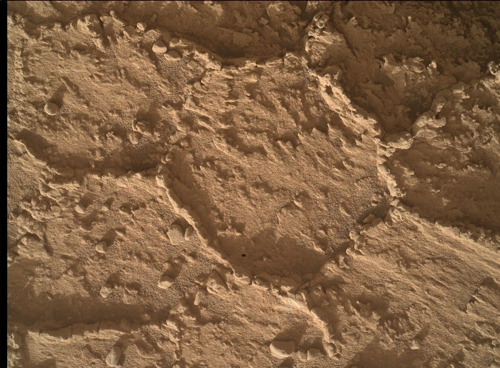
Curiosity then takes an afternoon nap before waking up to do contact science on the knobby rocks in the workspace. It took two Rover Planners to find and validate two targets that were accessible for contact science. “Massara” is the fattest rock we could find, but is still a rough rock. After studying the images and a lot of refinement, we were able to select a spot for Massara suitable for brushing; we also plan to take MAHLI images and APXS measurements on this target. Our other target took an equal amount of work, as it is on a lower tier of a rock and close to several other rocks. After significant refinement, we were able to select the target “Fortaleza,” which keeps the rover’s turret safe from colliding with the ground while hovering with the APXS and MAHLI. We also did some housekeeping observations, taking MAHLI images of the MAHLI and APXS calibration targets.
Early in the morning, before handing over to the next sol of the plan, we do an engineering heating test as well as some morning imaging of Bolivar; at this time of day sun is lower in the sky and provides the perfect lighting to look at textures.
On the second sol of the plan, Curiosity hangs out to take more imaging. ChemCam points the laser at “Taiano,” which is a nearby bedrock target, before looking further away with the RMI at what looks like an “inverted channel;” inverted channels form when the sediments are more resistant to weathering than the surrounding bedrock, so all that's left is the raised channel material. Mastcam also looks at Taiano, as well as taking multispectral images of the DRT target, Massara, and “Stampa Island,” a nearby rock that may be an iron meteorite. The science observations wrap up with a dust devil movie and an engineering maintenance activity for SAM.
In the evening, we do the first of a series of observations designed to look for cosmic rays by taking Navcam images at night. When cosmic rays hit the camera, streaks will appear in otherwise dark images which can indicate the direction and type of particle. We have accidentally caught cosmic rays with cameras on Mars before, but these are the first images intending to capture them. In the following early morning (before dawn), we take a Navcam cloud survey; at this time of day the low-angle of the lighting hits the clouds, illuminating them.
On the last sol of the plan, we finish up our target science with ChemCam LIBS observation of “Velami,” which is another rock target in the workspace. ChemCam also does RMI observations of Stampa Island and “Quattata,” which is a light-toned layer near the base of a distant butte. Mastcam also looks at Velami, and then takes stereo of the rover’s tracks, and the inverted channel. The images of the tracks will be used to search for any changes caused by wind after the tracks were made during the drive on 3565. The pre-drive science is rounded out with atmospheric observations, including a Mastcam solar tau to monitor dust in the astmosphere and change detection.
In the afternoon, Curiosity begins picking a way around the tricky terrain. In addition to the very large rock right next to us, we have steep tilts and lots of larger sand ripples, as visible in the above image. We begin by driving around to the right (west) of the boulder, which actually requires us to straddle a large 30cm rock. We also skirt the sand that we had trouble crossing (or rather, not crossing) in the 3565 plan. Once past the boulder, we turn back to the left (east) and park near a small ridge about so that we can see over it before driving further. This parking spot also had to be carefully selected between several other very large rock to ensure that we don’t run into any of them or park on top of them, preventing us from safely unstowing the arm.
The last thing in the plan, just prior to handing over to the sol 3571 plan, is a short set of atmospheric observations, including Navcam zenith and suprahorizon movies, and another Mastcam solar tau.
Written by Ashley Stroupe, Mission Operations Engineer at NASA's Jet Propulsion Laboratory

