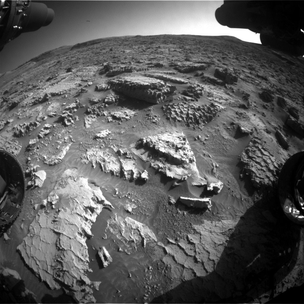
If you have ever had the experience of hiking up a sand dune, you can recall the feeling in your legs as you worked extra hard to stay stable and make forward progress as the sand shifted and moved beneath you.
Earth planning date: Friday, May 26, 2023
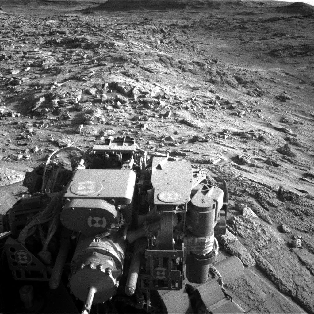
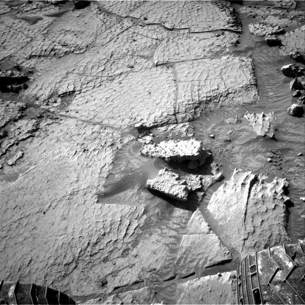
If you have ever had the experience of hiking up a sand dune, you can recall the feeling in your legs as you worked extra hard to stay stable and make forward progress as the sand shifted and moved beneath you. As you can see in the above rear Hazcam image, Curiosity had the same experience toward the end of her last drive. Her wheels churned through the sand she encountered as she drove uphill, carving a path and displacing half-buried rocks along the way. This kind of churn causes planning churn, upsetting plans for using the arm (and the instruments on it - DRT, MAHLI and APXS) for the long weekend. But the sand did not prevent the rest of the rover from taking in our surroundings!
The sand that hung Curiosity up also provided an attractive imaging target, with Mastcam mosaics planned across a large sand ripple next to the rover, and sand trough around one of the bedrock slabs near the ripple. Mastcam will acquire a 180+ degree context mosaic of the road ahead to support drive planning in this challenging terrain, and a multispectral observation of one the prominent veins that cuts through the bedrock in this area at "Kamani Kreek."
ChemCam also got in on the vein action with a raster across the “Sotara” vein. The host bedrock was not to be ignored, with one raster across representative bedrock at “Acai” (yum!), and a rough and bumpy version of the bedrock at “Muqui.” ChemCam RMI imaging looked slightly farther afield than Mastcam, with two long distance RMI mosaics on potential contacts on Gediz Vallis Ridge, and one mosaic on the yardang structures that top Mount Sharp.
Even farther afield, Navcam will acquire dust devil surveys, cloud movies, and atmospheric opacity observations across multiple sols and multiple times of day to keep building our temporal record of these phenomena. We were able to fit in more of these activities than usual due to leaving our power-hungry arm stowed. The extra power also meant that DAN could plan some extra long (4 and 6 hours!) passive measurements, and with the extra long plan to get us through the US holiday weekend, REMS got their own dedicated sol.
And finally, very close to home - within the rover itself! - CheMin will conduct its fourth analysis on the “Ubajara” sample. The more times CheMin can analyze the sample, the more detail the team can pull out from the data, and the better we refine our understanding of all of the mineral components in the sample.
Written by Michelle Minitti, Planetary Geologist at Framework


