Earth planning date: Wednesday, August 2, 2023
We don’t have a lot of power to play with today, so we have to be careful about how much time we give the different activities. As Arm Rover Planner, I got to sequence the contact science activities today.
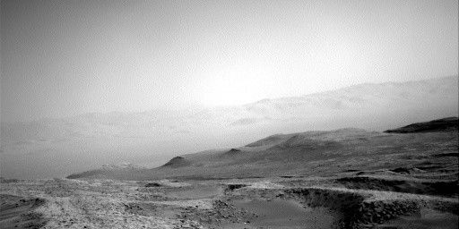
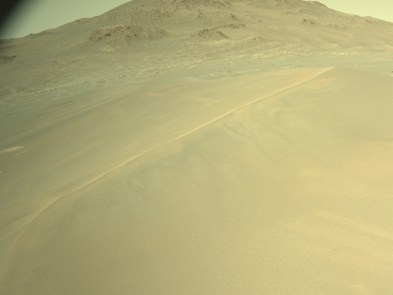
We start this two-sol plan with a nap to save up power. After waking up in the afternoon, we do a short block of imaging. Mastcam is taking three stereo mosaics. The first is a 4-frame mosaic of the Mt. Sharp foothills, specifically looking at an eroded area to see the layer orientations. The second is a target “Zagori,” which is a nearby field. Of large sand ripples. The third is of the nearby little craters. There is also an extension mosaic of the workspace; there is a pit in the workspace and science wants to determine if it is another small crater from the Jau cluster. Next, ChemCam takes an LIBS mosaic of the target “Valimi,” which is a nodular rock.
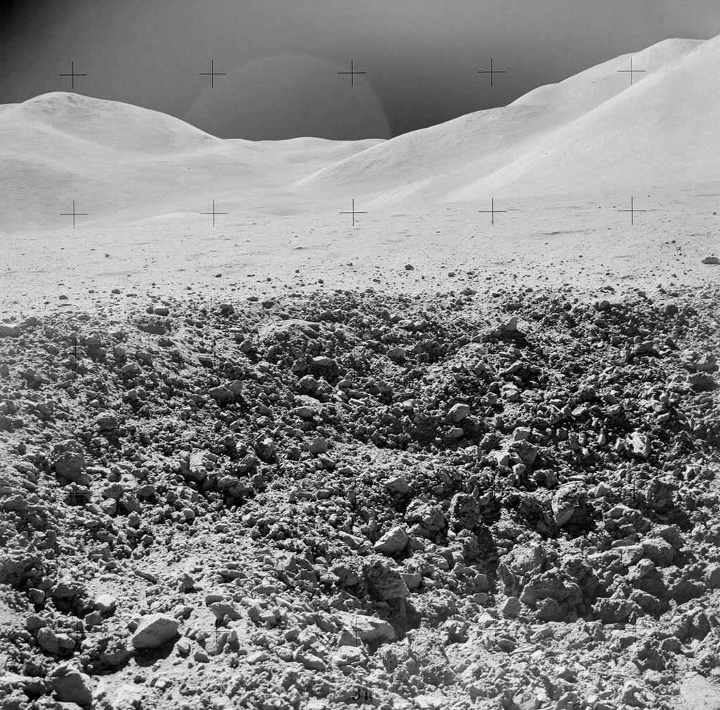
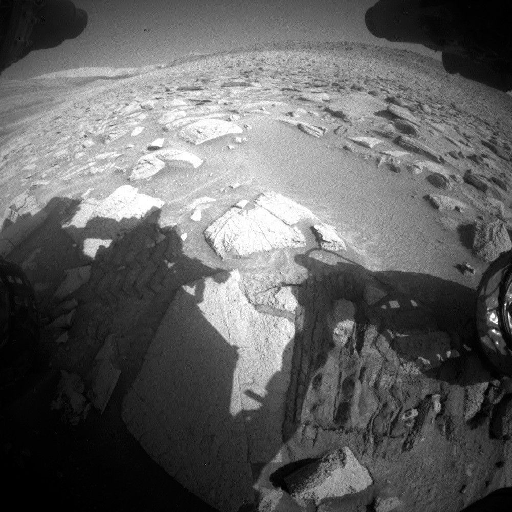
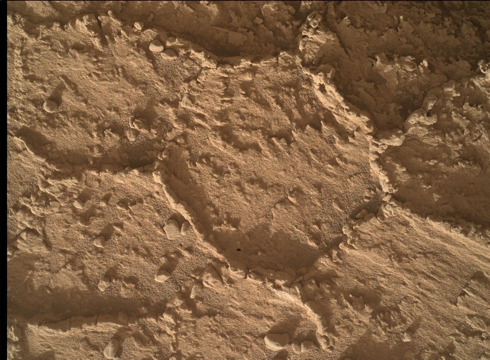
After the imaging, we turn to contact science; our workspace is in the image. The contact science targets were a little tricky to assess. The DRT target, “Samaria,” is on a rock that looks rather rough in the images. Fortunately our tools showed that the roughness was not as bad as it looked and we were able to proceed with brushing the target, as well as performing MAHLI and APXS. We couldn’t quite get to the 1-cm close approach due to that slight roughness, but we were able to get to 1.5 cm which was acceptable for science. The other target, “Kythira,” was a vein target. This was a little challenging because the vein was protruding up above the rest of the rock surface. Fortunately, the geometry of the vein (being quite long) ensured that the APXS contact would be safe and nothing could stick up into the instrument and again we were able to proceed with MAHLI and APXS. The uncertainty of arm placements, however, may mean that we don’t end up exactly centered on the vein – we will have to wait and see! The geometry of this target allowed us to get to 1cm with MAHLI for that extra image resolution. We did two sets of short APXS integrations (moving the arm in between) before stowing the arm for the night to be ready to drive in the morning.
Around 5:30 the next morning, we make another attempt to find frost In the cold winter Martian morning. Curiosity is near the equator, and we just barely meet the conditions required to produce frost, so it will be scientifically interesting if we find it! Activities at this time of day require a lot of heating to keep the instruments safe – this is why we are tight on power today. ChemCam is taking LIBS observations of “Filia,” a soil target. Soil gets colder than rock at night, so this is an ideal place to look for frost. In conjunction, we also use REMS to get the relative humidity and temperature, and we take a Navcam zenith movie to look at the weather conditions and clouds.
After a nap, Curiosity is waking up for the second part of the frost experiment on Filia and some other science. We also take a ChemCam passive sky observation which can measure the water vapor in the atmosphere. Mastcam takes a documentation image of Filia as well as Valimi, and then multispectral images of the Samaria DRT target and the Zagoria dune field to assess dust coverage.
After another short nap, it is time to drive. The terrain has been slightly improving over the last few drives. It is still rocky and sandy but the rocks and sand patches are smaller and less threatening. They do create a lot of holes in our stereo coverage, however, which makes it harder to drive long distances and we sometimes need to drive around. There are also a couple of ripples that we decided to avoid. The last challenge is that the rover is tilted left during most of the drive which means the rover is going to tend to slip to the side. We have to sequence checkpoints along the way to make sure we stay on the planned route. We’re driving only a total of about 20m today, but as we are power tight, that’s about all we had time for anyway. After the drive, we take a standard set of post-drive imaging, including drive direction, workspace, clast survey, and twilight MARDI.
Written by Ashley Stroupe, Mission Operations Engineer at NASA's Jet Propulsion Laboratory


