Earth planning date: Monday, September 18, 2023
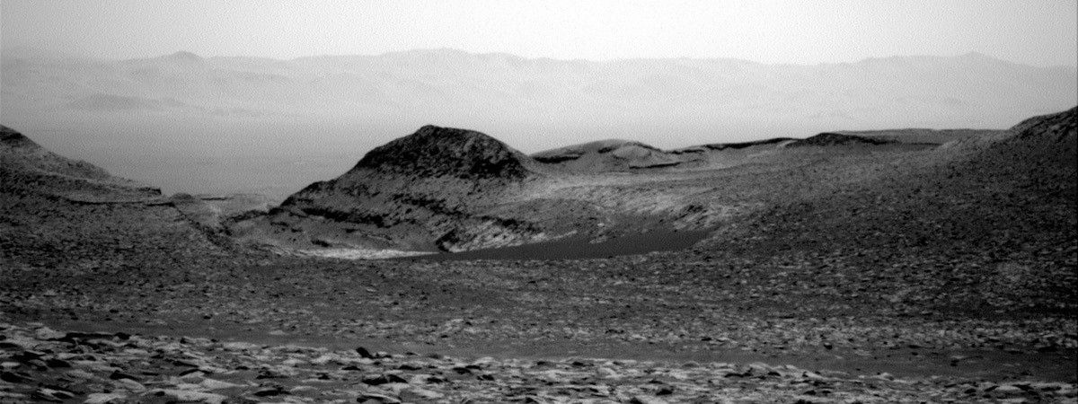
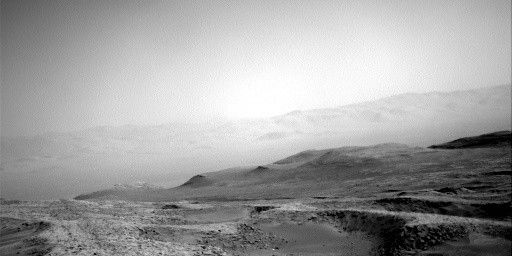
Coming in to planning today, we were greeted with another spectacular view back down Mt. Sharp and the distant crater rim visible through the haze (see the image). I am the TUL (Tactical Uplink Lead) today, but my trainee Kathryn is doing most of the work. We are continuing to drive southeast toward our next drilling location. In addition to contact science, targeted science, and driving, we are also doing some extra atmospheric observations because we are still seeing a lot of dust in the atmosphere.
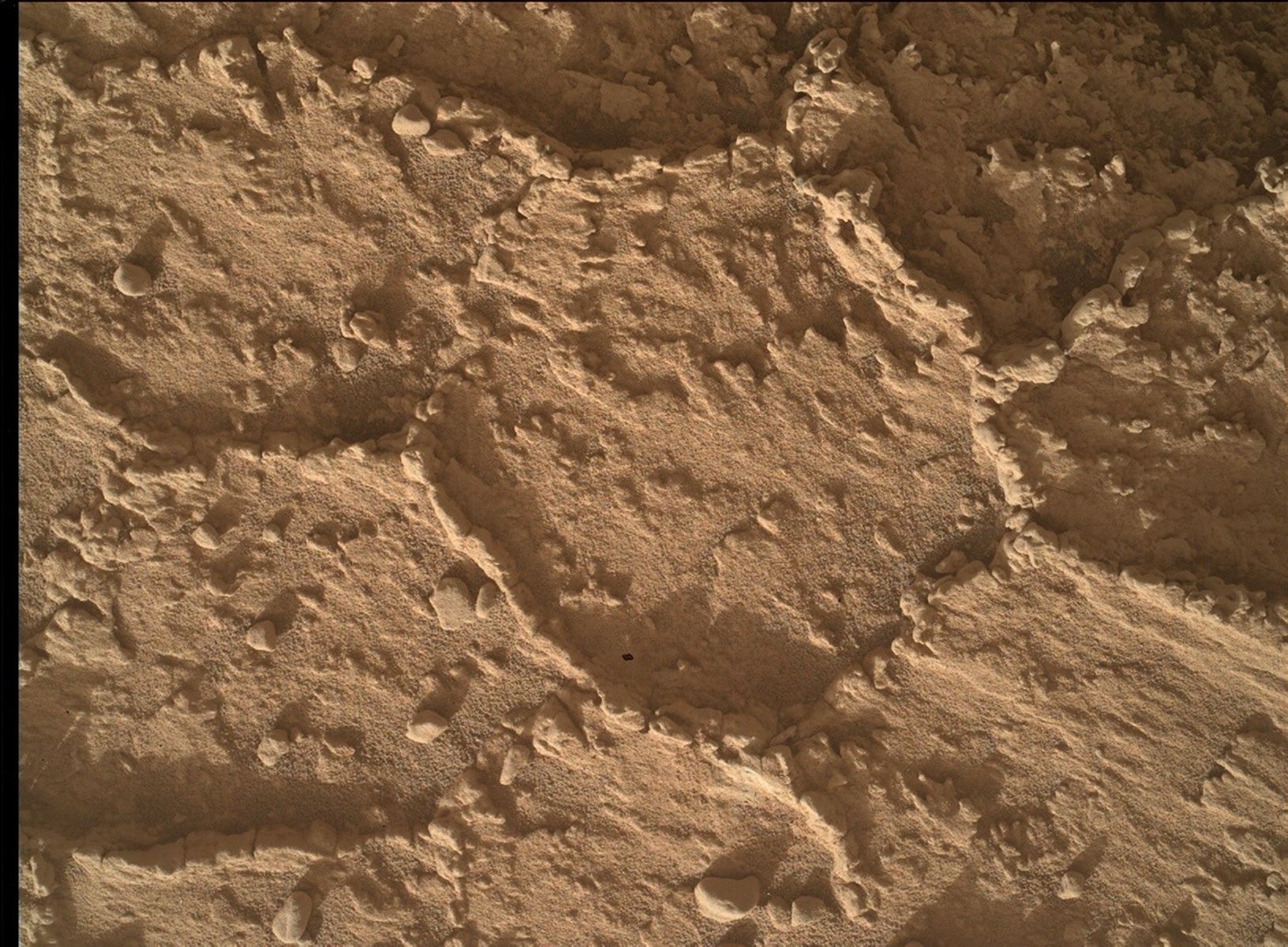
Today’s 2-sol plan has most of the activities on the first sol of the plan to ensure that we get all the data down before we plan again on Wednesday. Curiosity begins her day with some contact science. We use the DRT brush to clean he target “Sugarloaf,” a standard bedrock target that is very flat and dusty. Rover Planners (RPs) like these flat targets because they are very safe and simpler to evaluate and command, and we can get very good results from brushing. Once clean (hopefully), we place the APXS on Sugarloaf for some short integrations. At the end of the first arm sequence, the arm is moved off to the side to be out of the way for some targeted imaging of the workspace.
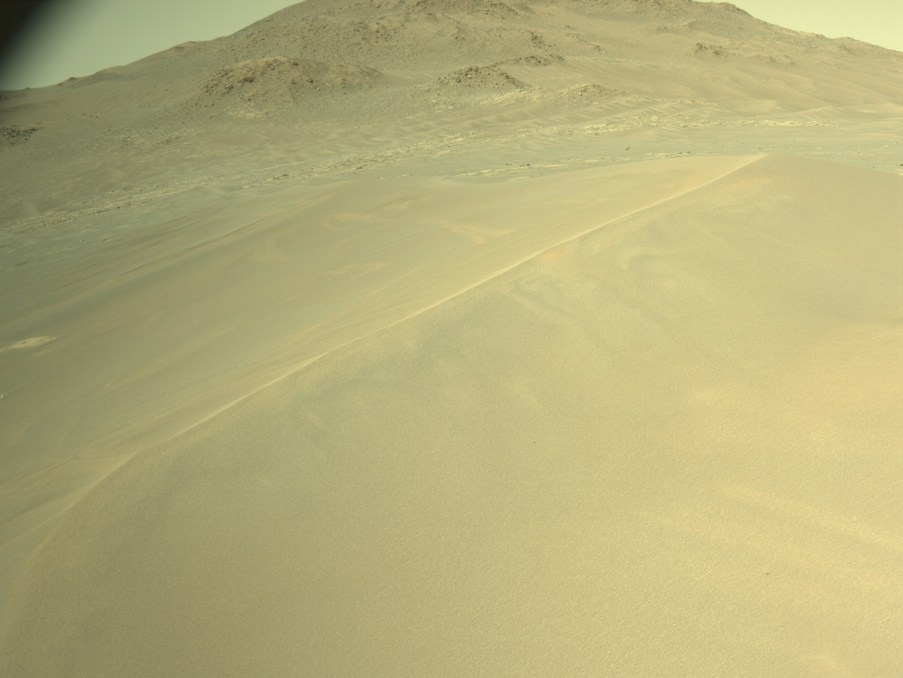
With the arm out of the way, we turn to imaging. We begin with a multispectral image of the contact science target Sugarloaf and a corresponding image of the calibration target. Next we take a stereo mosaic of the target “Zagori,” a distant set of eolian bedforms that we’re now seeing from a new angle. We then turn to CHEMCAM LIBS to look at the target “Toms Place,” which is another target on the same bedrock block as Sugarloaf, and a long distance RMI image of a darker capping layer on GedizVallis. We follow that up with a Mastcam mosaic around Toms Place to look more closely at the layers and a Mastcam solar tau, which is an observation of the sun to measure the amount of dust in the atmosphere.
With the targeted imaging complete, we turn back to the arm to take MAHLI images of our Sugarloaf target. We then stow the arm to prepare for the drive. The drive is taking us about 34m in a relatively straight drive southeast toward the strategically planned route. The terrain continues to be a mix of rocks and sand, though the rocks and slopes are relatively benign; there aren’t a lot of sharp pointy rocks or big rocks and the tilts are below 15 degrees. After the drive, we take our standard suite of post-drive imaging along with some additional atmospheric images in the later afternoon. And, just after sunset, we take our standard post-drive MARDI image looking under the rover.
After a good night’s sleep, Curiosity wakes up for some untargeted science. We take several atmospheric observations, including another Mastcam solar tau, a Navcam line-of-sight of the norther crater rim and Navcam stereo dust devil movie. Then CHEMCAM runs AEGIS for some automated science of whatever looks the most interesting from our new location. And finally, in the late afternoon, we are taking some Navcam movies looking for clouds.
Written by Ashley Stroupe, Mission Operations Engineer at NASA's Jet Propulsion Laboratory


