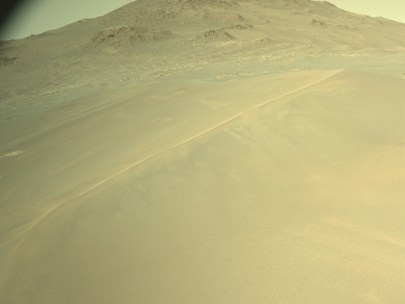
Earth planning date: Friday, December 8, 2023
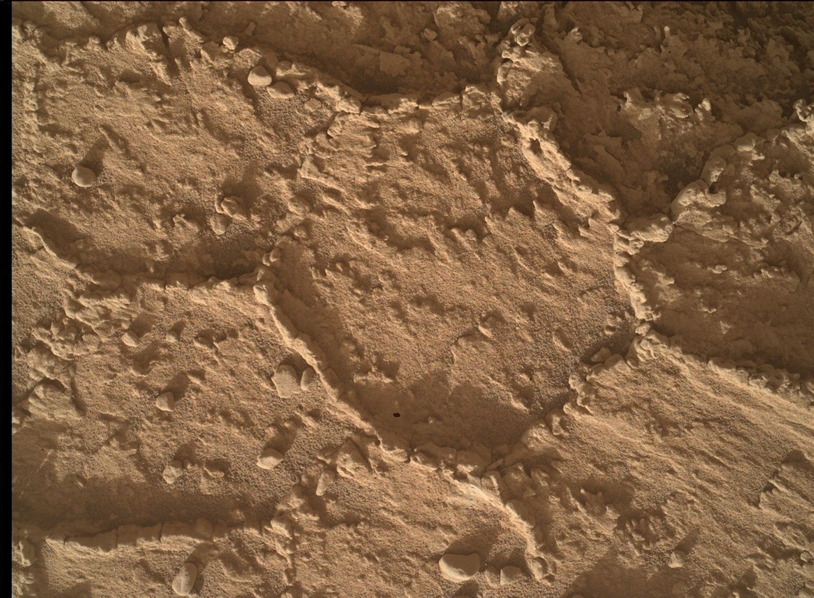
As we climb through the terrain, which is beautiful to look at with its steep topography, we are on the lookout for all the differences in the rocks. As a geologist, I marvel at the diversity, and I can spend quite some time just looking around, discovering the different things that there are to see. Have a look at this workspace mosaic, which is the main space the rover planners are working with today. If you zoom in, you can see the different surface features of the rocks. Some parts appear brighter, also called "light-toned," others appear darker. And they all have different textures, too. There is a lot of sand around, which occasionally gives the rover planners and the APXS team a headache, as they are trying to avoid it when placing the APXS. We want to measure the rock, and not a mixture of sand and rock. To remove sand, we do have the DRT, aka brush, tool, but placing that is difficult, when the rock says "don’t touch." Why’s that? Well, if you zoom into that workspace mosaic, you’ll see that there are some pretty pointy, sticking upwards features. As we do not know how hard they are, we cannot judge if they would just break off, if we brushed the target — or if they would damage the brush. Hence, the rover planners needed to find a spot without them. After careful scrutiny they did find a spot, now called "Wren Peak," and the team decided to have both APXS observations as center and off-set observation on this place. This will give us the best chance at getting good chemical data on a rock that is full of sand and sticky, pointy features. And good chemistry is what we need, even if the rock says "don’t touch" in many places!
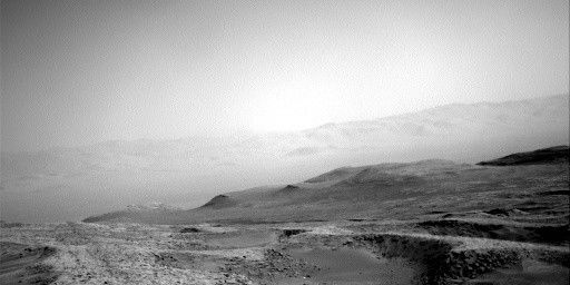
ChemCam also looks at those rocks, with the huge advantage that it doesn’t have to get close to this prickly set of rocks. Hence, there are two ChemCam targets "Sardine Lake" and "Fish Springs," both to investigate the chemistry within the diversity of different brightness and textures we see in the area. ChemCam will also have one of its automated AEGIS activities after the drive. And there is a long-distance RMI, but it’s a little different than usual as we are investigating the atmospheric effects on the images.
Mastcam is very busy, too, investigating all those colours, brightness levels and textures with three mosaics — and documenting the ChemCam targets, too. We are all looking forward to seeing how the different textures are related to each other — and maybe find out more about how the pointy features on the rock came to be. We drive off to a new location with many more textures and features to discover. They look more platy from a distance, but we will see on Monday, if that first impression holds.
Regular readers of this blog know that this blogger is a little into history of all things Mars (and not just that…), so as a bonus here is what I was doing while the rover planners were busy with the prickly rocks: I wondered what did the Mars Exploration Rover Opportunity do on its sols 4032-4034? Well, that was back in 2015, you can read about it here! As a fun coincidence, as we have just come out of conjunction ourselves, Mars was in conjunction then, but Opportunity didn’t get the time off! Instead, it used APXS on a surface target on the west rim of Endeavour Crater at the "Spirit of St. Louis" crater. And I am not going into the first solo flight across the Atlantic now…
Written by Susanne Schwenzer, Planetary Geologist at The Open University


