


A “Clean” Start for First KORUS-AQ Flights
by Emily Schaller / Osan Air Base, Seoul, South Korea /
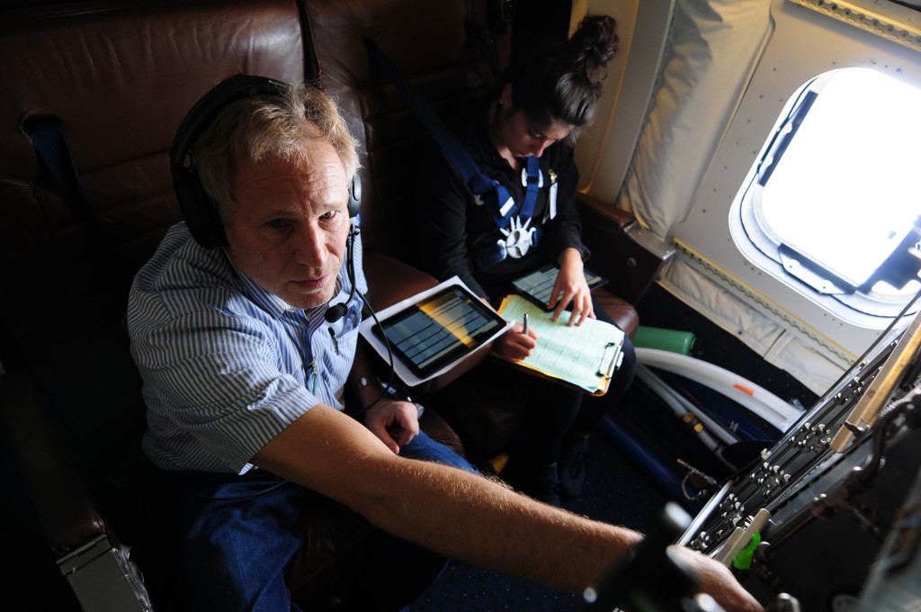
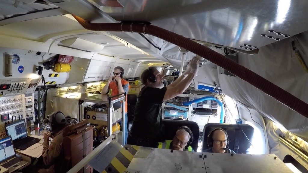
After years of preparation, on Monday, May 2, the three KORUS-AQ aircraft (NASA B-200, NASA DC-8, and the Hanseo King-Air) took off for their first coordinated science flights over South Korea. More than 50 scientists, pilots and crew from NASA and the Republic of Korea were aboard the three aircraft and flew thousands of miles across the Korean peninsula over the course of eight hours.
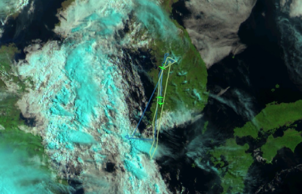
The tracks the planes flew were not simple point-A-to-point-B flights. Instead, the scientists designed flight plans that allowed them to sample pollution at many locations, altitudes and times of day. Before every flight, a team of meteorologists and air quality forecasters pour over data from satellites and model outputs to predict the sources, amounts and types of pollution the team may encounter and suggest appropriate flight paths so that the aircraft can best sample this pollution.
The meteorological and pollution conditions on Monday were such that the Korean peninsula was experiencing fairly good air quality. Why bother to fly if our goal is to sample high levels of pollution? This flight provided the team with a great opportunity to set a clean baseline. The relatively clean-air data collected on Monday will be compared to data collected on future pollution-filled flights, allowing the team to understand the full range of conditions on the peninsula.
Using aircraft to study pollution allows scientists to sample the air at multiple altitudes, from near ground level all the way up to about 25,000 feet. One way to do this is by flying ascending and descending spiral patterns as well as flying straight and level legs at several altitudes. We also sample at different times of the day to look at how the chemistry evolves as the day progresses and sunlight drives chemical reactions.
Below is a time-lapse video showing the flight paths of our three aircraft from 8AM- 4PM Korean Standard Time on Monday, May 2:
The DC-8 flight plan on Monday included spiral patterns from about 1000 feet all the way up to 25,000 feet near the Taehwa Mountain research forest ground site. This ground site has sensors and many instruments measuring air quality. The reason we do spirals and have a ground site at this particular location is to better understand how human-caused pollution from Seoul mixes and reacts with the natural emissions from trees in the forest. The DC-8 also flew north and south along the peninsula at constant altitudes to map small particles, ozone and hundreds of other chemical compounds at various altitudes along the peninsula. We repeated the spirals near Taehwa three times (morning, noon and afternoon) and also performed two spirals over the ocean to the southwest of the peninsula.
While the DC-8 and Hanseo King Air flew at a variety of altitudes to sample pollution, the NASA B-200 flew at a much higher altitude (28,000 feet), where it collected remote-sensing data from above, simulating data collected by current and future orbiting satellites.
Unlike commercial aircraft flights where the goal is to get from place to place, the goal of research aircraft flights is to safely collect the best possible science data. This means that the people aboard research aircraft often experience very bumpy flights and g-forces that are not normally encountered on commercial aircraft.
During spirals (which can last for more than 20 minutes), the constant ascending or descending when the aircraft is turning in a circle can cause some people to feel queasy. Flying at low altitudes near the surface where the air is unstable can also make for a very bumpy ride. Those aboard are prepared for these conditions and many take anti-nausea medications or wear anti-nausea patches.
On Monday’s flight, however, those on the DC-8 lucked out – though it was moderately bumpy at times and they completed five spirals, the flight was not nearly as nausea-inducing as other air quality sampling flights some had experienced in the past.
The complicated airborne ballet our aircraft danced over the Korean peninsula yesterday could not have taken place without the cooperation of Korean air traffic control authorities.
Flying spiral maneuvers, rapidly changing altitude and repeating flight paths multiple times is very different from how typical commercial aircraft fly.
Our pilots, navigators and mission management worked closely with local air traffic control both before and during the flights to allow our aircraft safe operation in the busy airspace over the Korean peninsula.
“NASA is enormously appreciative for the incredible support we have received from the Korean Civil Air Traffic and the R.O.K. Air Force Air Traffic controllers [ATC],” said NASA atmospheric scientist Barry Lefer. “Our colleagues at NIER [National Institute of Environmental Research] have spent many hours working with the ATC authorities making our flight operations in Korea possible.”
