


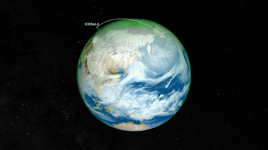
NASA’s ICESat-2 satellite returned to science mode on June 21 UTC, after solar storms in May caused its height-measuring instrument to go into a safe hold. The ICESat-2 team restarted the mission’s instrument, a lidar called the Advanced Topographic Laser Altimeter System (ATLAS), which is once again collecting precise data on the height of Earth’s …
NASA’s ICESat-2 Resumes Data Collection After Solar Storms
Read Full Post