


Sentinel-6B: Monitoring Earth’s Sea-Levels
The launch of Sentinel-6B will continue a joint mission between NASA and its European partners to monitor sea levels. This data is key to helping improve public safety, city planning, and protecting commercial and defense interests. Along with measuring global sea level rise and ocean circulation, the satellites record vertical profiles of atmospheric temperature and humidity. The data helps scientists forecast how much the ocean could encroach on coastlines, improve weather forecasts and hurricane predictions, and advance the study of ocean tides and phenomena like El Niño and La Niña.
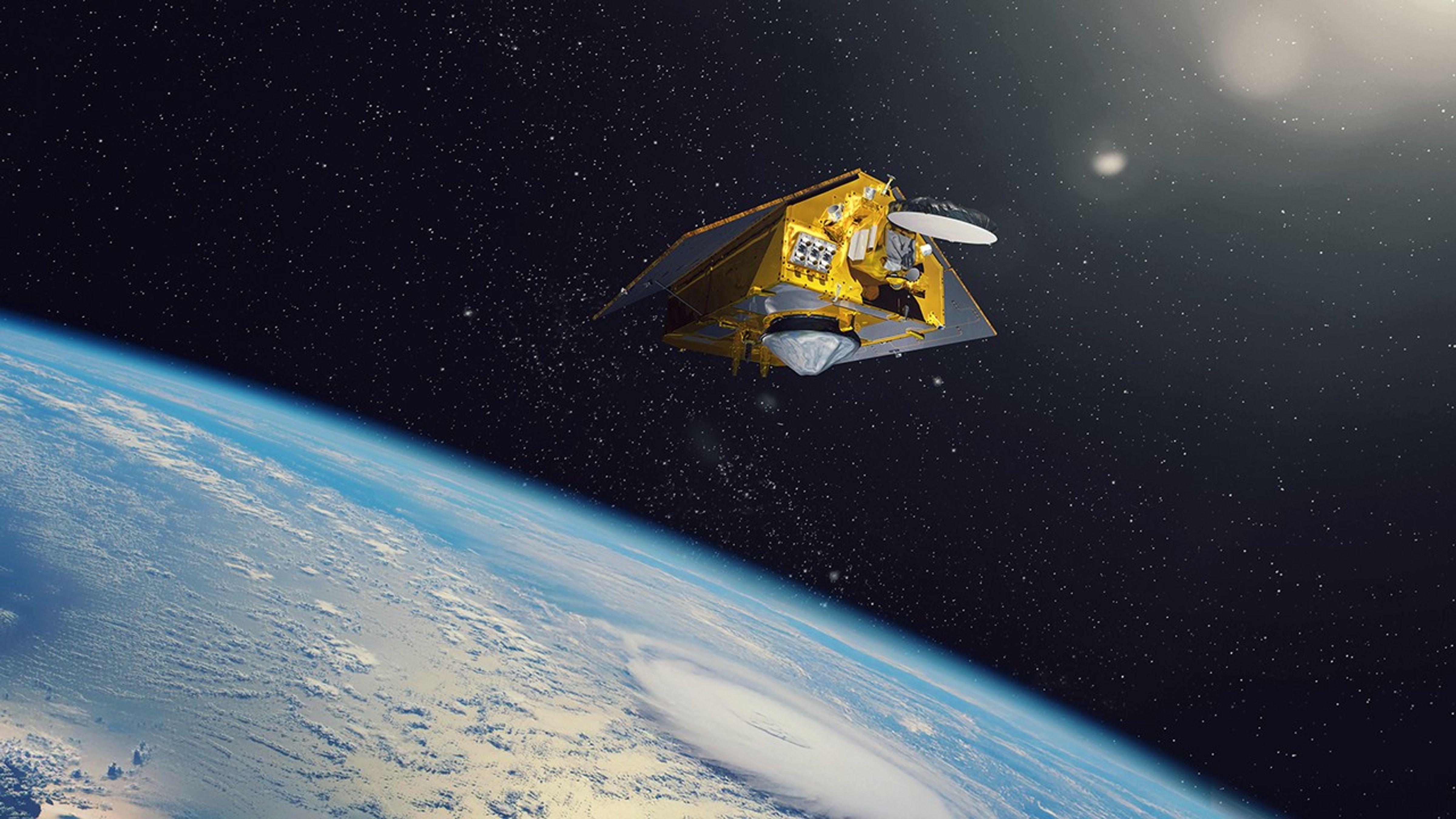
Sentinel-6B will extend the gold-standard sea level record to almost four decades, building on the legacy of its twin, Sentinel-6 Michael Freilich satellite, which launched in November 2020, and the Jason-series satellite missions, which first launched in 1992. The Jason-1 and Jason-2 missions have been decommissioned, but Jason-3 remains operational.
Sentinel-6B will use a radar altimeter to bounce signals off the ocean surface and deliver continuity of ocean topography measurements. The satellite will map about 90% of Earth’s ice-free oceans every 10 days. The mission also will collect high-resolution vertical temperature profiles, using the Global Navigation Satellite System Radio-Occultation sounding technique, to assess temperature changes in Earth’s atmosphere and improve weather prediction models.
Sentinel-6B’s sea surface height measurements will provide crucial information to improve coastal planning and enable local and state governments to make informed decisions about protecting coastal infrastructure, real estate, and energy sites. Those measurements also will help improve weather predictions critical to commercial and recreational navigation. Additionally, data from Sentinel-6B will help decision-makers to safeguard coastal military installations and provide crucial information about weather and ocean conditions.
The Copernicus Sentinel-6/Jason-CS (Continuity of Service) mission is a collaboration between NASA, the European Union, ESA (European Space Agency), EUMETSAT (the European Organisation for the Exploitation of Meteorological Satellites), and the National Oceanic and Atmospheric Administration (NOAA). The European Commission provided funding support, and the French space agency CNES (Centre National d’Études Spatiales) contributed technical support.