Human Dimensions
Filters

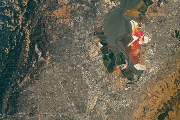
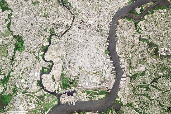
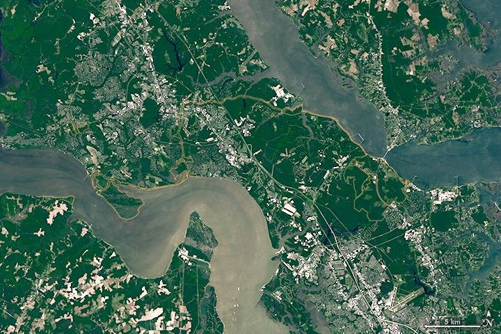
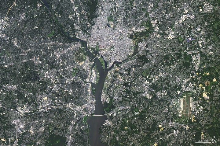
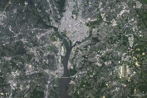
Over the years, astronauts aboard the International Space Station have photographed several of the cities hosting the 2026 FIFA World…

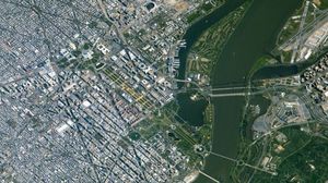
It was here the founders shaped the future of American government.

The colonial communities of “America’s historic triangle” played defining roles in the road to American independence.

NASA air quality information is supporting CDC planning as World Cup crowds gather across North America.
The farms and gardens of Mount Vernon played a central role in the life of America’s first president.
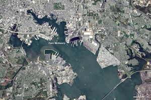
Two hundred years ago, a battle in the port city of Baltimore inspired the writing of America’s national anthem.
From Civil War battlegrounds to industrial landmarks to the country’s earliest national parks, these places helped shape the United States…
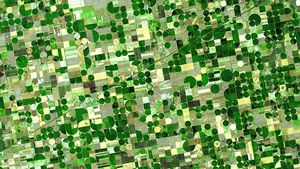
NASA develops technology and missions to observe agricultural landscapes, enhancing food security, stabilizing markets, and supporting productive farming.

Relentless rains are threatening a lake in Kenya's Great Rift Valley that has become a key hub in the global…