


Agriculture
Filters
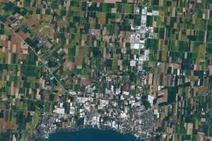
The expansion of greenhouses in southern Ontario is changing the appearance of the land surface—and the night sky.

NASA satellites are helping Maine oyster farmers pick better sites and plan when oysters will be ready to harvest.

The tart berry and state fruit brings a red pop to holiday feasts—and to satellite images of Midwestern marshlands.
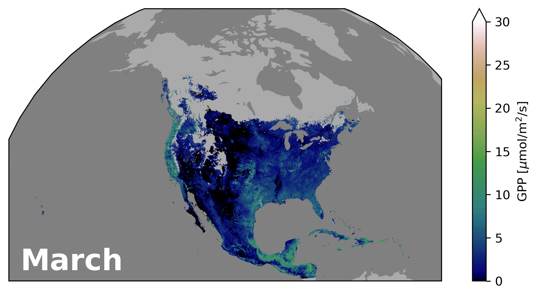
NASA scientists have developed a new set of tools to monitor plant growth under various conditions throughout the growing season.…

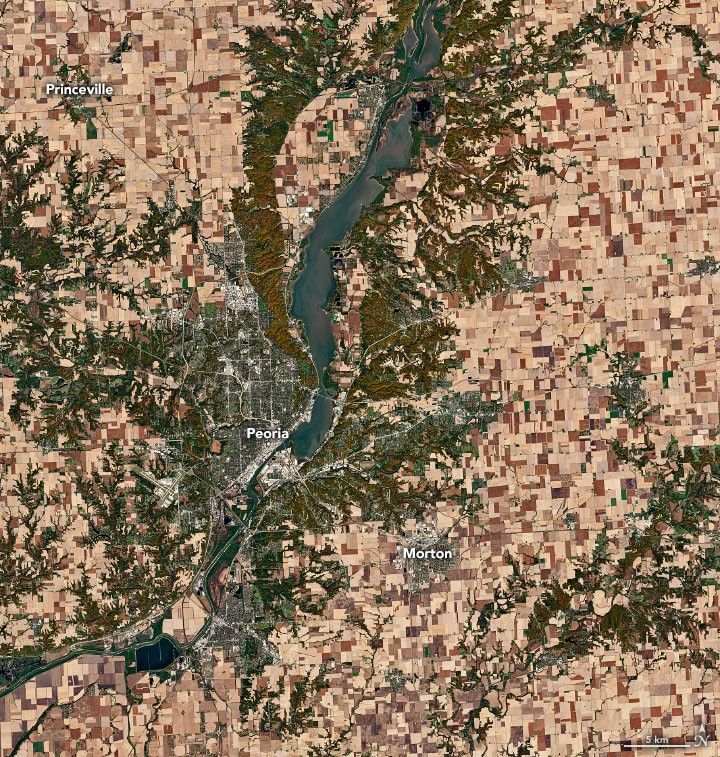
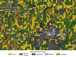
The Landsat satellite program, with its unparalleled 53-year historic record, can reveal changes through the Annual National Land Cover Database…
That’s a key question for many farmers, and new research may make it easier to develop growing season plans.
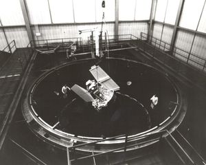
When the first Landsat satellite launched in 1972, it posed the following question: could we manage our natural resources using…

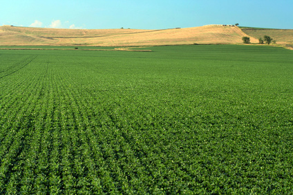
The Midwest state has flat land, fertile soils, and the nation’s largest soybean harvest. Â
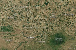
Agricultural fields in north-central Montana, where wheat grows in abundance, display captivating patterns when viewed from above.