


Airborne Surface, Cryosphere, Ecosystem, and Nearshore Topography
STV Airborne Campaign Planning
Surface Topography and Vegetation (STV) plans to conduct several airborne campaigns for contemporaneous radar, lidar, and stereoimaging data collection. The focus will include different types of targets to provide surrogate data for space-based performance modeling and science.
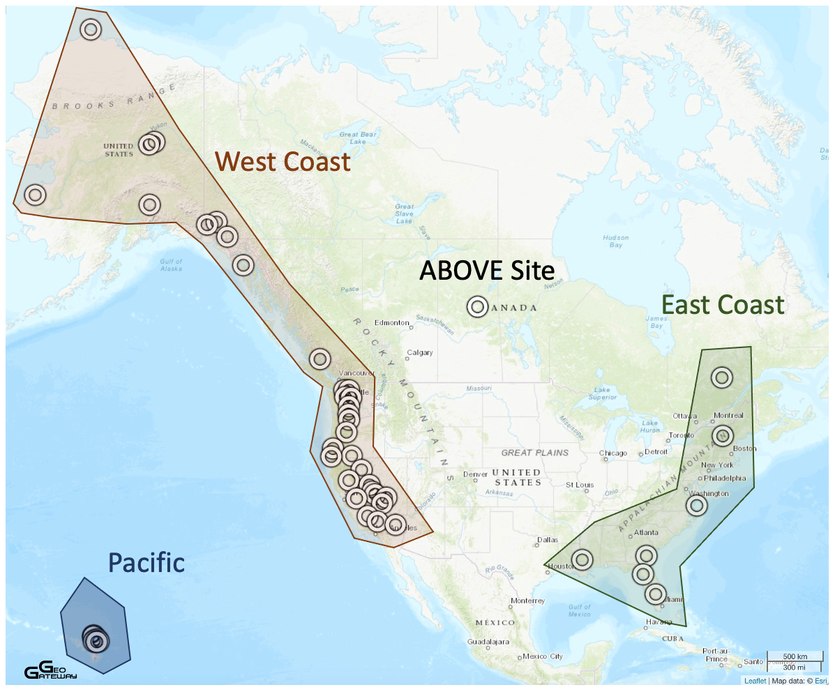
ASCENT campaigns are planned for the West Coast, East Coast and Costa Rica.
Instruments
Potential instruments for airborne campaigns include:
UAVSAR
The Uninhabited Aerial Vehicle Synthetic Aperture Radar (UAVSAR) attaches to the fuselage of an Gulfstream aircraft to collect a roughly 12-mile-wide (19-kilometer-wide) image of an area.
https://uavsar.jpl.nasa.gov
QUAKES-I
The Quantifying Uncertainty and Kinematics of Earth Systems Imager (QUAKES-I) is an airborne optical stereo-imaging system that enables rapid, large-scale production of high-resolution topographic data.
https://airbornescience.jpl.nasa.gov/instruments/quakes-1
LVIS
The Land, Vegetation, and Ice Sensor (LVIS) is an airborne, wide-swath imaging laser altimeter system that is flown over target areas to collect data on surface topography and 3-d structure. LVIS typically operates at an altitude of 10 km above the ground producing a data swath of 2km wide with 7-10 m footprints.
https://lvis.gsfc.nasa.gov/Home/index.html
CASALS
Concurrent Artificially intelligent Spectrometry and Adaptive Lidar System
https://ntrs.nasa.gov/citations/20230015620