


before
after
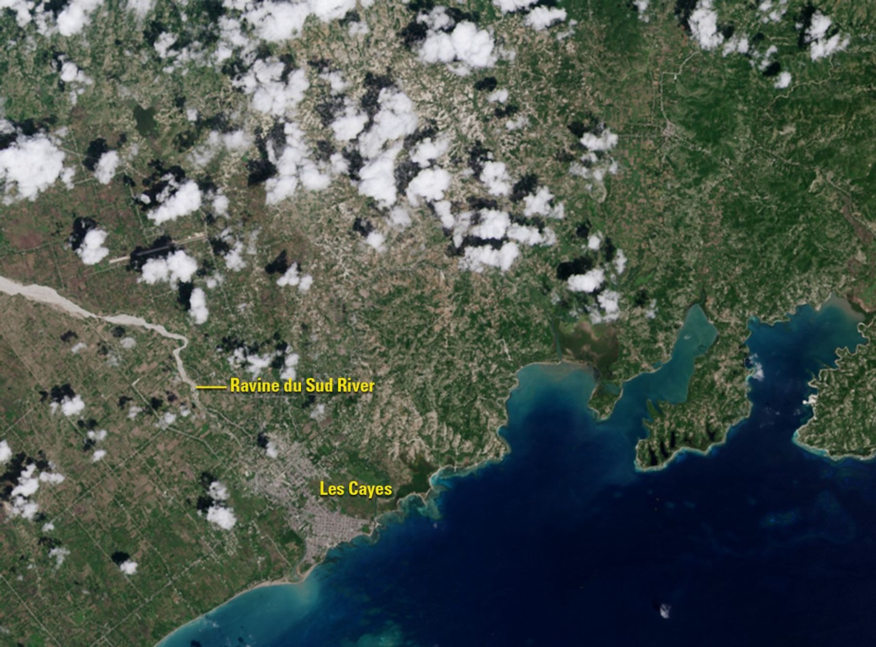
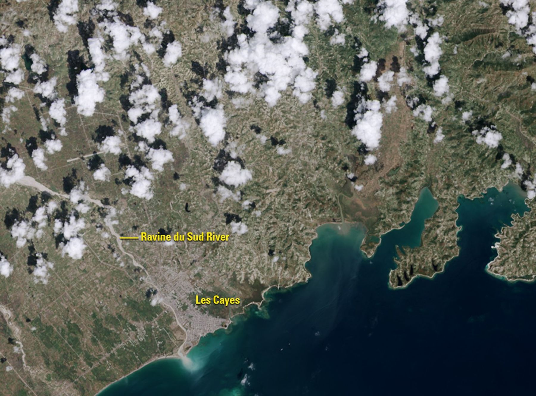
Before and After
Hurricane Matthew pounds southwestern Haiti
September 26, 2016 - October 12, 2016
Hurricane Matthew pounded southwestern Haiti on October 4, 2016, washing away crops and other vegetation (green areas in the September image), which were often on steep slopes. Some of the eroded soil is visible as sediment at the mouth of the Ravine du Sud River. The storm dropped some 30 inches of rain on parts of the country and damaged or destroyed hundreds of thousands of homes. Images taken by the Operational Land Imager onboard Landsat 8. Source: U.S. Geological Survey (USGS) Landsat Missions Gallery; U.S. Department of the Interior / USGS and NASA.


