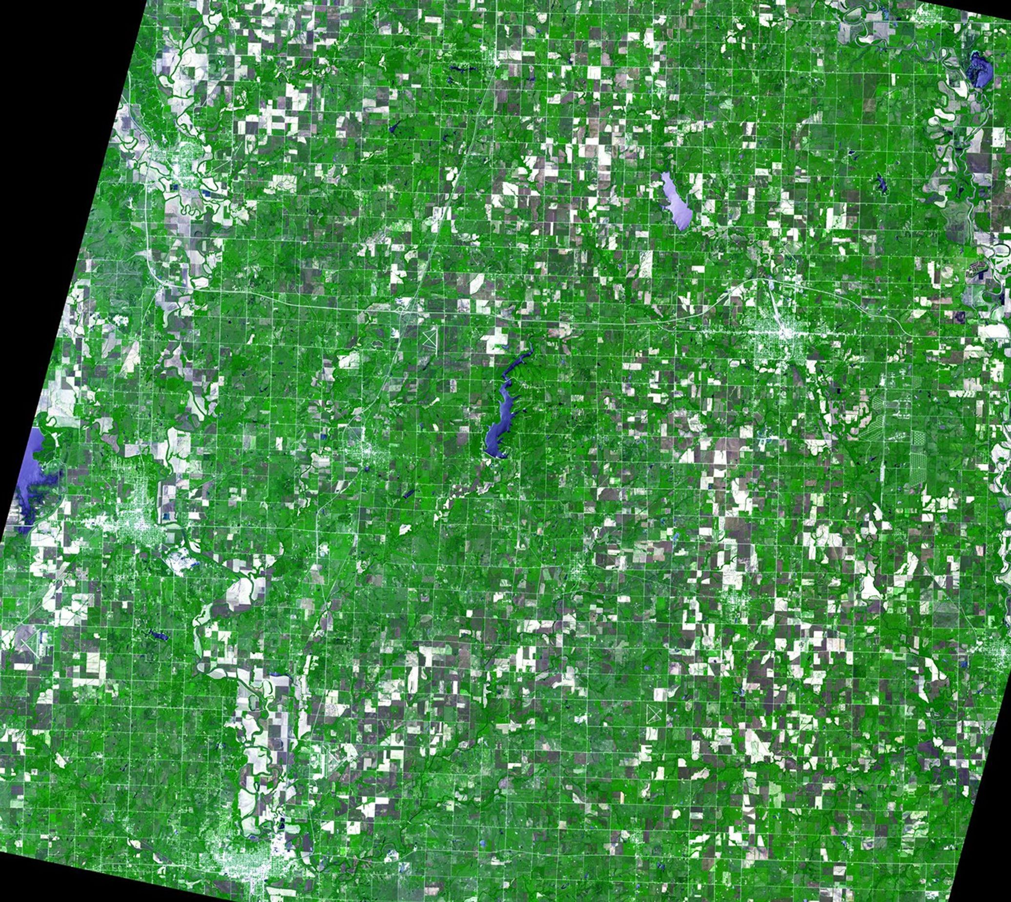
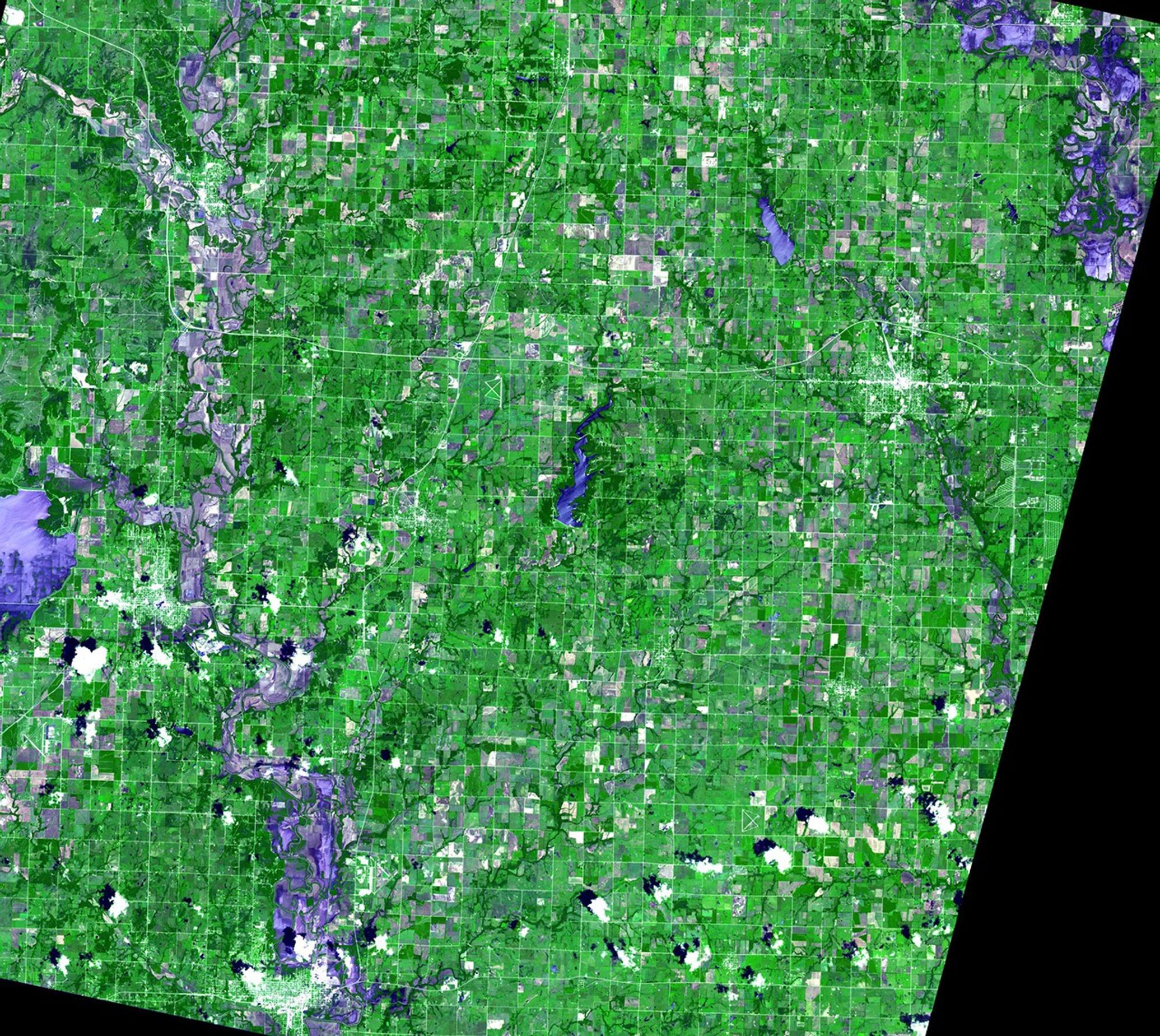
Suggested Searches

1 min read

Independence and Coffeyville floods, Kansas

before
after
At the beginning of July 2007, Kansas and Missouri were hit hard by days of heavy rain and resulting flooding. The Neosho River (upper right corner of images) and Verdigris River (running north-south across the left side of the pictures) in Kansas rose to record levels, flooding the towns of Independence and Coffeyville. Images taken by the Advanced Spaceborne Thermal Emission and Reflection Radiometer (ASTER), courtesy of NASA/GSFC/METI/Japan Space Systems
and the U.S./Japan ASTER Science Team. Source: ASTER Gallery.

Before and After

Independence and Coffeyville floods, Kansas

May 19, 2007 - July 6, 2007

At the beginning of July 2007, Kansas and Missouri were hit hard by days of heavy rain and resulting flooding. The Neosho River (upper right corner of images) and Verdigris River (running north-south across the left side of the pictures) in Kansas rose to record levels, flooding the towns of Independence and Coffeyville. Images taken by the Advanced Spaceborne Thermal Emission and Reflection Radiometer (ASTER), courtesy of NASA/GSFC/METI/Japan Space Systems
and the U.S./Japan ASTER Science Team. Source: ASTER Gallery.

Downloads

Image 1

JPEG

(3 MB)

Image 2

JPEG

(4 MB)