


Earth Stories
Filters

In autumn 2024, California’s Monterey Bay experienced an outsized phytoplankton bloom that attracted fish, dolphins, whales, seabirds, and – for a few weeks in October – scientists. A team from NASA’s Ames Research Center in Silicon Valley, with partners at…

NASA satellite data and citizen science observations combine for new findings on bird populations.

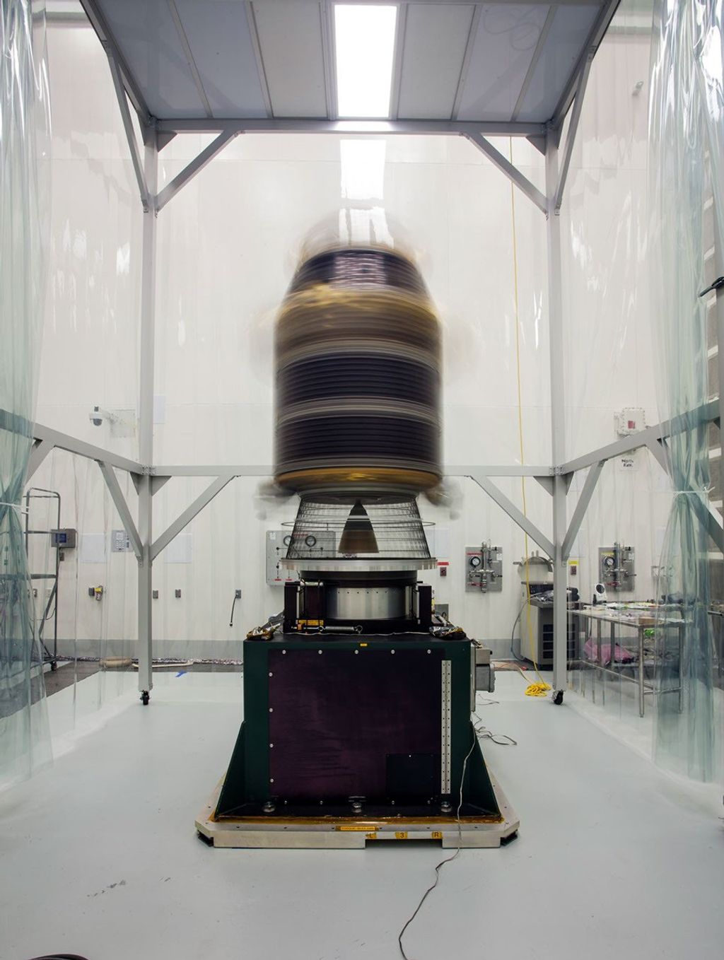
Editor’s note: NASA’s Arcstone lunar calibration instrument lifted off aboard the Transporter-14 rideshare mission with SpaceX via launch integrator Maverick Space Systems from Vandenberg Space Force Base in California on June 23, 2025 at 2:25 p.m. PT. NASA will soon launch a one-of-a-kind instrument, called Arcstone, to…

For 540 million years, the ebb and flow in the strength of Earth’s magnetic field has correlated with fluctuations in atmospheric oxygen, according to a newly released analysis by NASA scientists. The research suggests that processes deep inside the Earth…
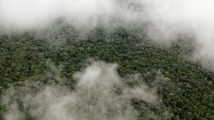
NASA uses satellite lidar technology to study Earth’s forests, key carbon sinks.

With hurricane season underway, NASA is gearing up to produce cutting-edge research to bolster the nation’s readiness and response to severe weather.
Proof-of-concept results from the mouth of the Tijuana River in San Diego County show how an instrument called EMIT could aid wastewater detection. An instrument built at NASA’s Jet Propulsion Laboratory to map minerals on Earth is now revealing clues…

Science in Space June 2025 Scientists use instruments on the International Space Station to study phenomena in Earth’s ionosphere or upper atmosphere including thunderstorms, lightning, and transient luminous events (TLEs). TLEs take many forms, including blue jets, discharges that grow…

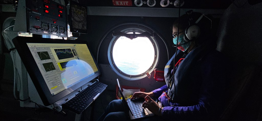
NASA’s Ames Research Center in Silicon Valley houses a unique laboratory: the Airborne Sensor Facility (ASF). The engineers at the ASF are responsible for building, maintaining, and operating numerous instruments that get deployed on research aircraft, but one of their…
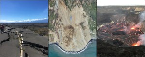
Editor’s note: The caption for the OPERA portal image of uplift in the Gulf of California was updated on June 25, 2025. An online tool maps measurements and enables non-experts to understand earthquakes, subsidence, landslides, and other types of land motion.…