![Request for Information – Potential [Placeholder for Prize]](https://assets.science.nasa.gov/dynamicimage/assets/science/missions/a-step/FFR_Earth_Background_20251120%20.png?w=1024)


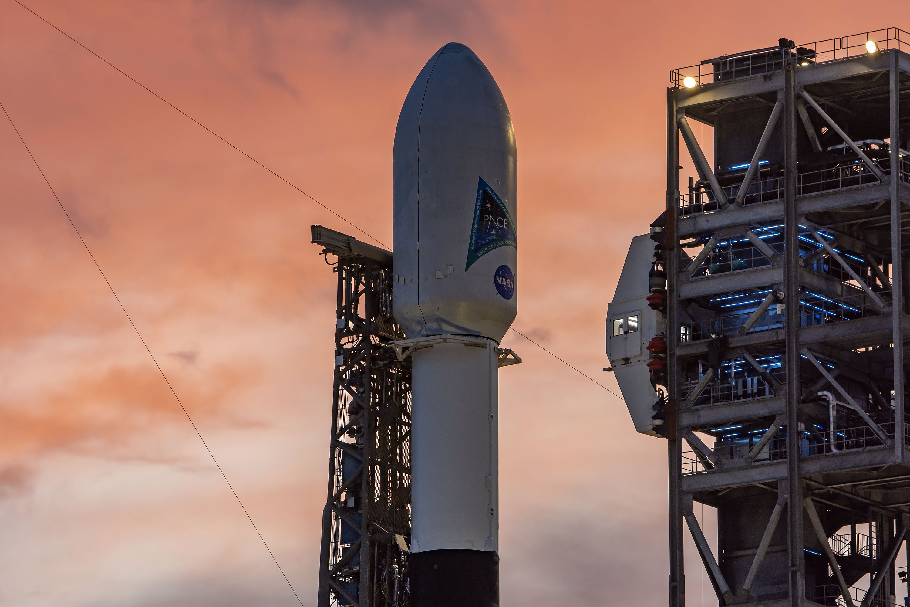
From the atmosphere down to the surface of the ocean, data from NASA’s PACE (Plankton, Aerosol, Cloud, ocean Ecosystem) satellite benefits ecosystems, human health, and underrepresented communities.
Years before the launch in February 2024, mission leaders from NASA teamed with dozens of applied scientists and environmental professionals to prepare for the many practical uses that could be informed by PACE data. PACE’s Early Adopter program integrates science data into business, environmental management, and decision-making activities to benefit society.
The researchers specialize in a wide range of topics including water resources, fisheries and aquaculture, air quality and health, climate, and agriculture. These early adopters of the science provide a bridge between the PACE team and local communities and decision-makers who need accessible products for public use. Such work can help connect the new frontier of PACE’s hyperspectral and multi-angular polarimetric data to real-world problems – and find new ways to address challenges.
Helping Coastal Communities Keep Fisheries Safe
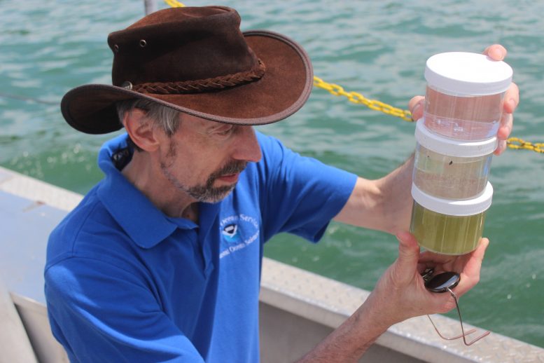
In coastal communities, knowing the quality of the water is essential for ecosystem health, safe and sustainable seafood, and recreation – not to mention human livelihoods that depend on fisheries.
Marina Marrari, executive director of the Costa Rican Fishing Federation in San José is one of PACE’s early adopters. Marrari and her colleagues developed a mobile app that will pull in data from PACE’s Ocean Color Instrument to help inform the public about harmful algal blooms. Known as pezCA, the app distributes near real-time data about ocean temperature, chlorophyll concentration, and currents as measured by other NASA satellites. Once PACE data is available, the app will be updated to include a product on specific types of harmful algal blooms that can have toxic effects on people and animals.
Bringing Air Quality Alerts to the Midwest
Information on air quality and airborne particles (aerosols) is typically available for dense urban areas like Los Angeles, Atlanta, and New York. Marcela Loría-Salazar, assistant professor at the University of Oklahoma in Norman, plans to use data from PACE’s polarimeters and OCI to study air quality in locations in the middle of the United States, where there tend to be fewer ground-based monitors.
Urban pollution emissions, desert dust, and smoke from wildfires can travel from distant places – across continents or even oceans. (Think of the wildfire smoke that can blow from Alaska and Canada into the central U.S.) PACE gathers global data on this dust and smoke in Earth’s atmosphere every one to two days, and that data is open access – meaning it is available for anyone to find and download free from the Internet.
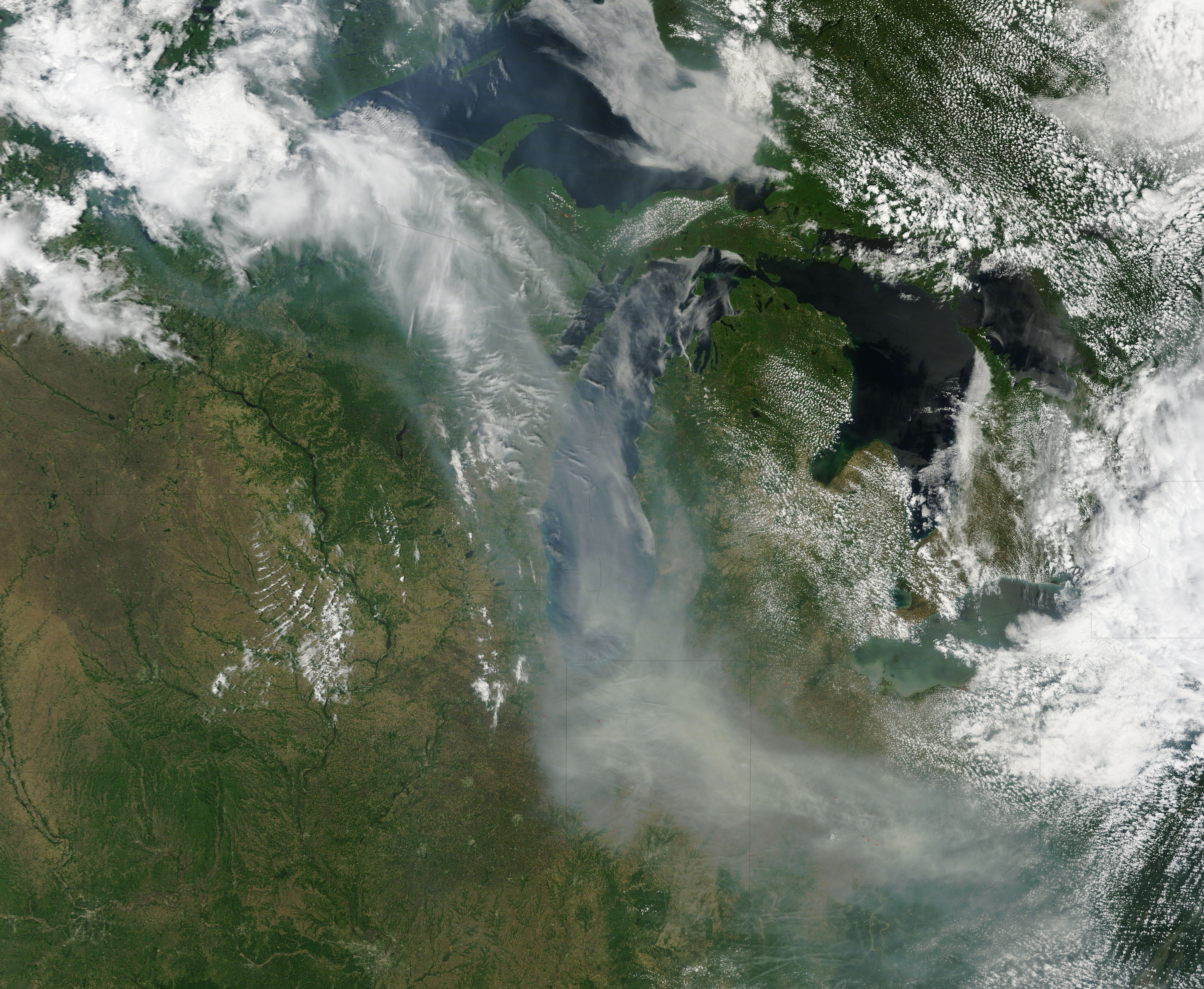
Loría-Salazar and her team can use this information to track aerosols, studying how they change as they move over land, change altitude, and interact with other atmospheric particles. Her goal is to better understand how these aerosols affect human health when they’re inhaled. Her team works with the Oklahoma state government to develop solutions to improve air quality decision-making.
She also works with tribal nations to help inform air quality decisions in their communities. For example, setting prescribed fires is a traditional activity to preserve ecosystems, but the fires do put smoke into the air. By using satellite data, tribal managers can make better-informed decisions about the potential risk of acute smoke exposure on a given day.
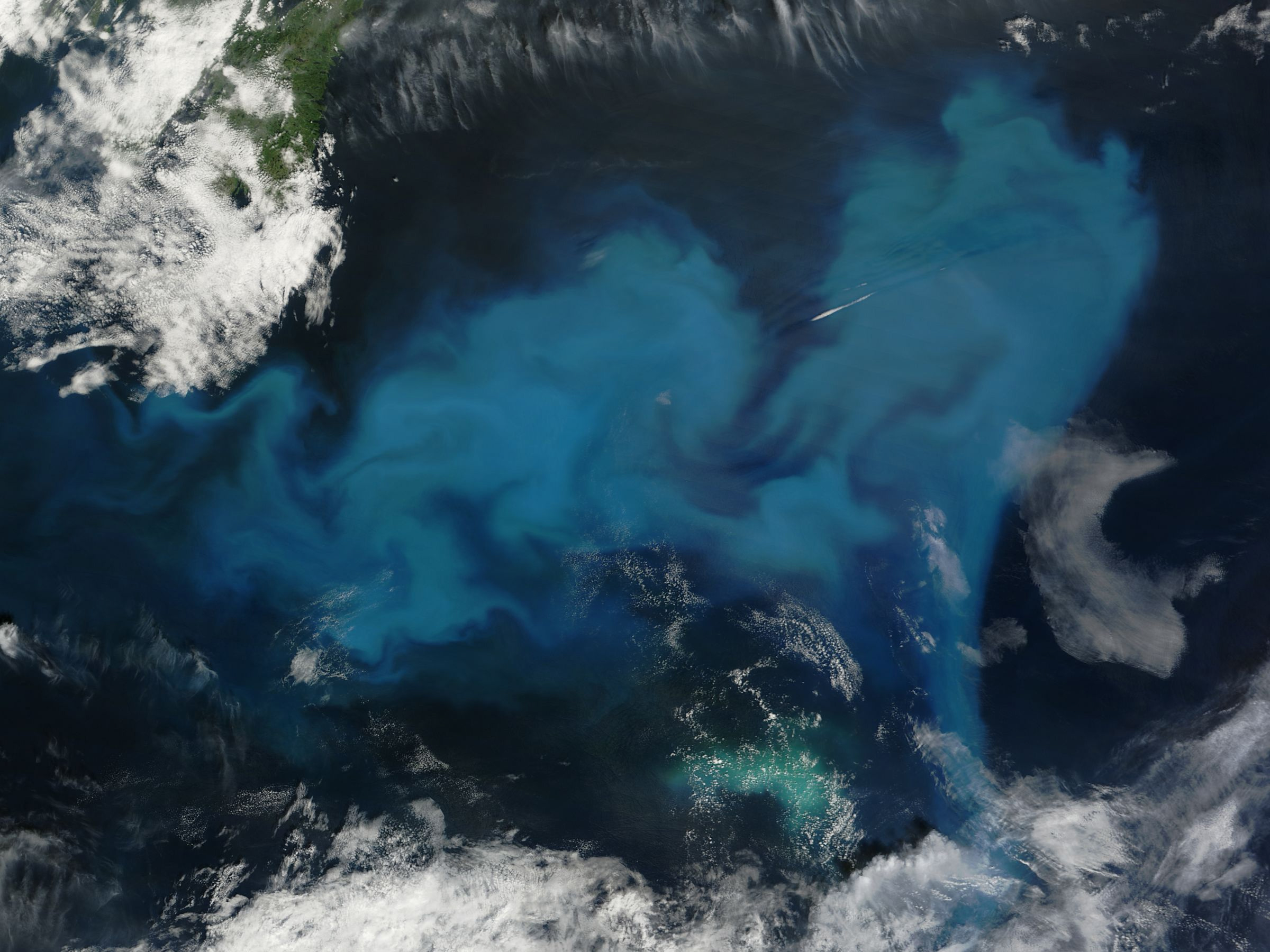
Tracking Health of Marine Mammal Ecosystems
Phytoplankton are the center of the marine food web. These microscopic organisms are food for bigger animals like zooplankton, fish, and shellfish – and ultimately whales and dolphins. While PACE can’t directly detect fish or mammals below the surface of the ocean, it can view communities of phytoplankton, which can inform scientists about the ocean ecosystem in which fish and mammals live.
By examining phytoplankton, scientists can gain valuable insights into changes occurring within marine habitats, as these microorganisms often serve as early indicators of regional ecosystem health. Liz Ferguson, CEO and marine ecologist for Ocean Science Analytics, studies marine mammals off the Pacific Coast of North America.
Monitoring plankton communities enhances scientists’ ability to perceive the intricate dynamics within marine ecosystems. By closely monitoring shifts in environmental variables and the behavior of indicator species such as marine mammals, Ferguson can study the impact of climate change on the California current's ecosystems.
Doubling Up Satellite Data
Some species of phytoplankton produce toxins that can be dangerous for humans, pets, and livestock. When these phytoplankton multiply to large numbers, it’s called a harmful algal bloom.
Richard Stumpf and Michelle Tomlinson, oceanographers with the National Oceanic and Atmospheric Administration (NOAA), use satellite data to study these blooms and help inform communities about their risks. They have been using data from the Ocean and Land Color Instrument on the European Space Agency's Sentinel-3 satellite, which captures Earth data by measuring certain wavelengths of light. PACE’s Ocean Color Instrument sensor does the same, but as a hyperspectral instrument, it can detect more than 200 wavelengths – more than five times the number observed by Sentinel-3 and other current instruments.
PACE data can help Stumpf and Tomlinson continue their research on how the color of harmful algal blooms change over time and space. Choosing specific wavelengths of data from PACE can also help verify the data from Sentinel-3 and extend the long-term data record.
The hyperspectral capabilities of PACE can allow scientists and environmental managers to not only spot emerging blooms, but also identify the specific communities of phytoplankton that make up the bloom. Detecting these details helps scientists better inform local water managers about the location, timing, and type of harmful algal blooms, which can help mitigate risks to the public.