


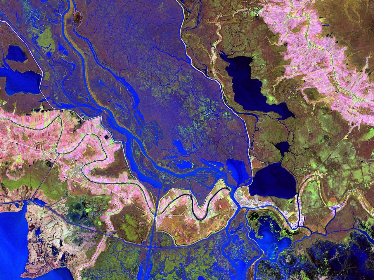
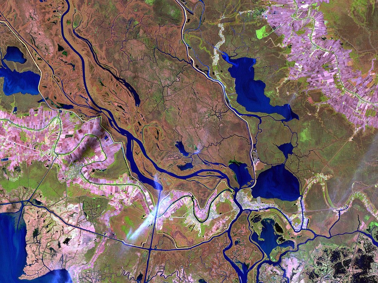
before
after
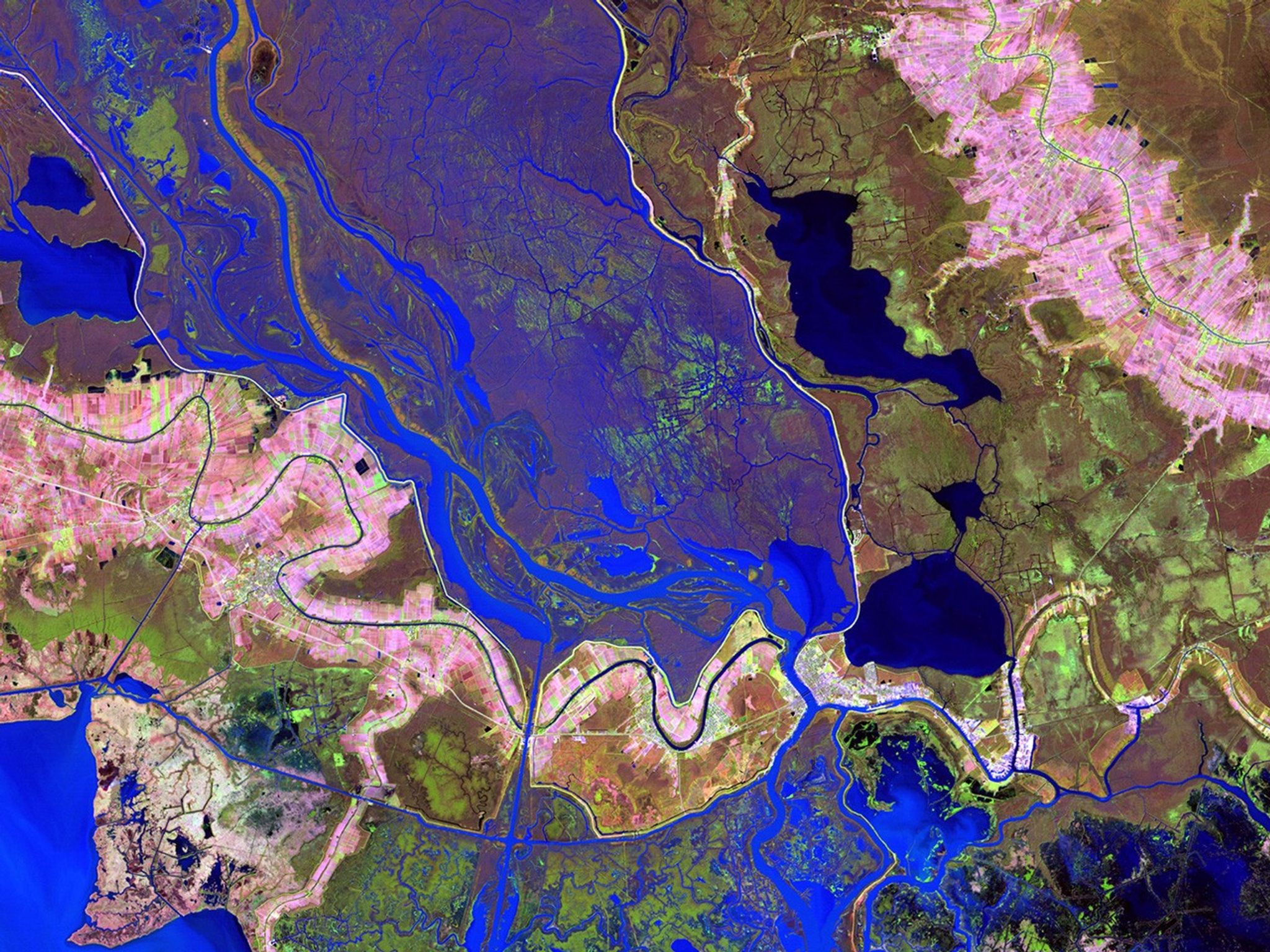

Before and After
Wax Lake Delta restoration, Louisiana
January 13, 1983 - January 2, 2011
The delta, where the Atchafalaya River flows into the Gulf of Mexico, was formed by sediment following the construction of a canal through Wax Lake in 1941. Since Hurricane Katrina in 2005, the delta has served as a model for restoring wildlife habitat and protection against storm surge in the Mississippi River delta region. Images taken by the Thematic Mapper sensors aboard Landsat 4 and 5. Source: USGS Landsat Missions Gallery, U.S. Department of the Interior / U.S. Geological Survey.


