Real World: Food Security – Monitoring Crops From Space
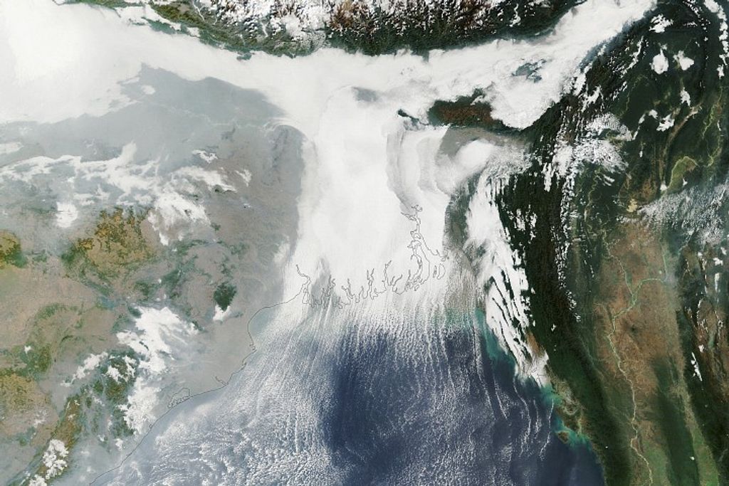
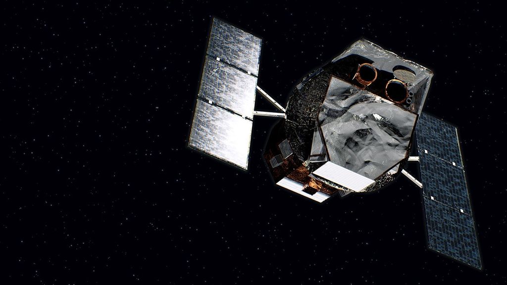
Discover how NASA's Earth-observing satellites gather data to monitor food growth. Dr. Inbal Becker-Reshef describes how mathematics is used to interpret satellite data and describe vegetation and crop yield. Dr. Hannah Kerner shares how algorithms and models use NASA data to describe and predict food supply and food shortages. This work through NASA Harvest provides tools for farmers and governments to describe and predict food security worldwide.
Background Information
Grades 6 through 8
- AgriPulse How NASA Technology Helps Farmers at Home and Abroad
- NASA Agriculture from 'Landsat Imagery a Unique Resource'
- NASA How LandSat images are MADE
- NASA NASA At Your Table: The Space Agency's Surprising Role in Agriculture
- NASA NASA Harvest
- NASA NASA is Everywhere: Farming Tech with Roots in Space
- NASA Earth Science Applied Sciences Ensuring Food Security
- NASA eClips Launchpad: Space Age Technologies Measure Soil Moisture
- NASA eClips Our World: Where Do Crops Grow?
Activities
Grades 6 through 8
- USGS Agriculture from 'Landsat Imagery a Unique Resource'
- Agriculture in the Classroom Agriculture in the Classroom
- My NASA Data Analyzing Land Changes Over Tiime
- My NASA Data Exploring Satellite Imagery and False Color Images
- My NASA Data Tracking Change Over Time - Understanding Remote Sensing

