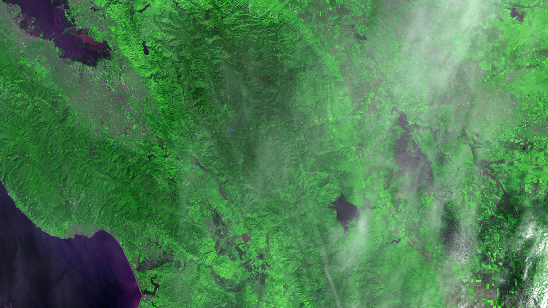
Landsat 3 First Light DetailLandsat 3's first light image.Image Credit: USGS/NASA Facebook Pinterest X LinkedIn Email https://science.nasa.gov/image-detail/amf-10d24889-ad7c-4171-a7d0-c0b083e546f4/Copy URL to clipboard> DownloadShareImage CreditUSGS/NASASize1920x1080px