


Landsat 4 – San Francisco Bay
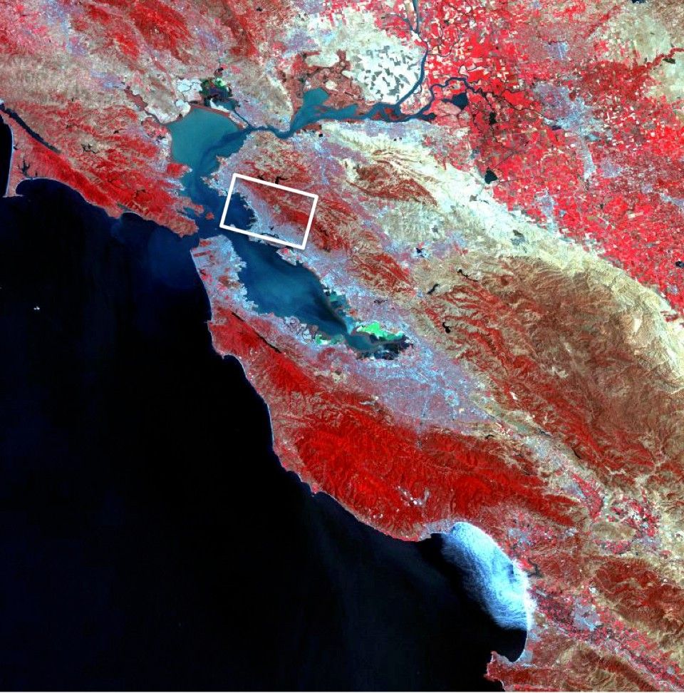
Typical color infrared (CIR)—also known as “false-color” infrared— rendition of a multispectral image. Landsat 4 multispectral scanner system (MSS) scene of the San Francisco Bay area, 4 August 1992. Produced with the green, red, and nearinfrared bands of the MSS displayed as blue, green, and red, respectively. Healthy green vegetation with strong near-infrared reflectance consequently appears bright red.
Image Credit: USGS EROS
- X
https://science.nasa.gov/image-detail/amf-29396052-10e0-4f83-b25b-40defa09f660/
Image CreditUSGS EROS
Size960x972px
