


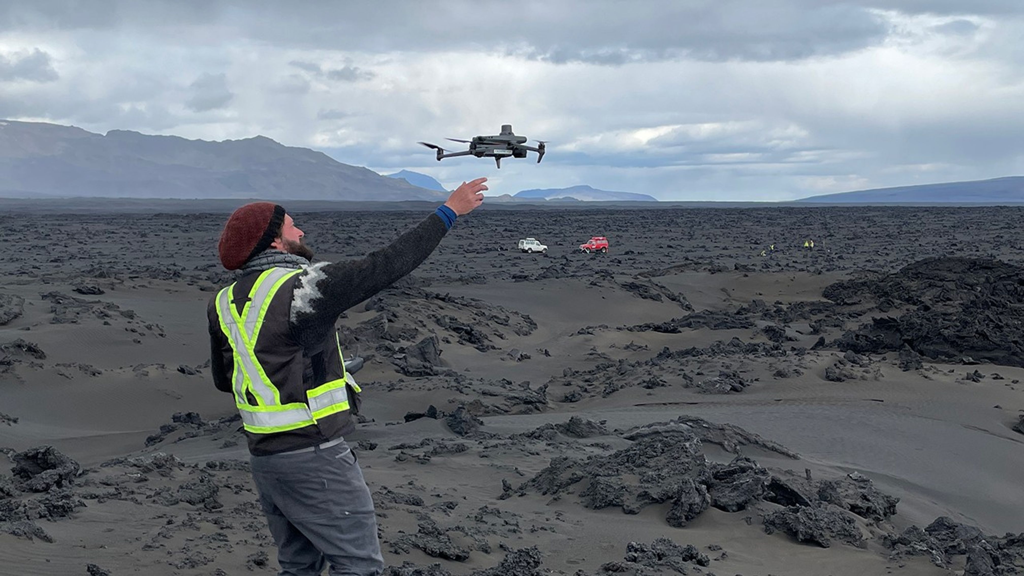
Using a Drone to Check Surface Roughness
Collaborator Christopher Hamilton (University of Arizona, and University of Iceland) used a drone to acquire surface roughness data to complement other data acquired by the team.
Image Credit: NASA/JPL-Caltech
- X
https://science.nasa.gov/image-detail/amf-2fa3c87f-1bb7-4e8c-9630-08cde2cca75f/
Image CreditNASA/JPL-Caltech
Size4032x2268px
